Guidebook with maps/step-by-step
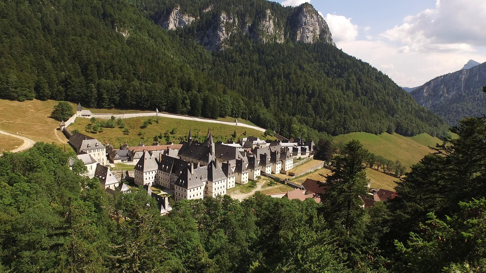
Steps of the itinerary : Parking Randonneurs > La Correrie > Le Vallon du Monastère > Habert de Chartroussette > Habert de Billon Aval > Le Réservoir > Notre Dame de Casalibus > Bourdoire > Sous Mauvernay > Parking Randonneurs.
(1) From the «parking des randonneurs», walk down the access road and continue straight ahead on the D103, leaving the monastery road on the right. Cross the Pont des Allemands over the St Bruno stream, turn right across the forest road and take the path on the left. It skirts the hill. Climb the path on the right at the edge of the wood.
(2) Pass the Chartroussette fountain and climb the wide path. Take the forest road on the right, then climb the stony track on the left towards Billon.
(3) At the edge of the wood, below the Habert de Billon, descend into the undergrowth on the Chemin du Pavé on the right. At the «Réservoir» post, take the left-hand track. After two hairpins, continue north to reach the Notre Dame de Casalibus chapel.
(4) Climb the steep right-hand track and continue left. Cross the forest track and reach the «Bourdoire» post.
(5) Cut the track again and take the path up the hillside.
(6) At the «Sous Mauvernay» post, take the right-hand path (GR9 - white and red markings). It descends on a slope, crosses several talwegs (valley floor), then continues on a balcony (be careful, steep slope!)
(7) At the intersection, go right, cross a talweg and continue on a slope. The path widens. Descend the path in tight laces. Continue downhill to the right along the wide, stony path, then take the track to the left to return to the parking lot.