


Guidebook with maps/step-by-step
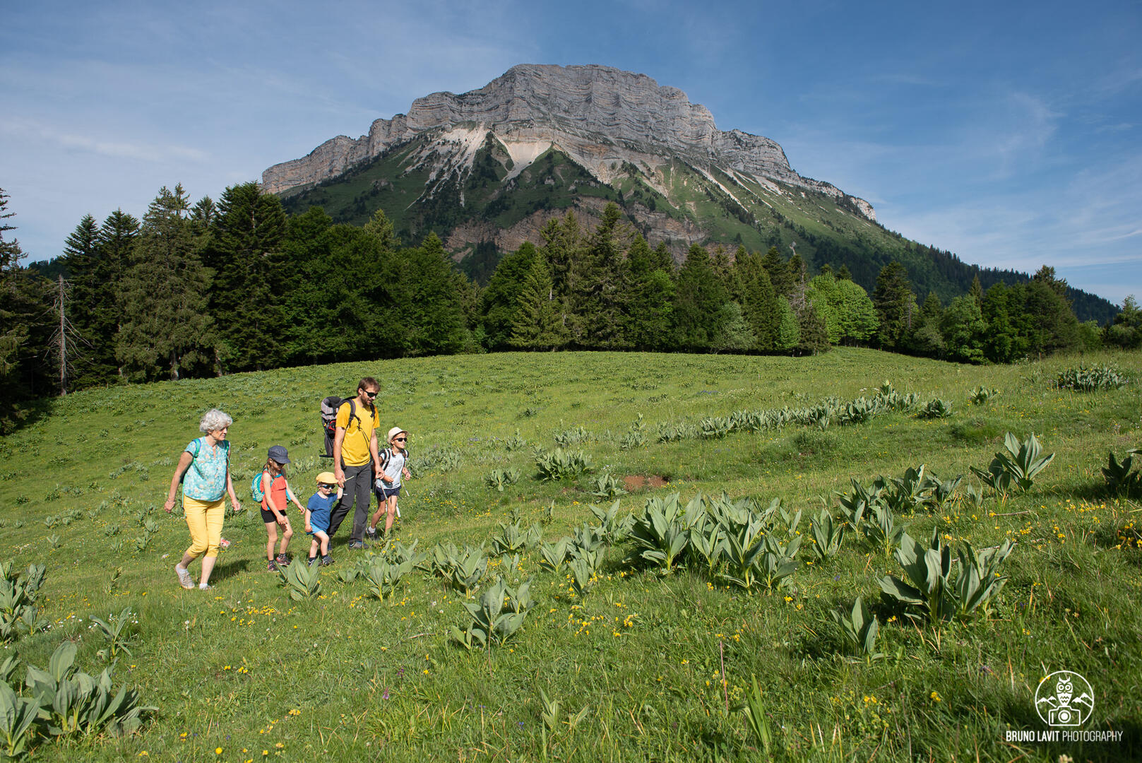
(1) From the parking lot, follow the GR9 (red and white markers) to the hamlet of Jallière. We rejoin the road for a few moments before continuing on a good path to the meadows of Montjalat (1150 m). The path enters the forest and, after about 100 m, leaves the GR at Pied de Velouse (2) to go right (signposted Emeindras). Below, a wider path leads to the habert (sheepfold) of Emeindras de Dessous (ruins of a refuge destroyed by an avalanche). (3) The path curves sharply to the right across the meadow before reaching Emeindras de Dessus (4), a habert used by the herdsman for the cows that spend the summer here. The ridge above offers splendid panoramic views of the Alps, from Taillefer to Mont Blanc, the Belledonne chain and the Chartreuse peaks (Dent de Crolles, Chamechaude, Grand Som...).
For the descent, follow the steep forest track to the left (5) at the first sharp right-hand bend below Emeindras de Dessus. Cross the torrent and turn left again at the crossroads.
(6) At the hamlet of Les Combes, rejoin the road for 200 m, before returning to the parking lot on the right at the crossroads with La Croix du Rocher.
What to see / do nearby:
- Petits Jardiniers (10 km from the start): medicinal plant cultivation.
- Musée Arcabas en Chartreuse (13 km from the start): St Hugues church.
- Badiane Créations (14 km from the start): clothing creations.
- Musée de la Grande Chartreuse (15 km from the start): audio-guided tour.
For more information and other tour ideas, visit chartreuse-tourisme.com/rsf
Information / safety :
- to make the most of your walks and hikes in complete safety, it's a good idea to adopt a few rules and follow a few tips! Before setting off, follow our recommendations and advice on chartreuse-tourisme.com/conseils-rando-trail (or on request from tourist offices).
- A mountain leader is a specialist in mountain fauna and flora, off-trail hiking away from the crowds, local history, alpine and farming traditions, etc. in complete safety! Just ask! Detailed list on chartreuse-tourisme.com/accomp (or at tourist offices).
- You hike under your own responsibility. Chartreuse Tourisme and the tourist offices cannot be held responsible for the itineraries proposed.
Useful numbers :
- Meteo (please consult before setting off): 3250 or www.meteo.fr
- Mountain rescue: 112

