


-
En live
1 - ski nordiqueMise à jour : 25 février 2025 - 12:54
- Col de Marcieu
- Col de Porte
- Le Désert d'Entremont
- Le Granier
- Le Sappey en Chartreuse
- St Hilaire du Touvet
- St Hugues / Les Egaux
- Le Planolet
WeatherTotal snow depthSki lifts0/4Mise à jour : 14 avril 2025 - 14:09 -
Book
online -
Shop
online
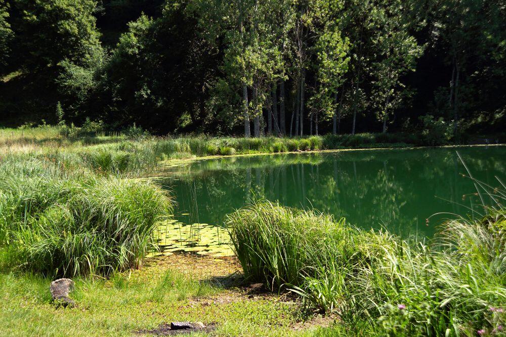
Walking trail: Saint Sixte crypt
Sport, Pedestrian sports, Hiking itinerary
in Merlas
6.1
km
2h
Medium
- Departure
- Merlas
-
-
Difference in height
- 278 m
-
-
-
Plain text rates
- Free access.
-
-
-
Plain text period
- From 01/01 to 12/31.
-
-
-
Environment
-
-
-
Documentation
-
- Rando pédestre : La crypte de Saint-Sixte
- Gpx : La crypte de Saint-Sixte
- Kml : La crypte de Saint-Sixte
-
- See all reviews
- 278 meters of difference in height
-
- Maximum altitude : 745 m
- Minimum altitude : 467 m
- Total positive elevation : 278 m
- Total negative elevation : -278 m
- Max positive elevation : 24 m
- Min positive elevation : -278 m
Services
-
-
Services
-
