-
En live
1 - ski nordiqueMise à jour : 25 février 2025 - 12:54
- Col de Marcieu
- Col de Porte
- Le Désert d'Entremont
- Le Granier
- Le Sappey en Chartreuse
- St Hilaire du Touvet
- St Hugues / Les Egaux
- Le Planolet
WeatherTotal snow depthSki lifts0/4Mise à jour : 14 avril 2025 - 14:09 -
Book
online -
Shop
online


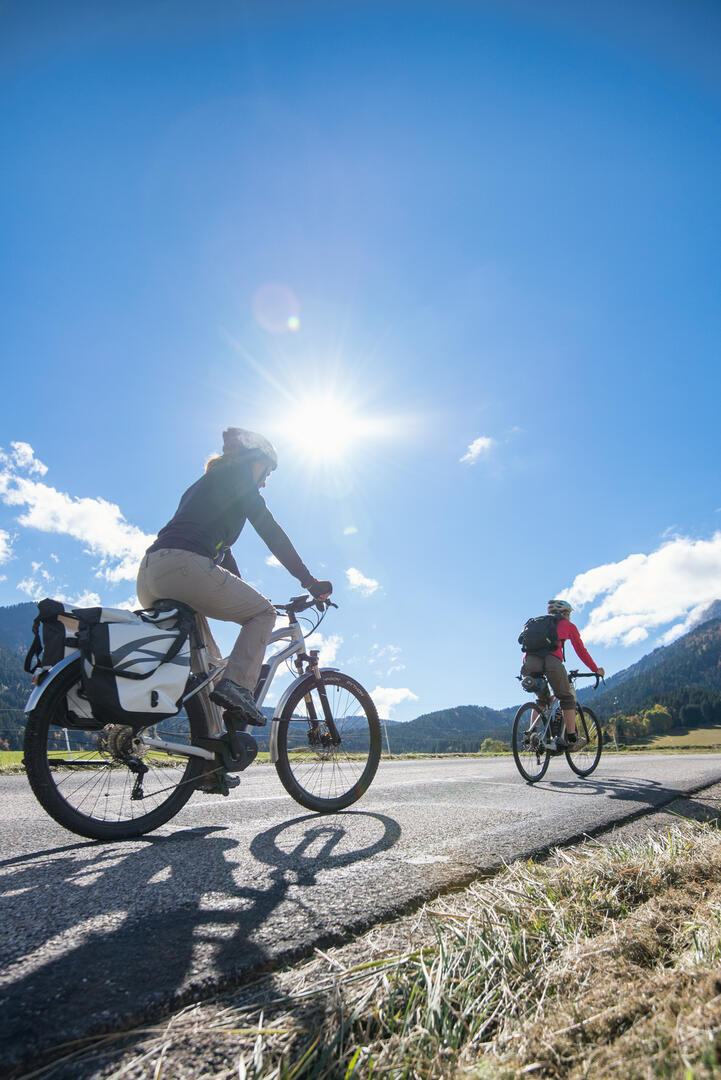
P'tites Routes Du Soleil - La traversée de la Chartreuse en vélo
Sport, Cycling sports, Cycle tourism route
in Francin
42.4
km
- Departure
- Francin
-
-
Difference in height
- 1415.07 m
-
-
-
Plain text period
-
All year round.
Subject to snow conditions.
-
-
-
Documentation
- GPX / KML files allow you to export the trail of your hike to your GPS (or other navigation tool)
-
- See all reviews
- 1415 meters of difference in height
-
- Maximum altitude : 1348 m
- Minimum altitude : 215 m
- Total positive elevation : 1415 m
- Total negative elevation : -1842 m
- Max positive elevation : 288 m
- Min positive elevation : -221 m
