


-
En live
1 - ski nordiqueMise à jour : 25 février 2025 - 12:54
- Col de Marcieu
- Col de Porte
- Le Désert d'Entremont
- Le Granier
- Le Sappey en Chartreuse
- St Hilaire du Touvet
- St Hugues / Les Egaux
- Le Planolet
WeatherTotal snow depthSki lifts0/4Mise à jour : 14 avril 2025 - 14:09 -
Book
online -
Shop
online
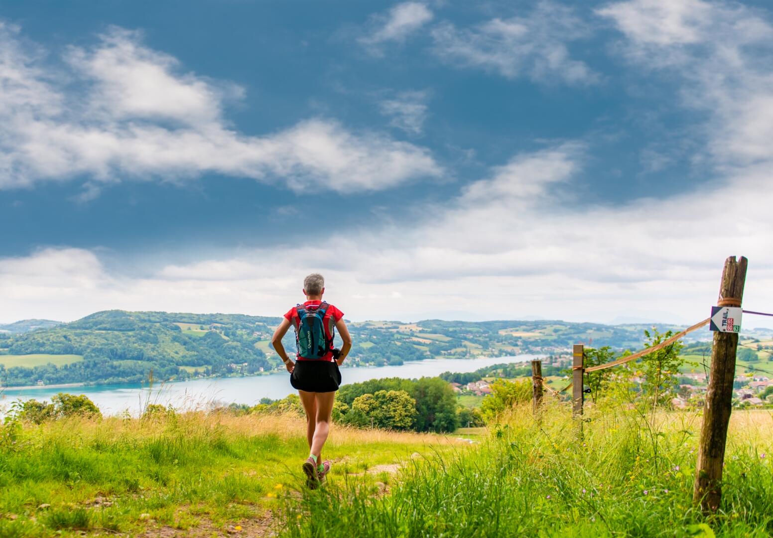
N°65 : Le grand trail du lac de Paladru
Sport, Pedestrian sports, Trail route
in Paladru
25.1
km
- Departure
- Paladru
-
-
Difference in height
- 667.333 m
-
-
-
Plain text period
- All year round.
-
-
-
Spoken languages
-
-
-
-
-
Documentation
-
- Parcours Trail n°65 Grand tour du lac
- Gpx : Parcours trail n°65 Le grand tour du lac de Paladru
- Kml : Parcours trail n°65 Le grand tour du lac de Paladru
-
- See all reviews
- 667 meters of difference in height
-
- Maximum altitude : 723 m
- Minimum altitude : 493 m
- Total positive elevation : 667 m
- Total negative elevation : -667 m
- Max positive elevation : 218 m
- Min positive elevation : -165 m
