-
En live
1 - ski nordiqueMise à jour : 25 février 2025 - 12:54
- Col de Marcieu
- Col de Porte
- Le Désert d'Entremont
- Le Granier
- Le Sappey en Chartreuse
- St Hilaire du Touvet
- St Hugues / Les Egaux
- Le Planolet
WeatherTotal snow depthSki lifts0/4Mise à jour : 14 avril 2025 - 14:09 -
Book
online -
Shop
online


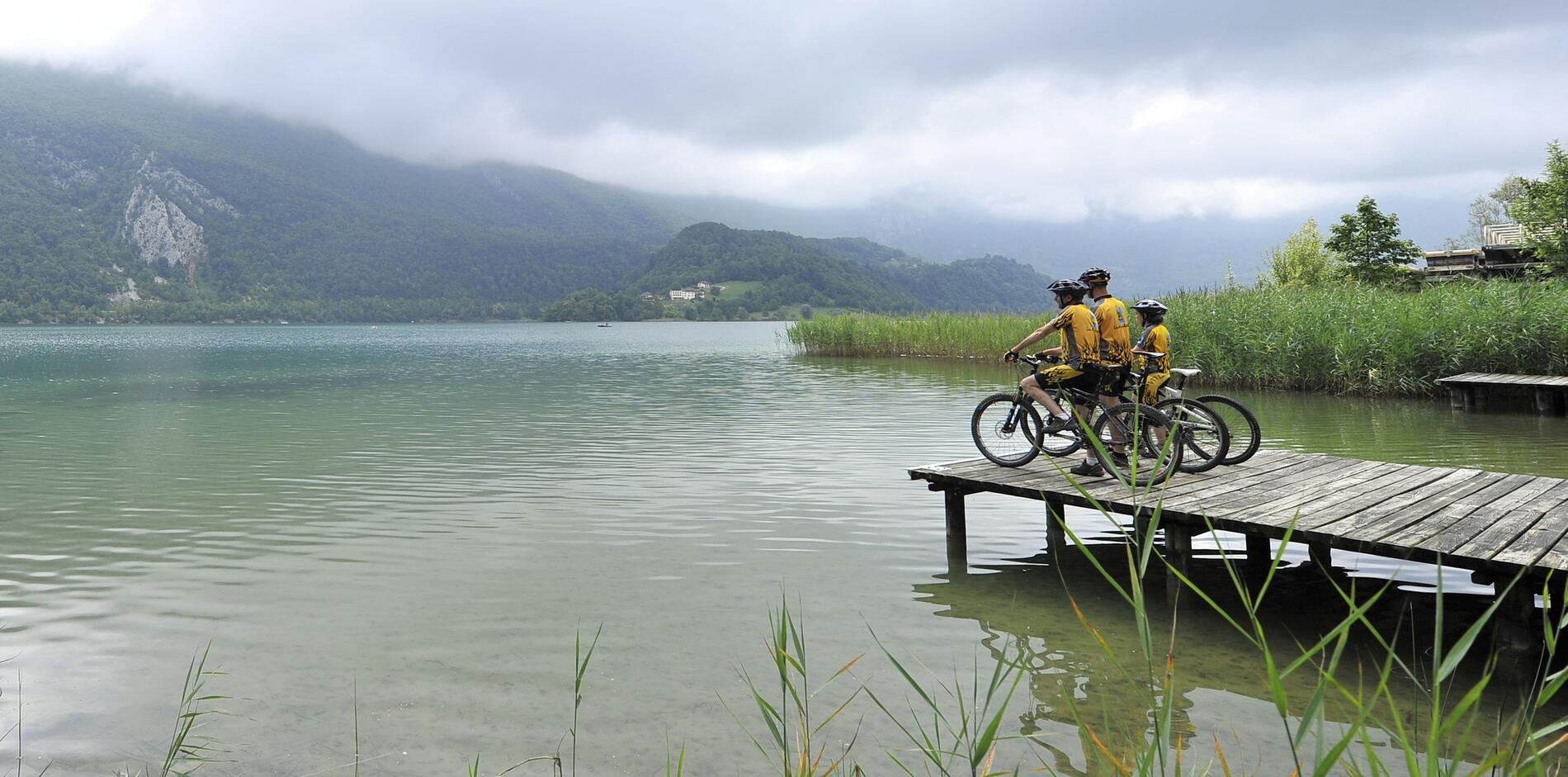
Mountain biking route 8 – On the route of La Chartreuse
Sport, Cycling sports, Mountain biking itinerary
in Nances
49.8
km
-
Very difficult level. There are several difficult passage on the uphill route, so a good level of fitness is required.
-
After the ascent of Col de la Crusille via Nances and Novalaise, you will cross the Banchet mountains from the forest before a not so technical descent towards la Bridoire. The circuit then goes in Chartreuse with the GR9 (Gruat ascent) and on the foothills of Mont Grêle on the road leading to la Pissoire.
A long and hard slope that is followed by a softer forest route. Final descent on Aiguebelette-le-Lac before going back to Lépin-le-Lac and the west side of the lake.
- Departure
- Nances
-
-
Difference in height
- 1516.62 m
-
-
-
Plain text period
- All year round daily.
-
-
-
Environment
-
-
-
Documentation
- GPX / KML files allow you to export the trail of your hike to your GPS (or other navigation tool)
-
- See all reviews
- 1517 meters of difference in height
-
- Maximum altitude : 997 m
- Minimum altitude : 273 m
- Total positive elevation : 1517 m
- Total negative elevation : -1517 m
- Max positive elevation : 285 m
- Min positive elevation : -273 m
Services
-
-
Services
-
