


-
En live
1 - ski nordiqueMise à jour : 25 février 2025 - 12:54
- Col de Marcieu
- Col de Porte
- Le Désert d'Entremont
- Le Granier
- Le Sappey en Chartreuse
- St Hilaire du Touvet
- St Hugues / Les Egaux
- Le Planolet
WeatherTotal snow depthSki lifts0/4Mise à jour : 14 avril 2025 - 14:09 -
Book
online -
Shop
online
MTB track no. 6 - Château Richard
Sport, Cycling sports, Mountain biking itinerary
in Nances
26.4
km
-
Very difficult level. The route takes riders up the Col de l’Epine (987 m). Take care – several sections are very technical.
-
CAUTION: Forestry work may require the closure of the Pré-Puisat forest road (Monday to Friday, from 9:00 a.m. to 6:00 p.m.) until December 31, 2025.
Follow the route of circuit no. 4 to the Villas Doria ruins, then take the Col de l'Epine road for 2 km. Shortly before the pass, take the forest road leading to the Combe d'Armée parking lot. At the parking lot, take the path on the left. The climb quickly becomes steep, with one section requiring you to push your bike. At a fork in the...CAUTION: Forestry work may require the closure of the Pré-Puisat forest road (Monday to Friday, from 9:00 a.m. to 6:00 p.m.) until December 31, 2025.
Follow the route of circuit no. 4 to the Villas Doria ruins, then take the Col de l'Epine road for 2 km. Shortly before the pass, take the forest road leading to the Combe d'Armée parking lot. At the parking lot, take the path on the left. The climb quickly becomes steep, with one section requiring you to push your bike. At a fork in the road, don't continue towards Château Richard, but go straight ahead. You'll pass through a relatively flat section before descending again. Follow the signs through the forest. You come to a tarmac forest road, which you follow down to a chalet-restaurant, before which you continue to the left and descend into the forest. Be careful, some passages become very technical. Be sure to follow the signposts, as there are many junctions along the way.
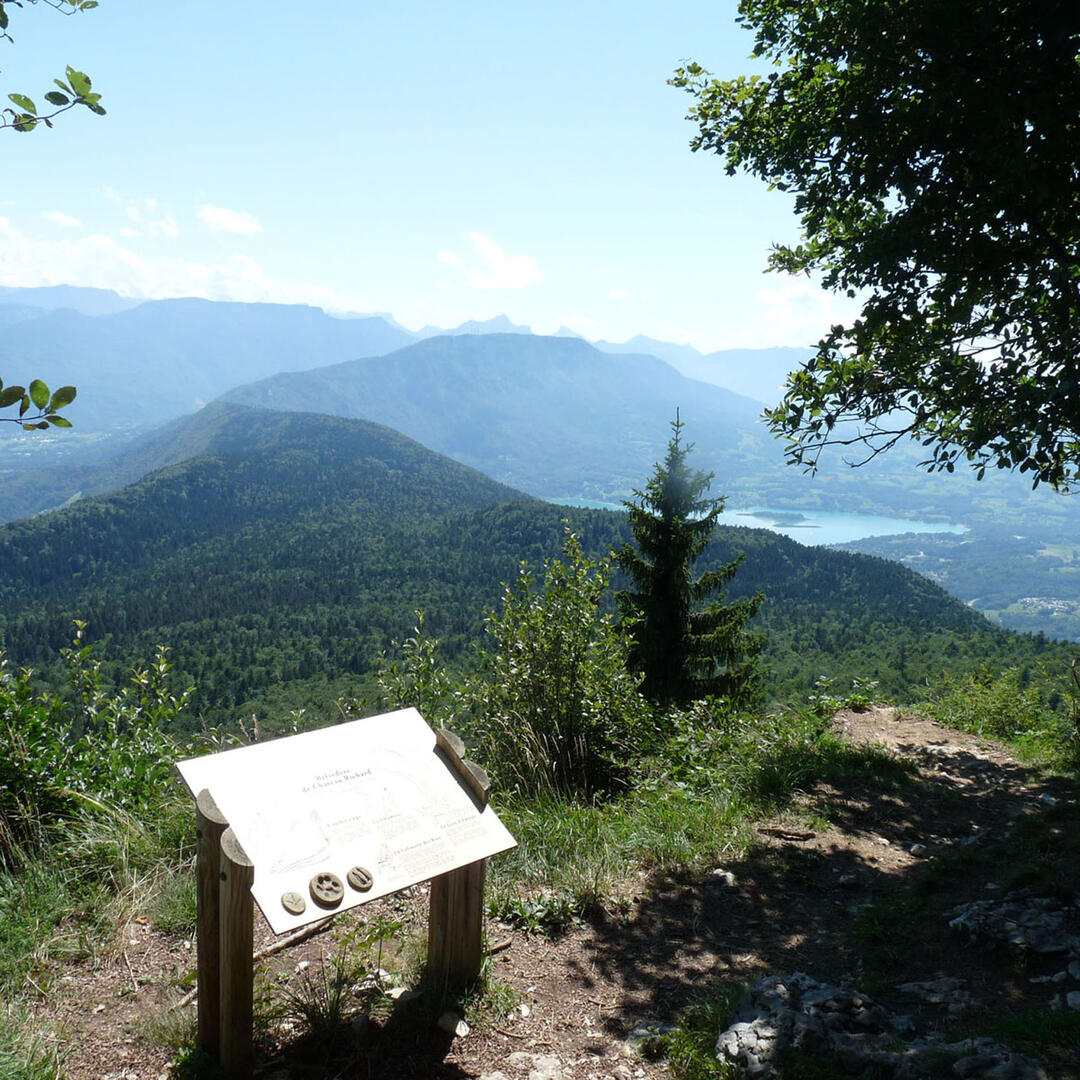
The route eventually leaves the forest and forks left onto the D41. It crosses La Rossière, from where you have a magnificent view of the lake. Don't forget to take the road back up to the Doria villas (1 km) for the final descent through the Nances forest to Lac d'Aiguebelette (circuit no. 4).
- Departure
- Nances
-
-
Difference in height
- 1180.35 m
-
-
-
Plain text period
- From 15/03 to 15/11 daily.
-
-
-
Environment
-
-
-
Documentation
- GPX / KML files allow you to export the trail of your hike to your GPS (or other navigation tool)
-
- See all reviews
- 1180 meters of difference in height
-
- Maximum altitude : 1253 m
- Minimum altitude : 378 m
- Total positive elevation : 1180 m
- Total negative elevation : -1180 m
- Max positive elevation : 317 m
- Min positive elevation : -619 m
Services
-
-
Services
-

