


-
En live
1 - ski nordiqueMise à jour : 25 février 2025 - 12:54
- Col de Marcieu
- Col de Porte
- Le Désert d'Entremont
- Le Granier
- Le Sappey en Chartreuse
- St Hilaire du Touvet
- St Hugues / Les Egaux
- Le Planolet
WeatherTotal snow depthSki lifts0/4Mise à jour : 14 avril 2025 - 14:09 -
Book
online -
Shop
online
Mont Grêle and Saint-Michel pass
Sport, Pedestrian sports, Hiking itinerary
in Lépin-le-Lac
17.9
km
6h 30min
Hard
-
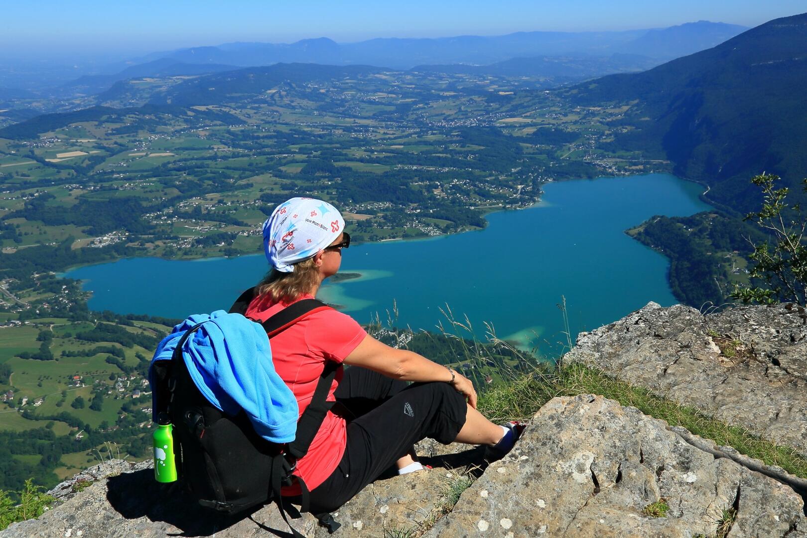
Physically challenging walk starting out from Attignat-Onicn, Lépin or Aiguebelette, with a change in altitude of 800 m and a clear view of the lake and its surrounding area (5 ½ to 6 ½ hrs, depending on the route).
- Departure
- Lépin-le-Lac
-
-
Difference in height
- 1224.64 m
-
-
-
Plain text period
- All year round.
-
-
-
Environment
-
-
-
Documentation
- GPX / KML files allow you to export the trail of your hike to your GPS (or other navigation tool)
-
- See all reviews
- 1225 meters of difference in height
-
- Maximum altitude : 1433 m
- Minimum altitude : 406 m
- Total positive elevation : 1225 m
- Total negative elevation : -1225 m
- Max positive elevation : 765 m
- Min positive elevation : -328 m
Services
-
-
Services
-
