


Guidebook with maps/step-by-step
At the hamlet of La Charmette (1), follow the road signs
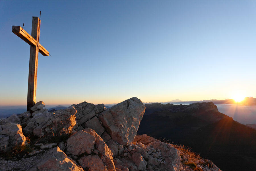
and the red and white GR9 signs for Le Habert de Chamechaude. At Jailleres, continue straight on. At Le Bruchet, follow the GR9 towards Le Habert de Chamechaude. At Le Habert, turn left (2). At the Cabane de Bachasson (3) (the only watering place on the route), follow "Chamechaude". From here the route to the summit (4) is a round trip. Back at the
cabane de Bachasson, turn right and follow "col de Porte". At the pass (5), take the yellow and red
yellow and red path (GR de Pays) towards "Le Sappey Église".
When the forest track joins the road, follow it for 30 m and turn right down the Chemin des Chartreux (yellow markings). At the last crossroads, follow "Le Sappey l'Eglise" to reach the start (6).
