-
En live
1 - ski nordiqueMise à jour : 25 février 2025 - 12:54
- Col de Marcieu
- Col de Porte
- Le Désert d'Entremont
- Le Granier
- Le Sappey en Chartreuse
- St Hilaire du Touvet
- St Hugues / Les Egaux
- Le Planolet
WeatherTotal snow depthSki lifts0/4Mise à jour : 14 avril 2025 - 14:09 -
Book
online -
Shop
online


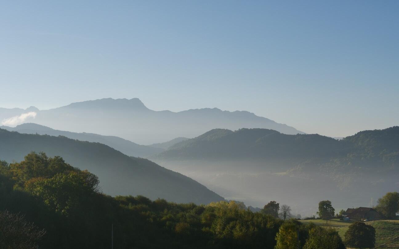
Les plateaux de Haute-Valdaine
Sport, Cycling sports, Routes for electrically assisted cycles
in Montferrat
27.1
km
2h 30min
Medium
- Departure
- Montferrat
-
-
Difference in height
- 641.456 m
-
-
-
Plain text period
- All year round.
-
-
-
Spoken languages
-
-
-
-
-
Documentation
-
- Circuit VAE n°7 Les plateaux de Haute-Valdaine
- Circuit VAE n°7 Les plateaux de haute-valdaine
- Circuit VAE n°7 Les plateaux de haute-valdaine
-
- See all reviews
- 641 meters of difference in height
-
- Maximum altitude : 653 m
- Minimum altitude : 374 m
- Total positive elevation : 641 m
- Total negative elevation : -641 m
- Max positive elevation : 205 m
- Min positive elevation : -205 m
