


-
En live
1 - ski nordiqueMise à jour : 25 février 2025 - 12:54
- Col de Marcieu
- Col de Porte
- Le Désert d'Entremont
- Le Granier
- Le Sappey en Chartreuse
- St Hilaire du Touvet
- St Hugues / Les Egaux
- Le Planolet
WeatherTotal snow depthSki lifts0/4Mise à jour : 14 avril 2025 - 14:09 -
Book
online -
Shop
online
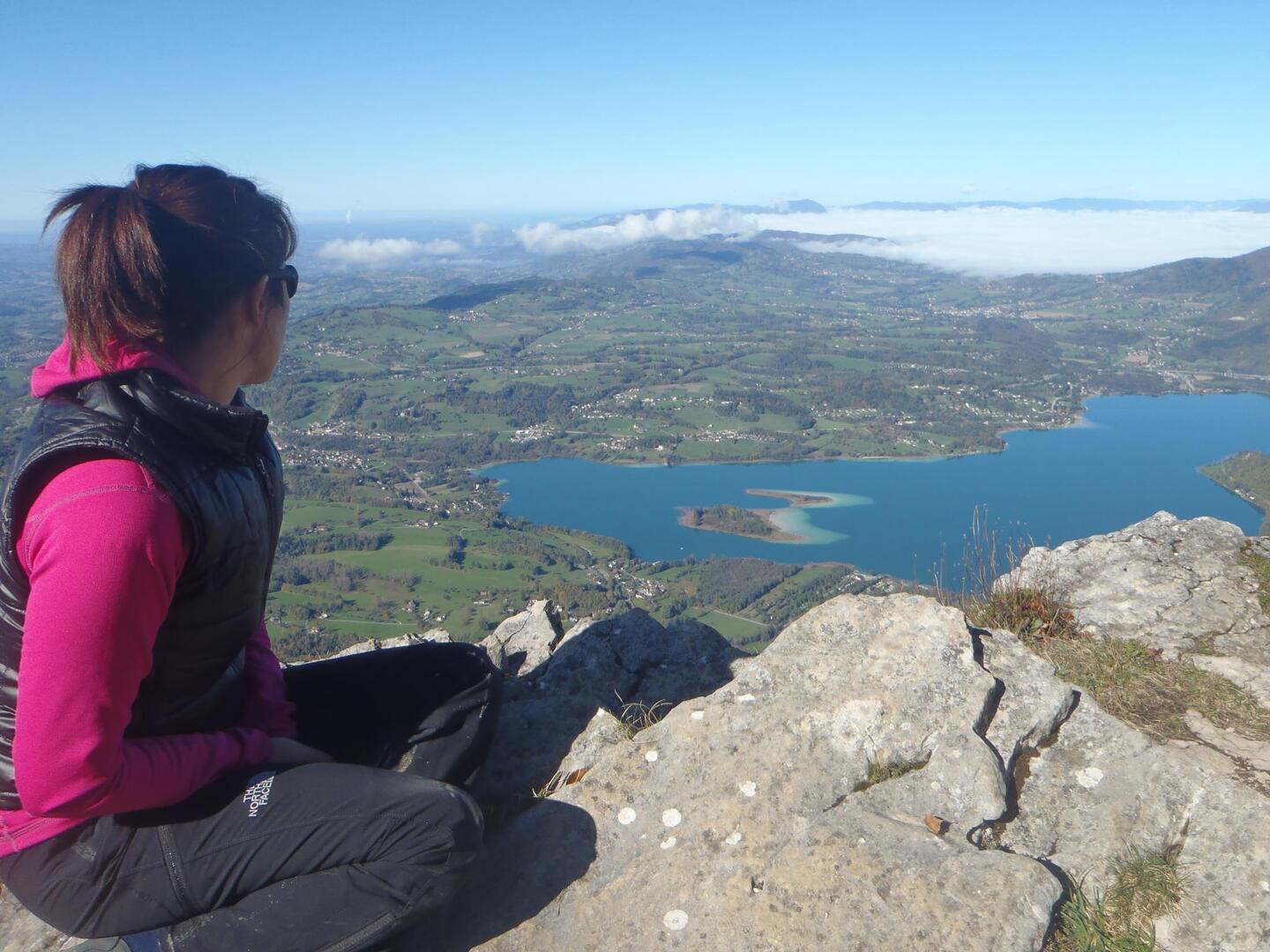
Le Mont Grêle
Sport, Pedestrian sports, Hiking itinerary
in Attignat-Oncin
15.7
km
5h
Hard
- Departure
- Attignat-Oncin
-
-
Difference in height
- 912.253 m
-
-
-
Plain text period
-
From 01/05 to 30/11.
Subject to favorable weather.
-
-
-
Documentation
- GPX / KML files allow you to export the trail of your hike to your GPS (or other navigation tool)
-
- See all reviews
- 912 meters of difference in height
-
- Maximum altitude : 1433 m
- Minimum altitude : 611 m
- Total positive elevation : 912 m
- Total negative elevation : -912 m
- Max positive elevation : 815 m
- Min positive elevation : -533 m
Services
-
-
Services
-
