


![Saint Hilaire funicular [Currently closed]](https://api.cloudly.space/resize/cropratioresize/460/345/60/aHR0cHM6Ly9zdGF0aWMuYXBpZGFlLXRvdXJpc21lLmNvbS9maWxlc3RvcmUvb2JqZXRzLXRvdXJpc3RpcXVlcy9pbWFnZXMvMzgvNDAvMTY0ODY3OC5qcGc=/image.jpg "Saint Hilaire funicular [Currently closed]")
-
En live
1 - ski nordiqueMise à jour : 25 février 2025 - 12:54
- Col de Marcieu
- Col de Porte
- Le Désert d'Entremont
- Le Granier
- Le Sappey en Chartreuse
- St Hilaire du Touvet
- St Hugues / Les Egaux
- Le Planolet
WeatherTotal snow depthSki lifts0/4Mise à jour : 14 avril 2025 - 14:09 -
Book
online -
Shop
online
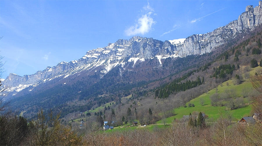
La route forestière du Col de Marcieu
Sport, Pedestrian sports, Hiking itinerary
in Plateau-des-Petites-Roches
9.8
km
4h 30min
Medium
- Departure
- Plateau-des-Petites-Roches
-
-
Difference in height
- 292.198 m
-
-
-
Plain text period
-
From 01/05 to 30/11.
Subject to favorable weather.
-
-
-
Spoken languages
-
-
-
-
-
Documentation
- GPX / KML files allow you to export the trail of your hike to your GPS (or other navigation tool)
-
- See all reviews
- 292 meters of difference in height
-
- Maximum altitude : 1293 m
- Minimum altitude : 1165 m
- Total positive elevation : 292 m
- Total negative elevation : -292 m
- Max positive elevation : 77 m
- Min positive elevation : -78 m
Services
-
-
Services
-

