


-
En live
1 - ski nordiqueMise à jour : 25 février 2025 - 12:54
- Col de Marcieu
- Col de Porte
- Le Désert d'Entremont
- Le Granier
- Le Sappey en Chartreuse
- St Hilaire du Touvet
- St Hugues / Les Egaux
- Le Planolet
WeatherTotal snow depthSki lifts0/4Mise à jour : 14 avril 2025 - 14:09 -
Book
online -
Shop
online
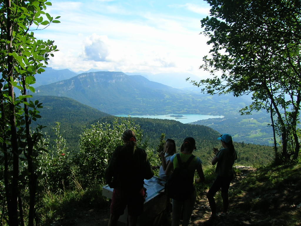
Château Richard and Croix du Signal
Sport, Pedestrian sports, Hiking itinerary
in Novalaise
16.0
km
6h
Hard
-
Two magnificient view points over the Alpes, Lake du Bourget and Lake Aiguebelette. Challenging route (4 to 6 hours walking).
- Departure
- Novalaise
-
-
Difference in height
- 1055.33 m
-
-
-
Plain text period
- All year round.
-
-
-
Environment
-
-
-
Documentation
- GPX / KML files allow you to export the trail of your hike to your GPS (or other navigation tool)
-
- See all reviews
- 1055 meters of difference in height
-
- Maximum altitude : 1446 m
- Minimum altitude : 430 m
- Total positive elevation : 1055 m
- Total negative elevation : -1057 m
- Max positive elevation : 642 m
- Min positive elevation : -559 m
Services
-
-
Services
-


