


-
En live
1 - ski nordiqueMise à jour : 25 février 2025 - 12:54
- Col de Marcieu
- Col de Porte
- Le Désert d'Entremont
- Le Granier
- Le Sappey en Chartreuse
- St Hilaire du Touvet
- St Hugues / Les Egaux
- Le Planolet
WeatherTotal snow depthSki lifts0/4Mise à jour : 14 avril 2025 - 14:09 -
Book
online -
Shop
online
Follaton path
in Dullin
6.6
km
-
A lovely family-friendly trail that crosses stream and valleys. Allow the Follaton to guide you, a mythical little being who, in days gone by, was thought to protect local residents and their homes! 2 ½ hr loop at a child’s pace.
-
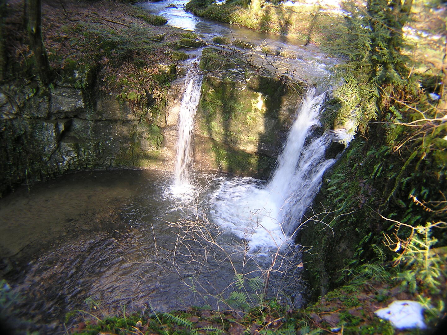
Discover the village of Dullin, where the church has stood the test of time. Follow the Rondelet stream, and halfway through, take a moment to make a short detour to its waterfall. Return to the village of Dullin by following the GR9 trail, and enjoy a viewpoint over the Guiers Valley from the Banc des Dames.
- Departure
- Dullin
-
-
Difference in height
- 199.318 m
-
-
-
Environment
-
-
-
Documentation
- GPX / KML files allow you to export the trail of your hike to your GPS (or other navigation tool)
-
- See all reviews
- 199 meters of difference in height
-
- Maximum altitude : 533 m
- Minimum altitude : 385 m
- Total positive elevation : 199 m
- Total negative elevation : -193 m
- Max positive elevation : 118 m
- Min positive elevation : -66 m
Services
-
-
Services
-
