


Guidebook with maps/step-by-step
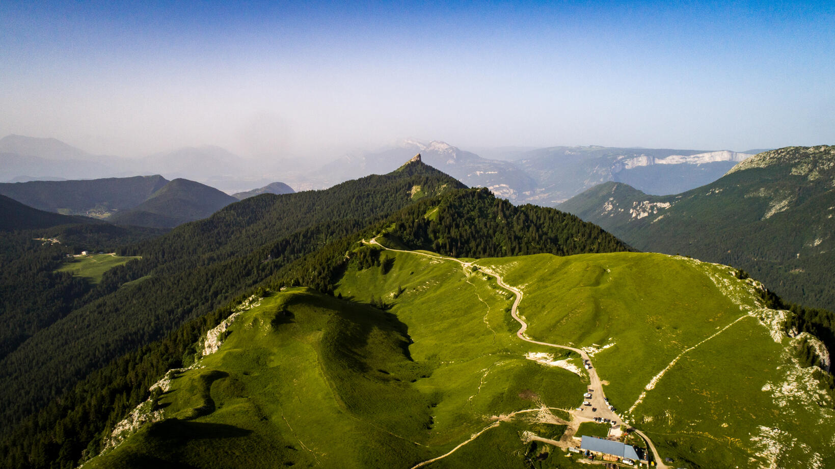
Over the ridge to the Col de Palaquit, used by the Tour de France riders in 2014, then Appanon. We then climb back up to the Col de Porte. The trails can be muddy after a day of rain.

