


Guidebook with maps/step-by-step
You take a gently ascending road towards Perquelin. Upon reaching Pont Giclard, you leave the main road to begin the main ascent (approximately 600 meters of elevation gain) towards Col des Ayes, located at the foot of Dent de Crolles.
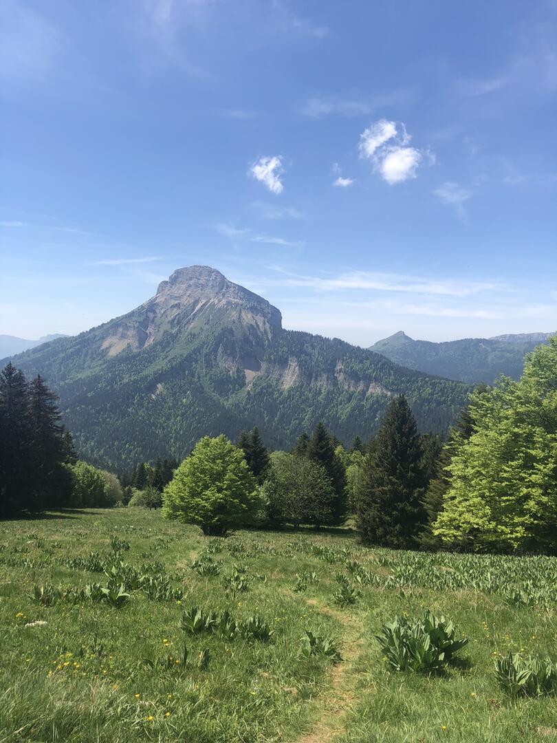
A short descent leads you to Col du Coq, where you find the trails leading to the PDIPR Pré Giclas signpost, offering breathtaking views of Chamechaude, the highest peak in Chartreuse. You enter a Sensitive Natural Area, so please respect the site and its regulations.
Next, you begin your descent through the Océpée forest towards Saint Hugues. Upon returning to the forest road, you will need to ascend to your right to follow the winding trail that snakes above the hamlets, deep in the forest.
At the hamlet of Antonins, cross the road to continue on the path towards Bois du Ban. An ascent will then allow you to join the road and return to your starting point.

