


Guidebook with maps/step-by-step
After descending to the bottom of the resort, you will reach the Porte de l’Enclos (entrance to the Grande Chartreuse area) to begin the long ascent of 1000m+ to Charmant Som through the Bois du Grand Logis.
A large part of the climb takes place in the forest before emerging onto rocky slabs (be cautious in poor conditions).
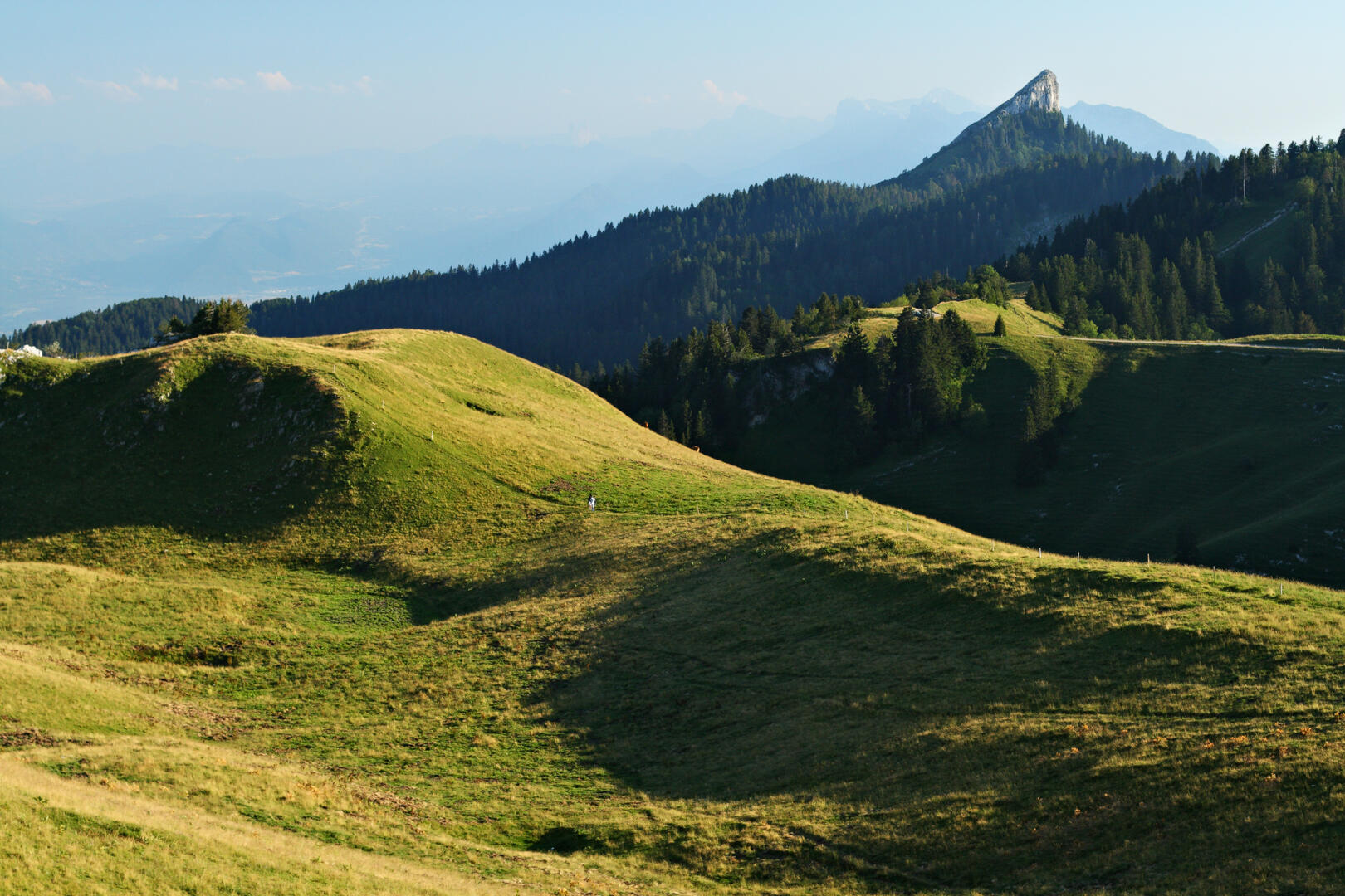
The summit offers a 360° view! At the alpine pasture, where the sheepfold may be an opportunity to grab a drink, you will take the road to the Oratoire d’Orgeval, then follow a ridge path to the foot of the Pinéa (there is an option to continue to the summit).
The descent back to Saint Pierre de Chartreuse passes through the Col de Porte. For the return, head towards Diat, then to the Pont de la Laiterie and the village.
A large part of the climb takes place in the forest before emerging onto rocky slabs (be cautious in poor conditions).
The summit offers a 360° view! At the alpine pasture, where the sheepfold may be an opportunity to grab a drink, you will take the road to the Oratoire d’Orgeval, then follow a ridge path to the foot of the Pinéa (there is an option to continue to the summit).
The descent back to Saint Pierre de Chartreuse passes through the Col de Porte. For the return, head towards Diat, then to the Pont de la Laiterie and the village.

