


-
En live
1 - ski nordiqueMise à jour : 25 février 2025 - 12:54
- Col de Marcieu
- Col de Porte
- Le Désert d'Entremont
- Le Granier
- Le Sappey en Chartreuse
- St Hilaire du Touvet
- St Hugues / Les Egaux
- Le Planolet
WeatherTotal snow depthSki lifts0/4Mise à jour : 14 avril 2025 - 14:09 -
Book
online -
Shop
online
Boucle de Tencovaz - Itinéraire hiver
Sport, Winter sports, Snowshoe itinerary
in Entremont-le-Vieux
5.5
km
2h 15min
Medium
-
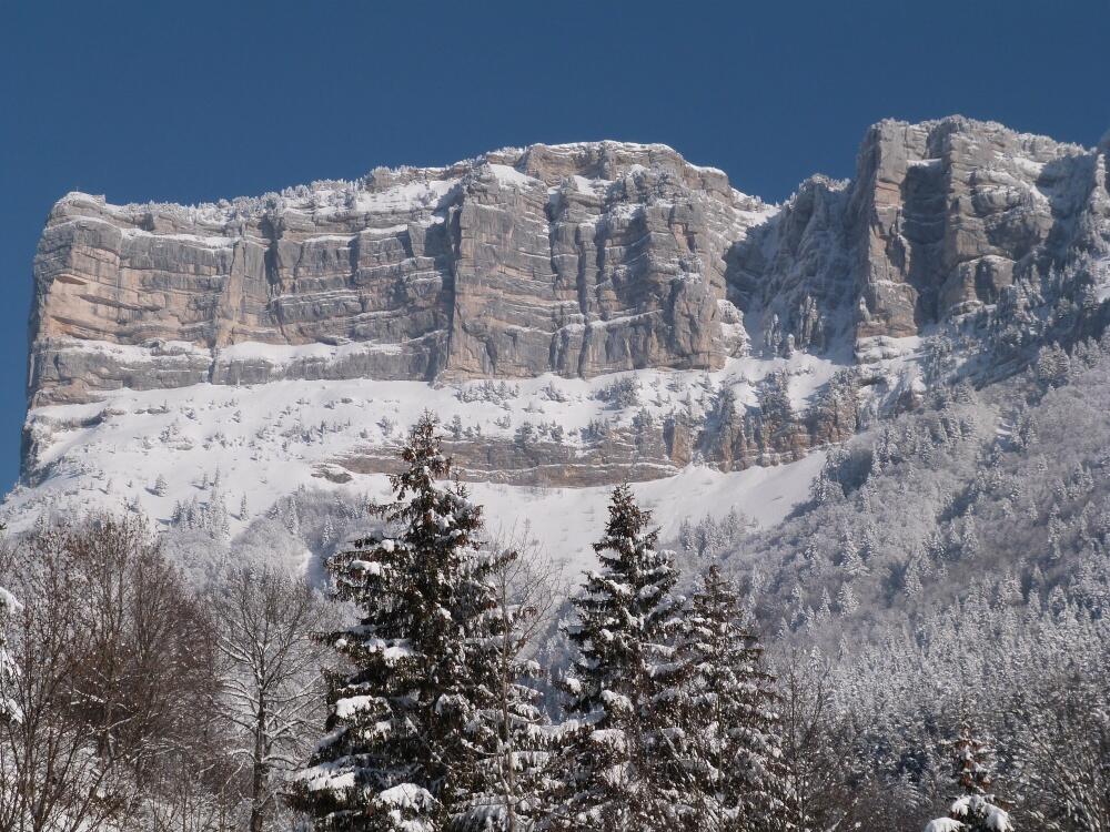
A very pleasant route that will allow you to alternate between clearings and undergrowth, to observe pretty viewpoints on the Entremonts valley and especially to touch "almost with your fingertips" its majesty the Granier and its high rocky escarpments.
- Departure
- Entremont-le-Vieux
-
-
Difference in height
- 241.24 m
-
-
-
Plain text period
-
From 15/12 to 10/03.
Subject to favorable weather.
-
-
-
Environment
-
-
-
Documentation
- GPX / KML files allow you to export the trail of your hike to your GPS (or other navigation tool)
-
- See all reviews
- 241 meters of difference in height
-
- Maximum altitude : 1232 m
- Minimum altitude : 1005 m
- Total positive elevation : 241 m
- Total negative elevation : -241 m
- Max positive elevation : 147 m
- Min positive elevation : -20 m
Services
-
-
Services
-
