Tour du Lac du Bourget depuis Aiguebelette_Nances

Tour du Lac du Bourget depuis Aiguebelette

Sport, Cycling sports, Cycle tourism route in Nances
91.8 km
4h
Medium
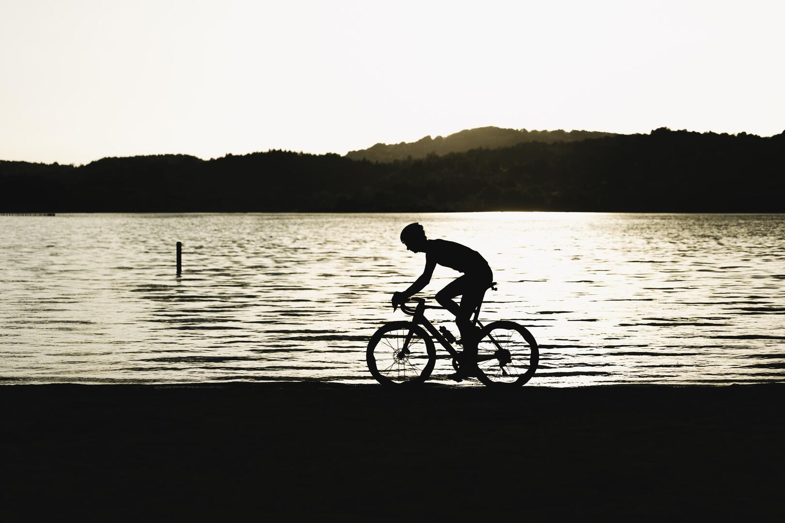
  • Starting from the Maison du Lac d’Aiguebelette, set off to discover the largest natural lake in France !
    This 92 km route offers superb viewpoints over the majestic Lake Bourget, all with an accessible elevation gain.

  • The Tour of Lake Bourget takes you to discover the largest natural lake in France. Starting from the Maison du Lac d’Aiguebelette, the route heads north towards Yenne and then to Chanaz – the 'Little Venice of Savoie' – meandering along the Canal de Savières.
    You will then follow the shores of Lake Bourget for many kilometres until the Tunnel du Chat, which allows you to cross Mont du Chat and connect Chambéry’s cluse to the east with the Avant-Pays Savoyard to the west.
    With a total...
    The Tour of Lake Bourget takes you to discover the largest natural lake in France. Starting from the Maison du Lac d’Aiguebelette, the route heads north towards Yenne and then to Chanaz – the 'Little Venice of Savoie' – meandering along the Canal de Savières.
    You will then follow the shores of Lake Bourget for many kilometres until the Tunnel du Chat, which allows you to cross Mont du Chat and connect Chambéry’s cluse to the east with the Avant-Pays Savoyard to the west.
    With a total elevation gain of around 870 m, this circuit is ideal for intermediate or experienced cyclists looking for a sporty yet accessible ride.
  • Departure
    Nances
  • Difference in height
    2239.97 m
  • Access to Maison du Lac via A43 freeway, exit 12 "Lac d'Aiguebelette". Large parking lots at the freeway exit.
  • Plain text period
    All year round daily.
  • Environment
    • In the country
    • Lake 5 km away
  • Spoken languages
    • French
  • Documentation
    GPX / KML files allow you to export the trail of your hike to your GPS (or other navigation tool)
2240 meters of difference in height
  • Maximum altitude : 859 m
  • Minimum altitude : 226 m
  • Total positive elevation : 2240 m
  • Total negative elevation : -2240 m
  • Max positive elevation : 582 m
  • Min positive elevation : -468 m
Services
  • Services
    • Pets welcome