Tour des Charbonnières: A10 Hiking Path

  • Sport
  • Pedestrian sports
  • Hiking itinerary
Elevation : 339m
Le Bagné, 73610 Attignat-Oncin

Description

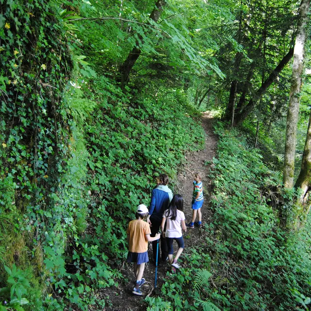
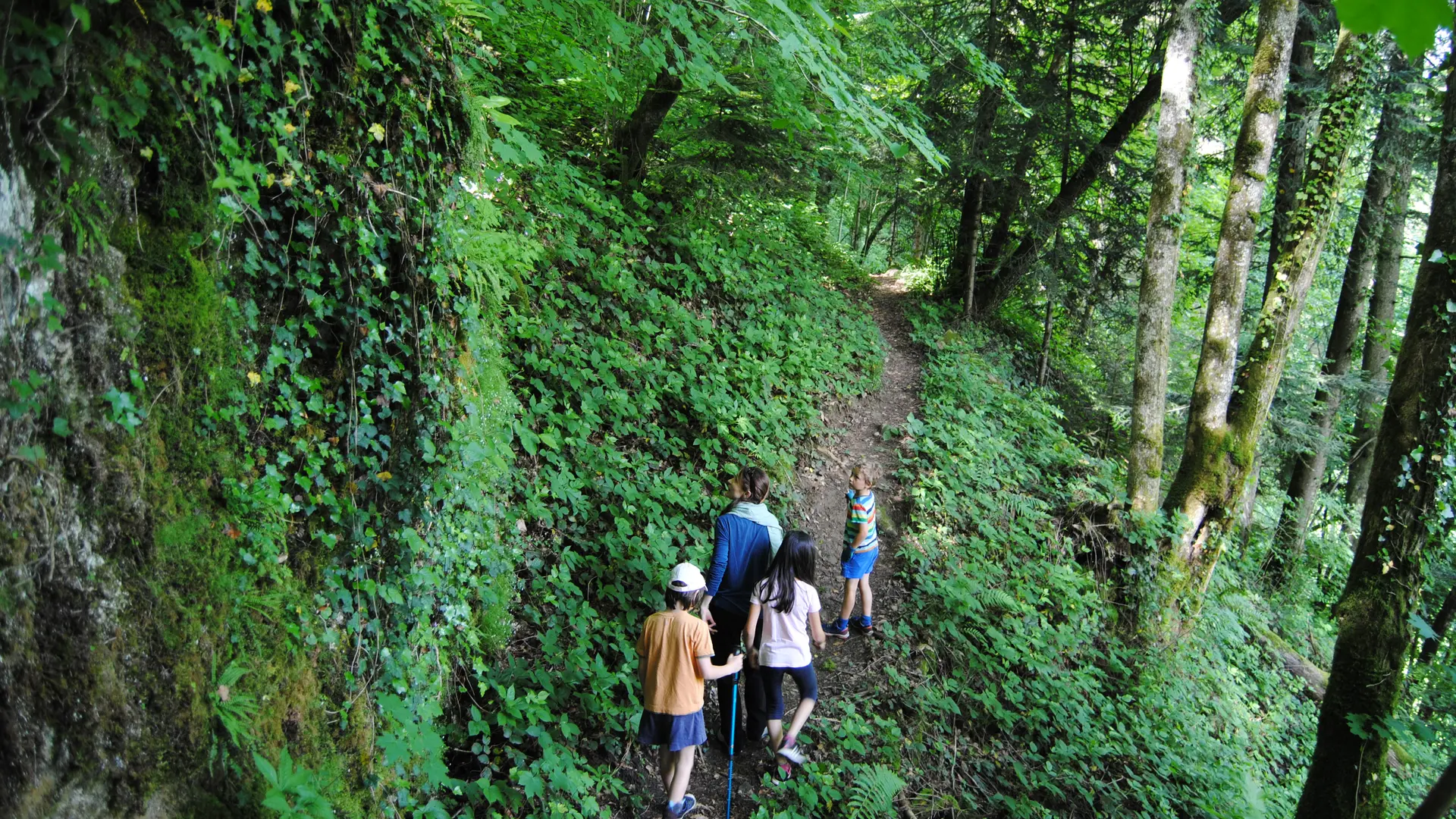
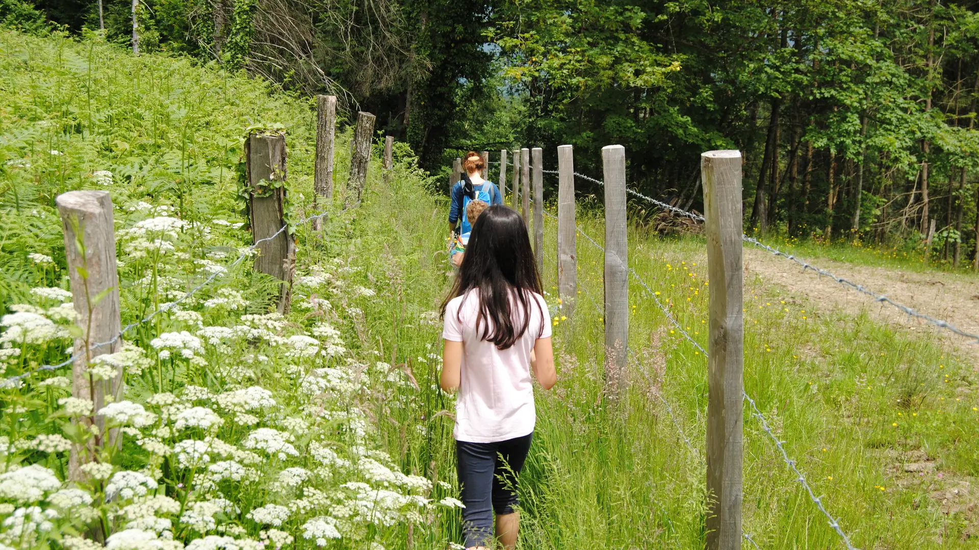
A bucolic and woodland route alternating through diverse natural environments, crossing small hamlets, and highlighting history, since the Charbonnières hill was once a place of resistance.
  • Guidebook with maps/step-by-step
    Starting point: Bagné parking lot on the edge of the D921 (Attignat-Oncin road).
Plain text period
All year round daily.

Services

Animals accepted

Audience

  • Minimum age (in years) : 5

Environment

  • In the country
  • Riverside
Updated on 25 September 2025 at 16:24
by Office de Tourisme Lac d'Aiguebelette
(Offer identifier : 5230425)
Report mistake
Filter search
Page types
  • All
  • Articles
  • Agenda
  • Lists