Les infos neiges sont fournies par Skiinfo.fr
Icare Assael
Hiver Chartreuse
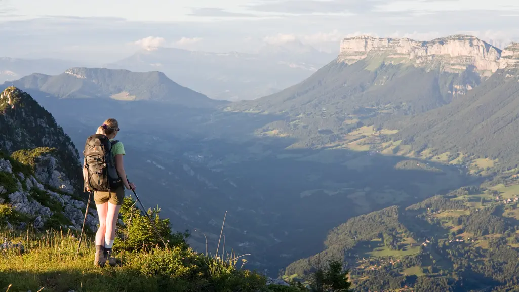
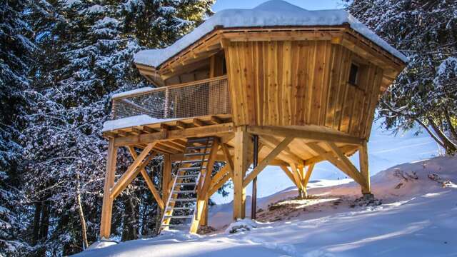
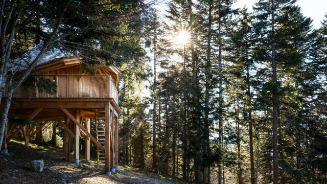
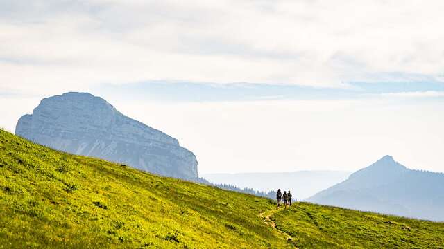
Randonnee Chartreuse Grande Sure
Bains Nordiques Chartreuse
Emeindras Du Dessus Sappey En Chartreuse
Pcheur la mouche sur le Guiers, St Pierre de Chartreuse
Vtt 56
Eglise et Art Sacr St Hugues de Chartreuse
Miel Apiculteur Chartreuse
Vol Parapente Chartreuse Hiver
Randoanes 09
Lac Aiguebelette
Villa ge d'Entremont le Vieux
Entremont le Vieux
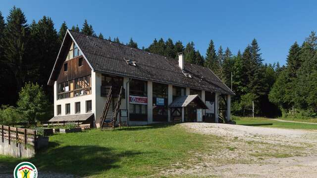
Restaurant 009
Wifi Chartreuse
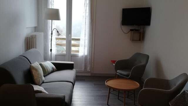
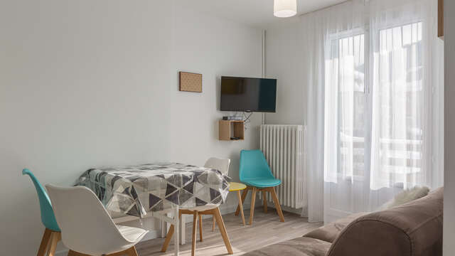
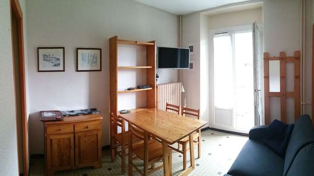
Default Img
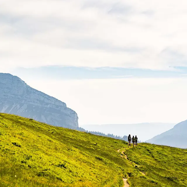
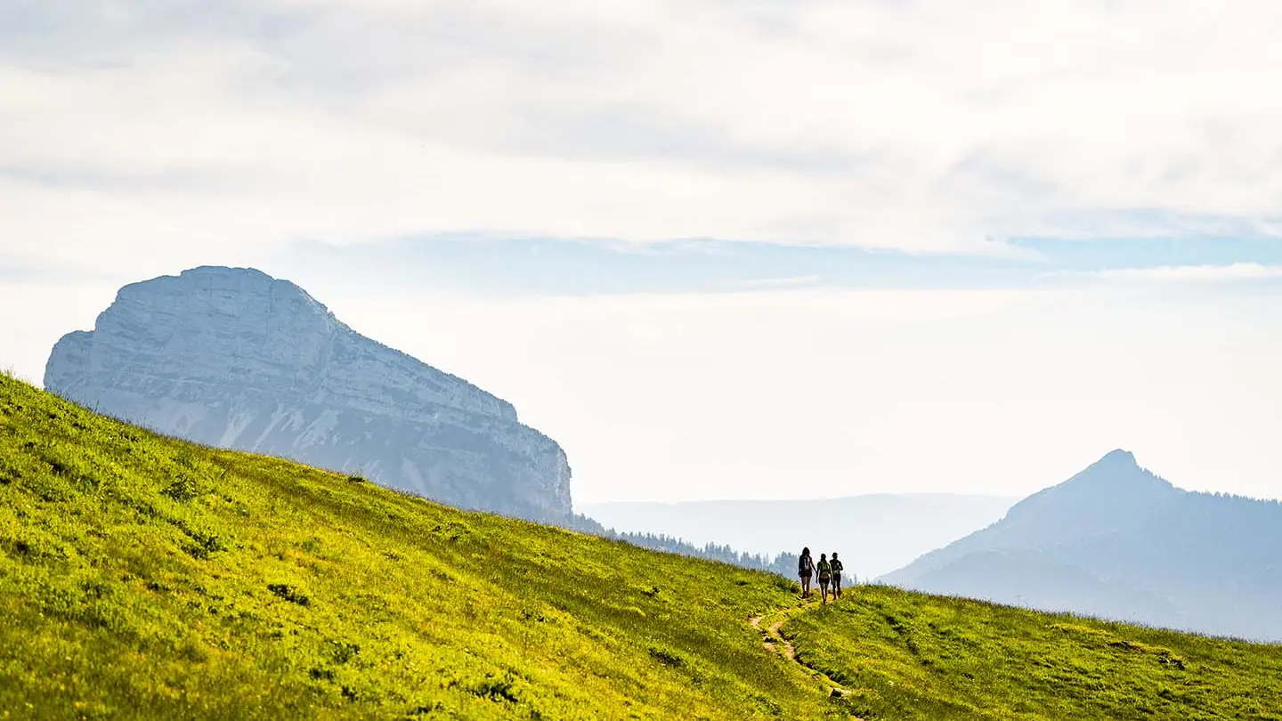
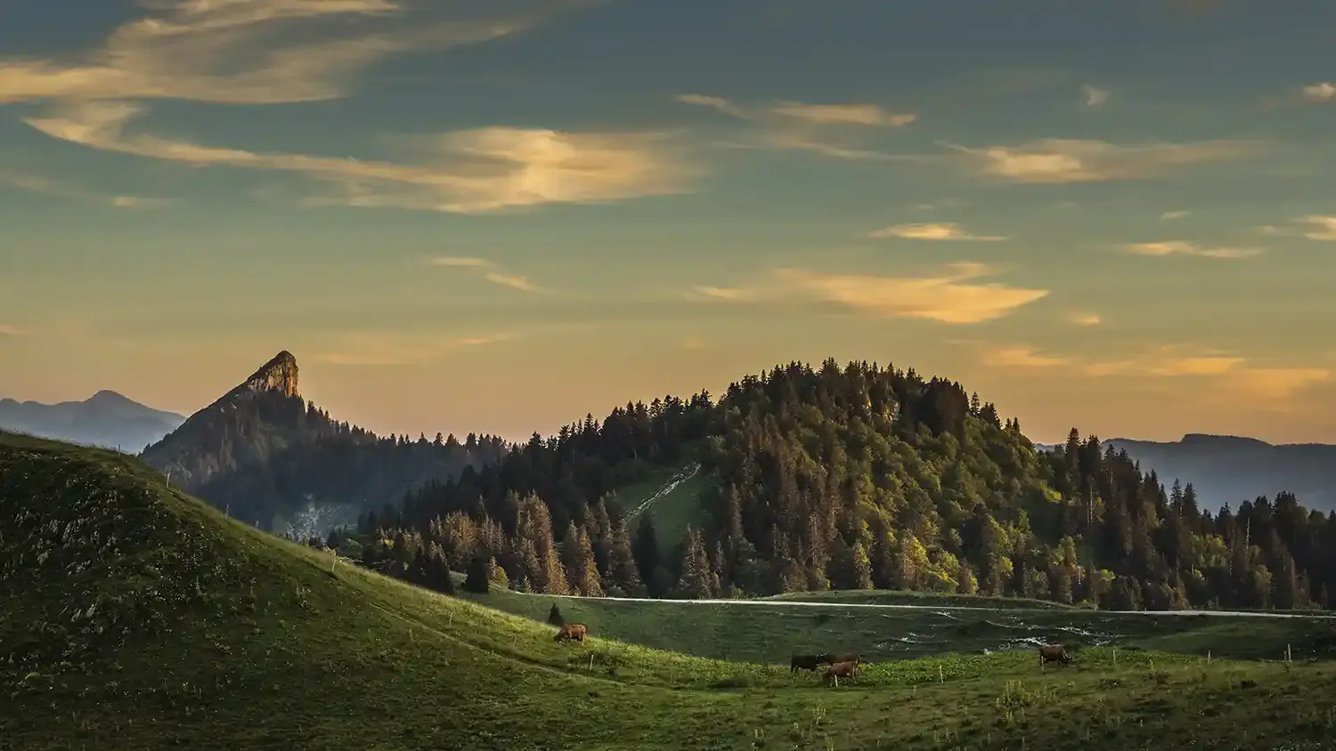
Randonneuse Au Grand Som, Vue Sur Le Granier
Ajouter aux favoris
B. Becker - AURAT
PNR Chartreuse
G. Courtois - Département 38
A. Doucé