Guidebook with maps/step-by-step
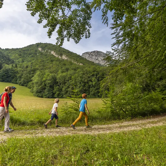
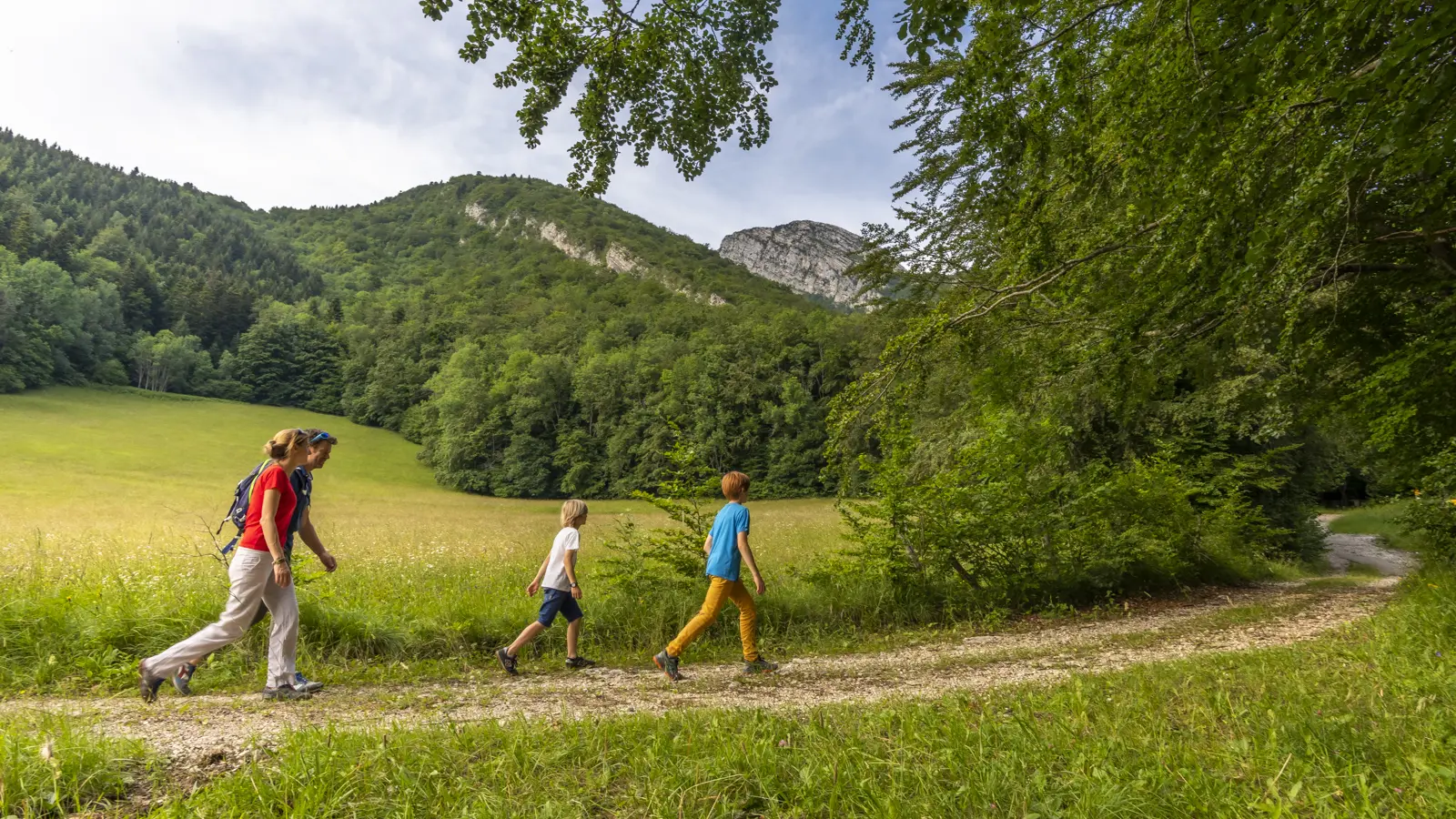
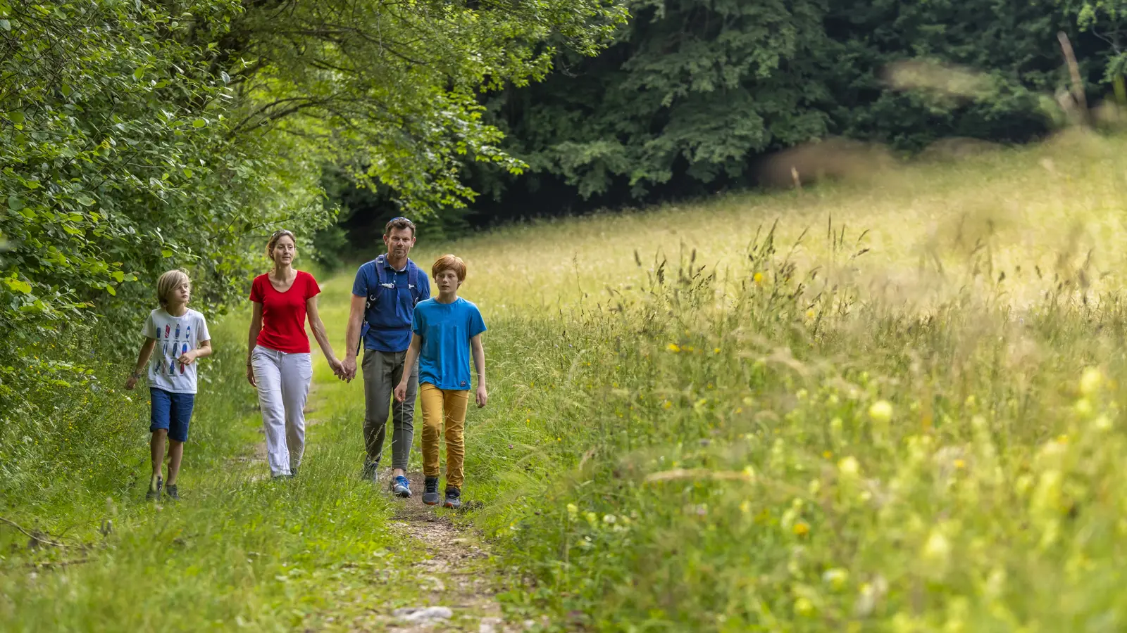
From Mont-Saint-Martin (alt. 740 m), walk 100 m up the road towards Collavière. Follow the yellow markings on this trail. At Collavière (alt. 745 m), turn right towards the day-care center and Namière, the "Chemin des Combes", still on asphalt. After two hairpin bends, continue along the road until you come to a barrier. Turn right onto the "chemin de Namière", heading for Les Combes via the "boucle du Sabot". Just after the first house in the hamlet of Namière, turn left to follow the track above this first house. Stay on the big track as it rises peacefully. It makes a sharp left-hand bend and continues northwards. Don't take the downhill path to the left on the straight, but continue to follow the yellow markings straight ahead. When you reach the meadows, don't follow the signs for the Dauphins mill, but take the slightly downhill track to the left. Another 100 m and you'll reach the Les Combes crossroads (alt. 920 m). Then fork right towards Côte Charvet, marked at 700 m and 25 minutes. After a steep climb, you arrive at côte Charvet (alt. 1,050 m), the high point of your hike.
Turn left towards Mont-Saint-Martin via Spain, to pass the foot of the côte Charvet (alt. 975 m), where you continue to the right. At the next junction, on Espagne (alt. 910 m), turn left towards Collavière.
You quickly lose altitude and, over cemented switchbacks, reach the asphalt road. Just turn left to get back to Collavière, then right to get back to the entrance to Mont-Saint-Martin.
Alternative: You can combine this hike with the one from Le Fontanil to Mont-Saint-Martin. You'll then cover 12.8 km, with an ascent of 850 m. (See topo "Du Fontanil à Mont-Saint-Martin").
Points of interest:
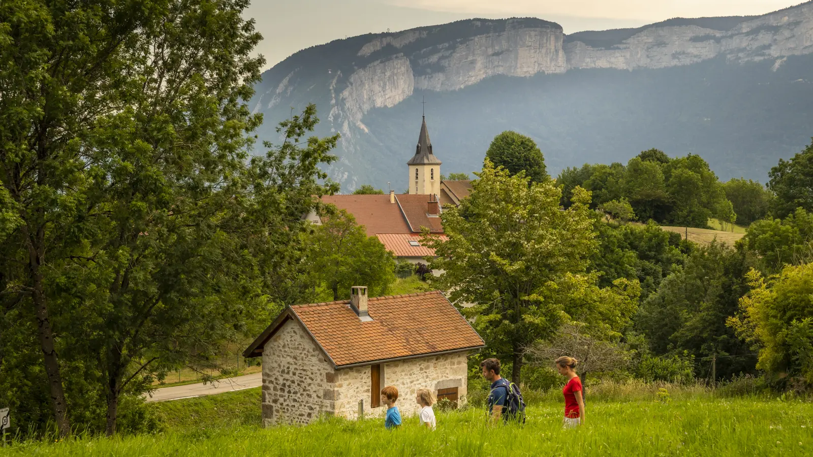
- The village of Mont-Saint-Martin
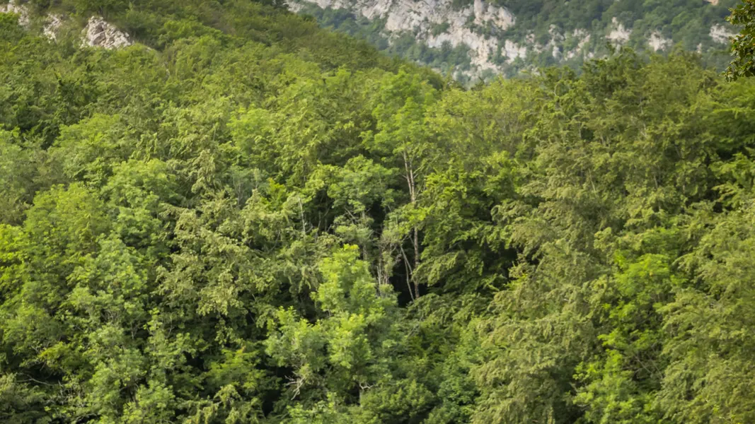
- Meadows
- The history of the mills
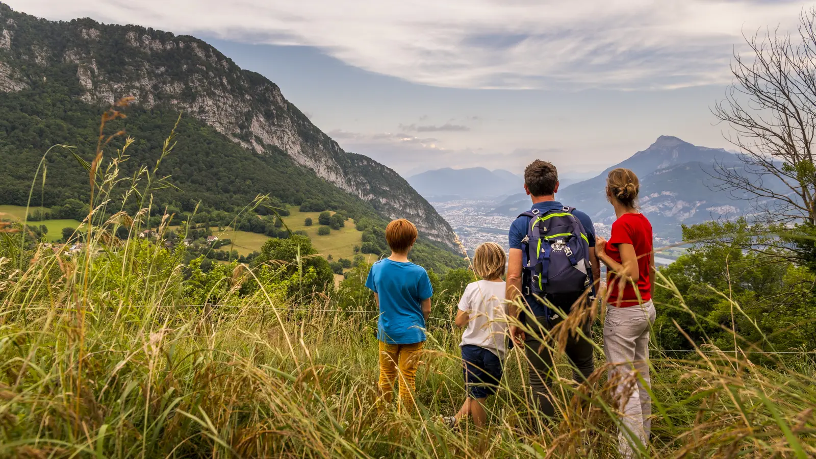
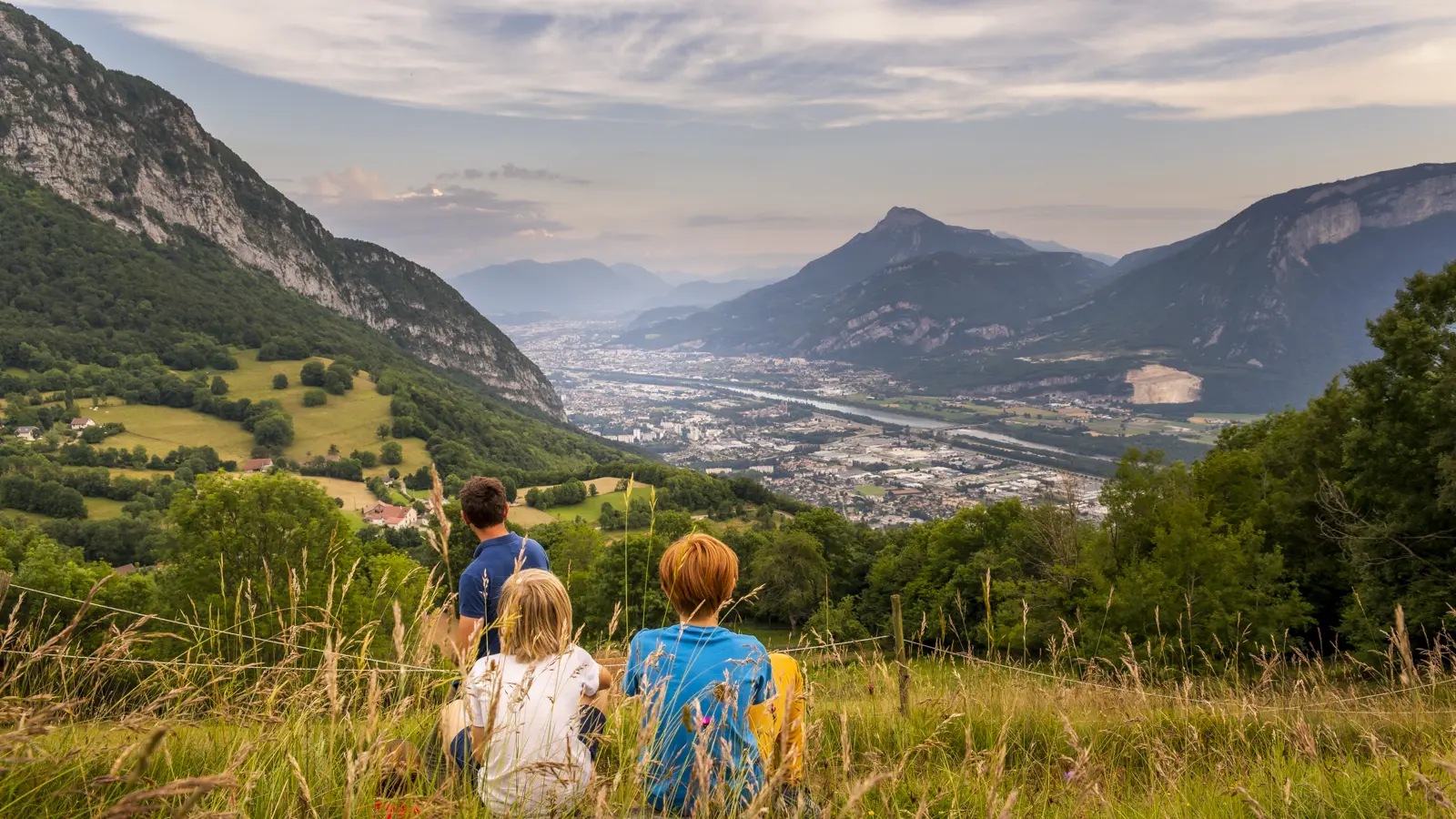
- View of Grenoble
- View of the Vercors
- The hamlet of Espagne