The balconies of Lake Aiguebelette

  • Sport
  • Pedestrian sports
  • Hiking itinerary
Elevation : 840m
73470 Nances

Description

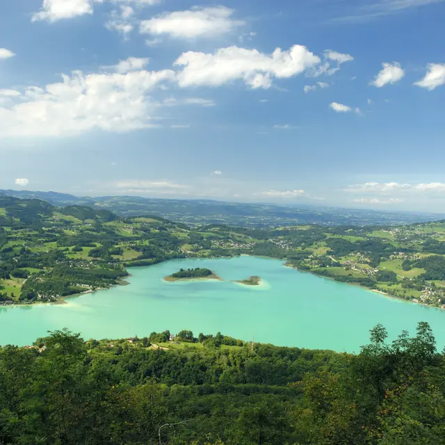
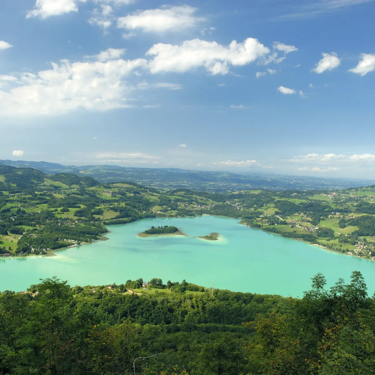
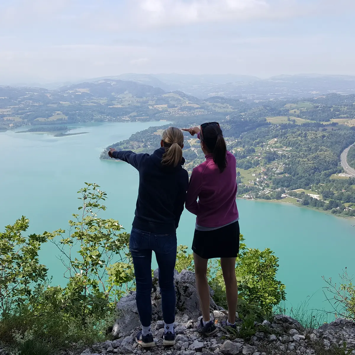
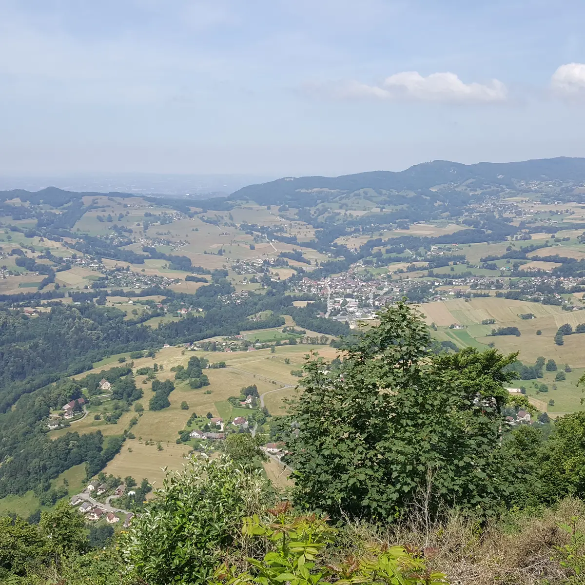
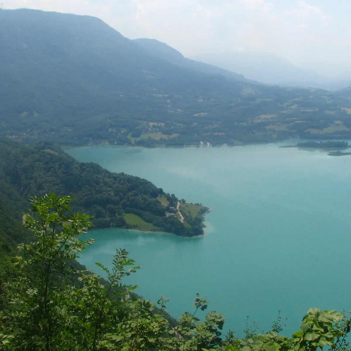
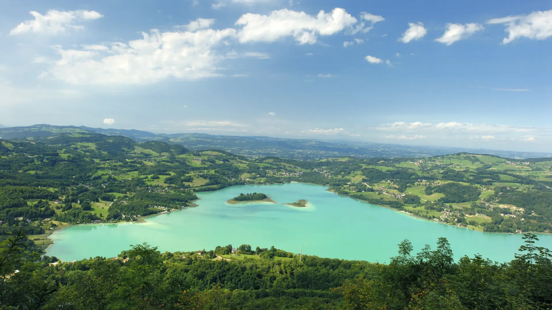
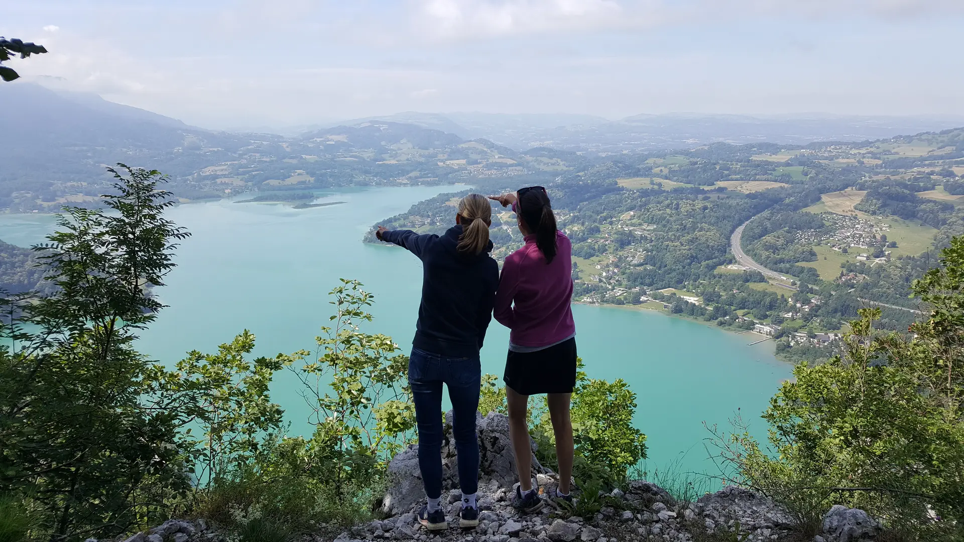
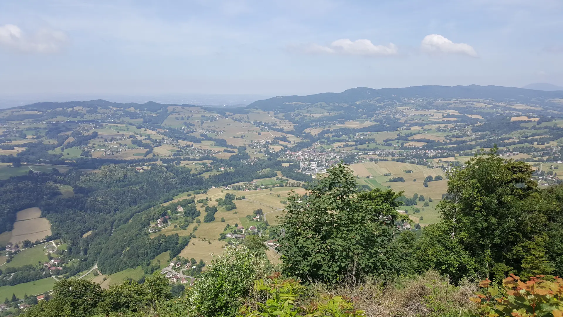
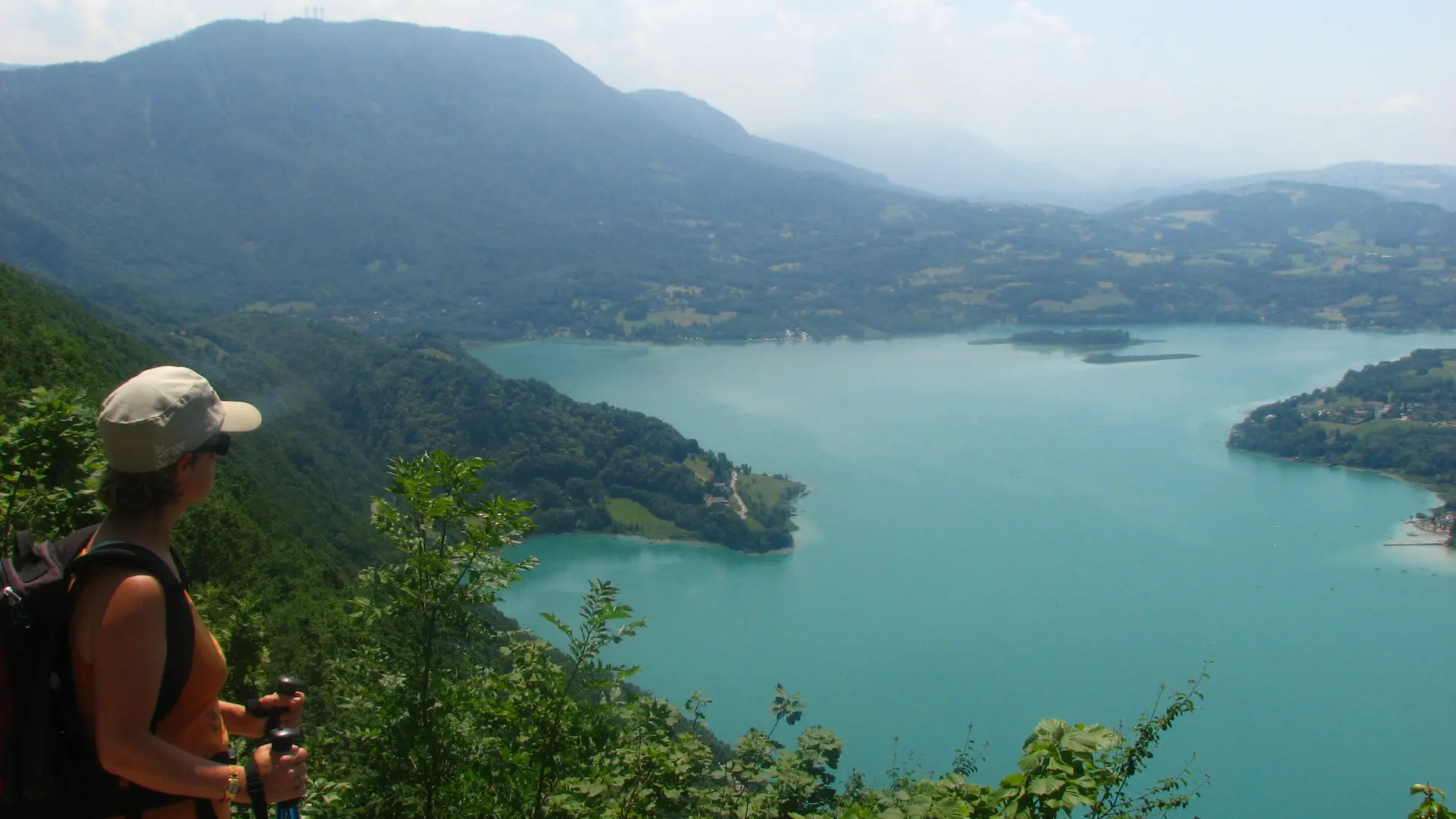
This airy route across the western flank of the Montagne de l'Epine overlooks France’s third largest natural lake, providing numerous vantage points from which to admire the 70 hectares of wetlands surrounding the lake.
The path you're following was laid out by the old charcoal makers who used to go into the forest to make charcoal. If you see large metal vats along the way, these are the remains of the old furnaces. Today, this activity has disappeared, and this pretty balcony path is no longer used by courageous workers, but by peaceful hikers! It crosses the Lac d'Aiguebelette regional nature reserve, and if the children are quiet and discreet enough, they may catch a glimpse of chamois, or even lynx! But in this case, you'll have to be very lucky, as lynxes are very shy and particularly difficult to observe... all the more so as they move around mainly at night, like the bats that also inhabit the area. The one that doesn't move from here and that you'll see every time is Lake Aiguebelette, basking at the foot of the mountain! Take time to contemplate it from the viewpoints. The trail has a steep, airy profile, so is not recommended for children or people prone to vertigo.
  • Guidebook with maps/step-by-step
    1/ From the Nances cemetery, climb gradually into the woods, following the yellow markers.
    2/ After a few minutes' walk, you can reach the Grotte de Conche on your left (steep path not recommended in wet weather).
    3/ After the grotto, the path becomes narrower and more difficult on the edge of the cliff. Beware of rocks (handrails and steps are provided on the narrow passages).
    4/ After an hour's climb, you reach a wider path called "Les Balcons du lac".
    5/ On the left, you'll find the "Belvedere du reposoir", which you can reach quickly, before turning around to continue south along the Balcons du Lac.
    6/ After the climb you've already made, follow the path through open forest, giving you occasional views of the lake.
    7/ At the end of the path, the trail narrows abruptly and turns into a treasure hunt (yellow markings) on outcropping rock. Head downhill to reach the sign for the logers.
    8/ After descending this path, you come to the hamlet of Gustins. From here, follow the road downhill for 400 m, then turn right onto the path at the bottom of the valley, which takes you to the shores of the lake and the "La Combe" headland.
    9/ Follow the green path along the lake to the marsh, where you'll head for the "Sources du Gua", then on to Nances, your starting point.
Plain text period
From 15/04 to 31/10 daily.

Services

Animals accepted

Environment

  • Mountain location
Updated on 24 September 2025 at 17:03
by Agence alpine des territoires
(Offer identifier : 121579)
Report mistake
Filter search
Page types
  • All
  • Articles
  • Agenda
  • Lists