Guidebook with maps/step-by-step
Start at the Plan d’eau de Saint-Joseph-de-Rivière and head towards the ponds. When you reach the middle of the first pond, turn right onto the paved "chemin de la tournerie." After a few meters, turn left to reach the stadium, where a water point is available.
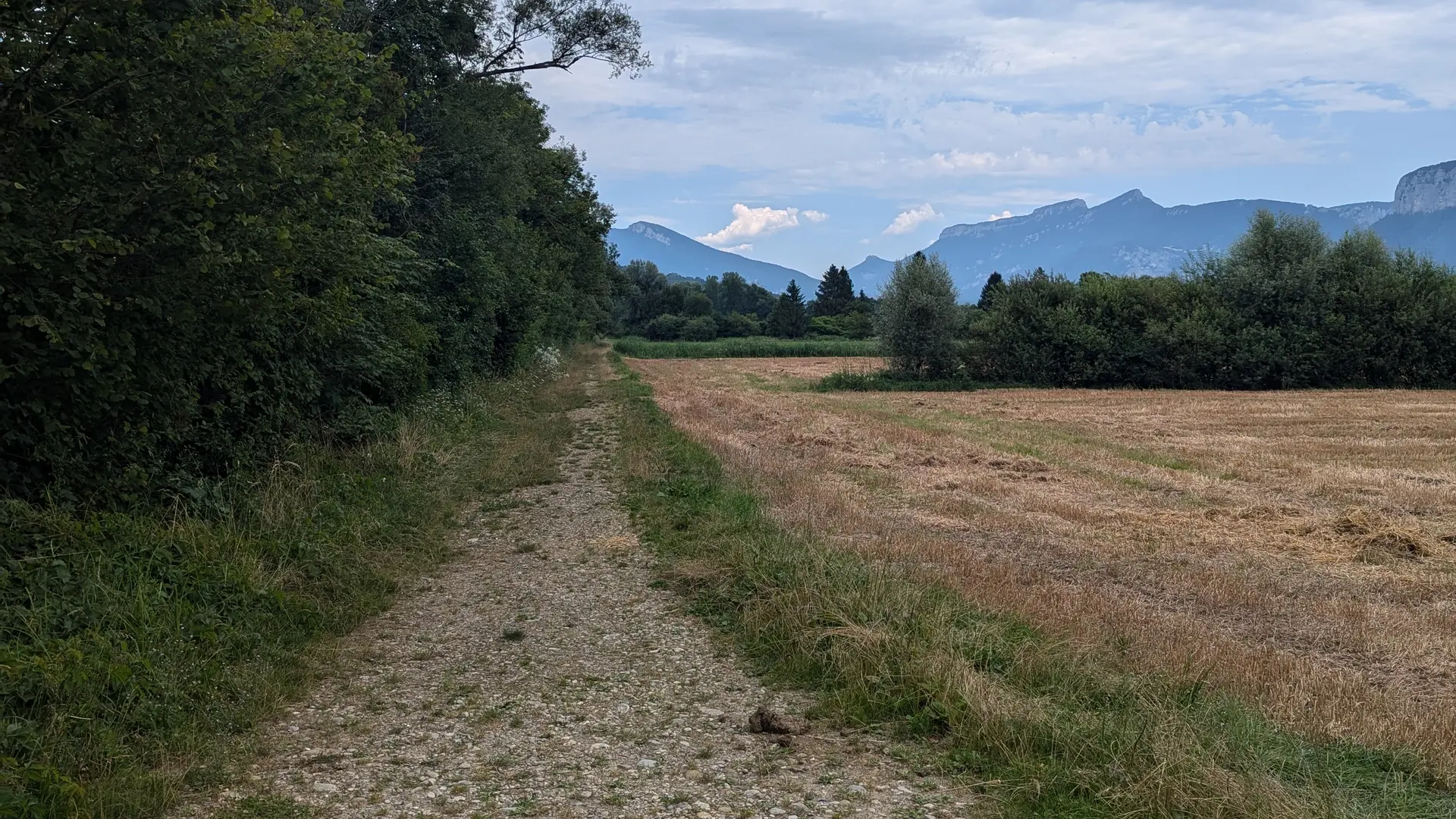
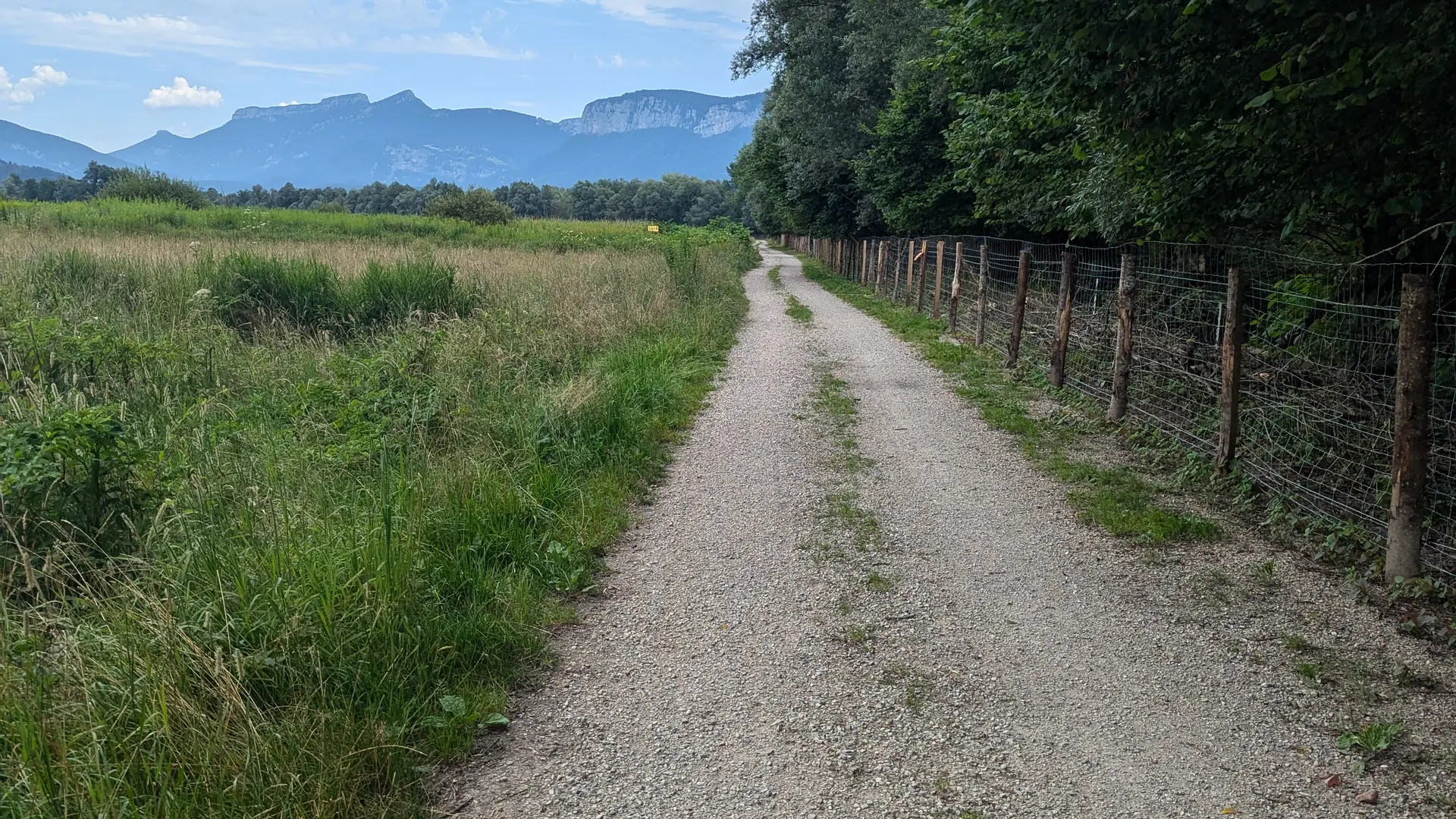
Exit the stadium through the green gate, then take two consecutive right turns to join the "Via Chartreuse" greenway. Follow the route along the Herretang canal, opposite the Herretang sensitive natural area, for about 5 km.
After passing the yellow "Grand Villette" sign, at the next intersection, cross the "route du Grenat" and switch to the other bank using the bridge. After the house, turn right to leave the Via Chartreuse. Follow the path to the "Pont de la Rosette" sign and keep right, heading along the Guiers river towards the "Stade Charles Boursier" signpost.
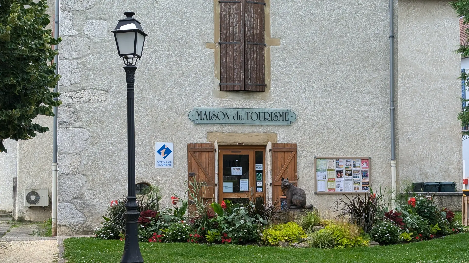
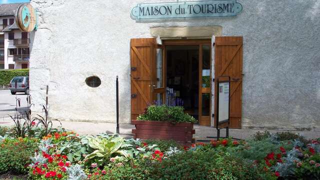
Continue along Avenue Charles de Gaulle. At the market square parking, turn right and pass the Tourist Office, where you can stop for information or to pump up your tires. A small repair kit is available. On Avenue Jules Ferry, near the post office, continue left onto Avenue Jean Jaurès, then quickly turn right before the water fountain.
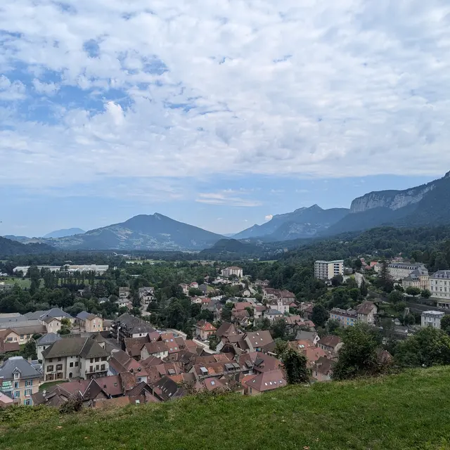
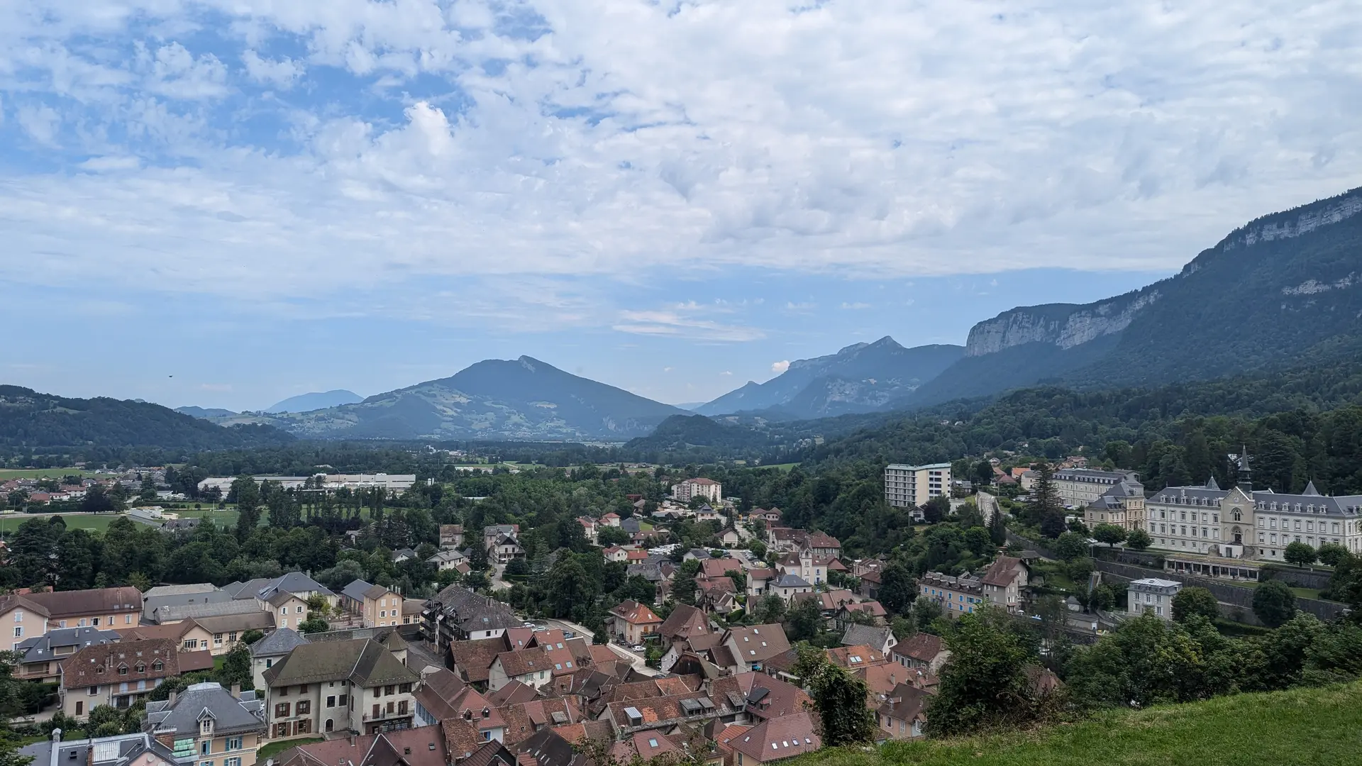
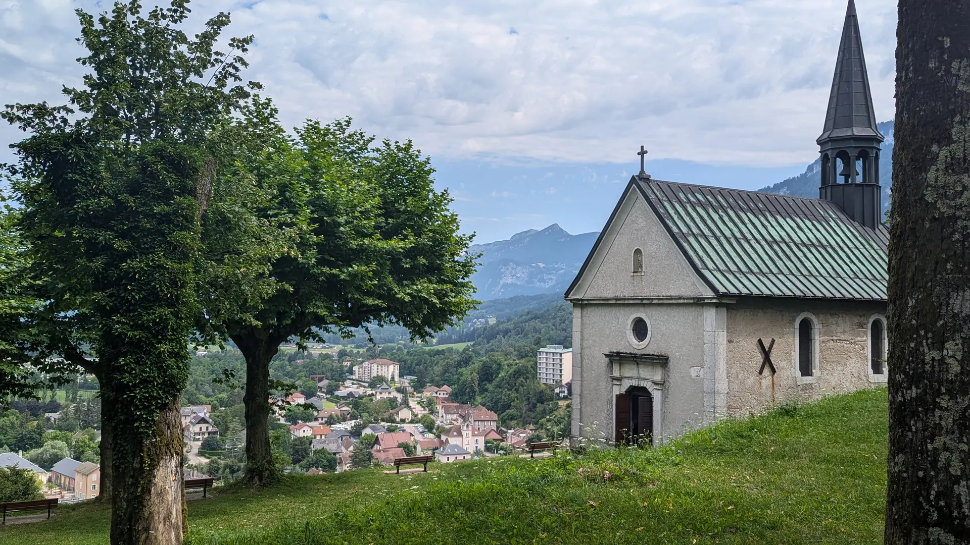
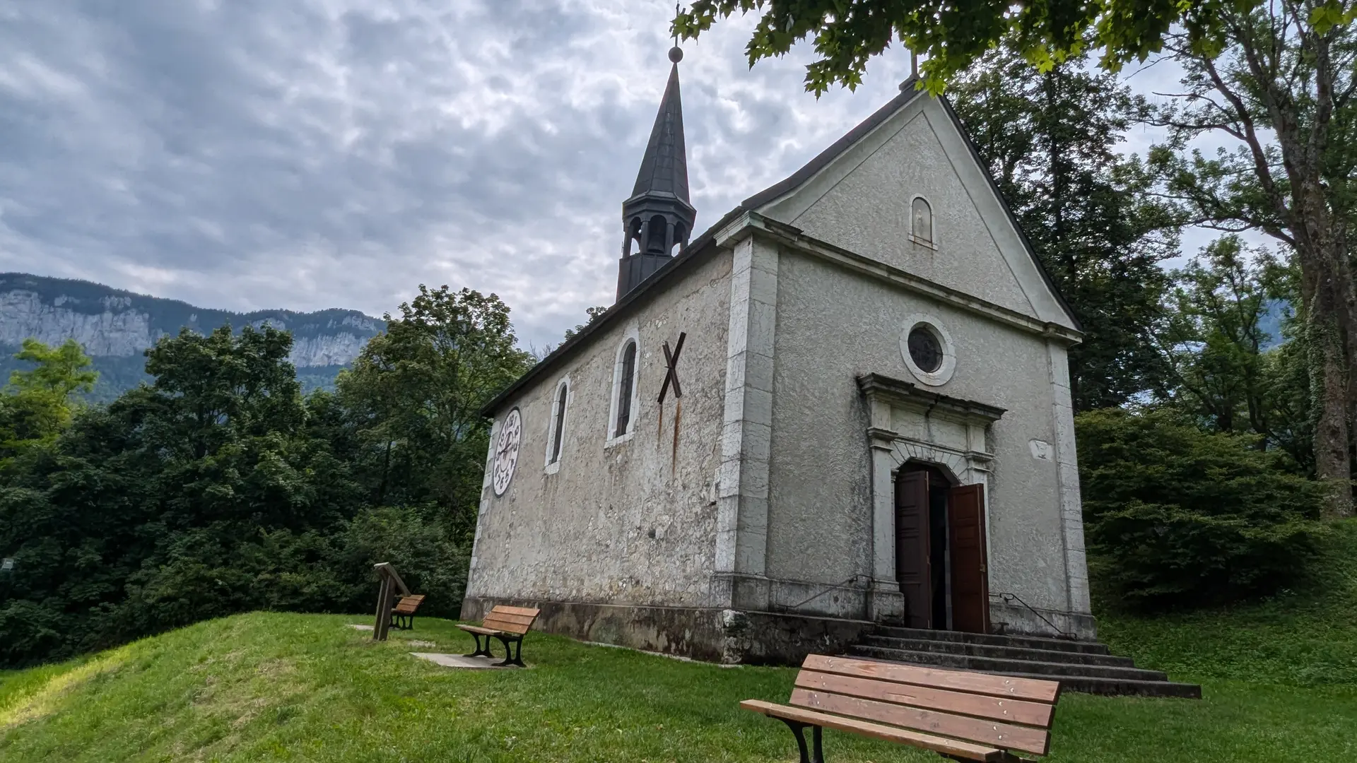
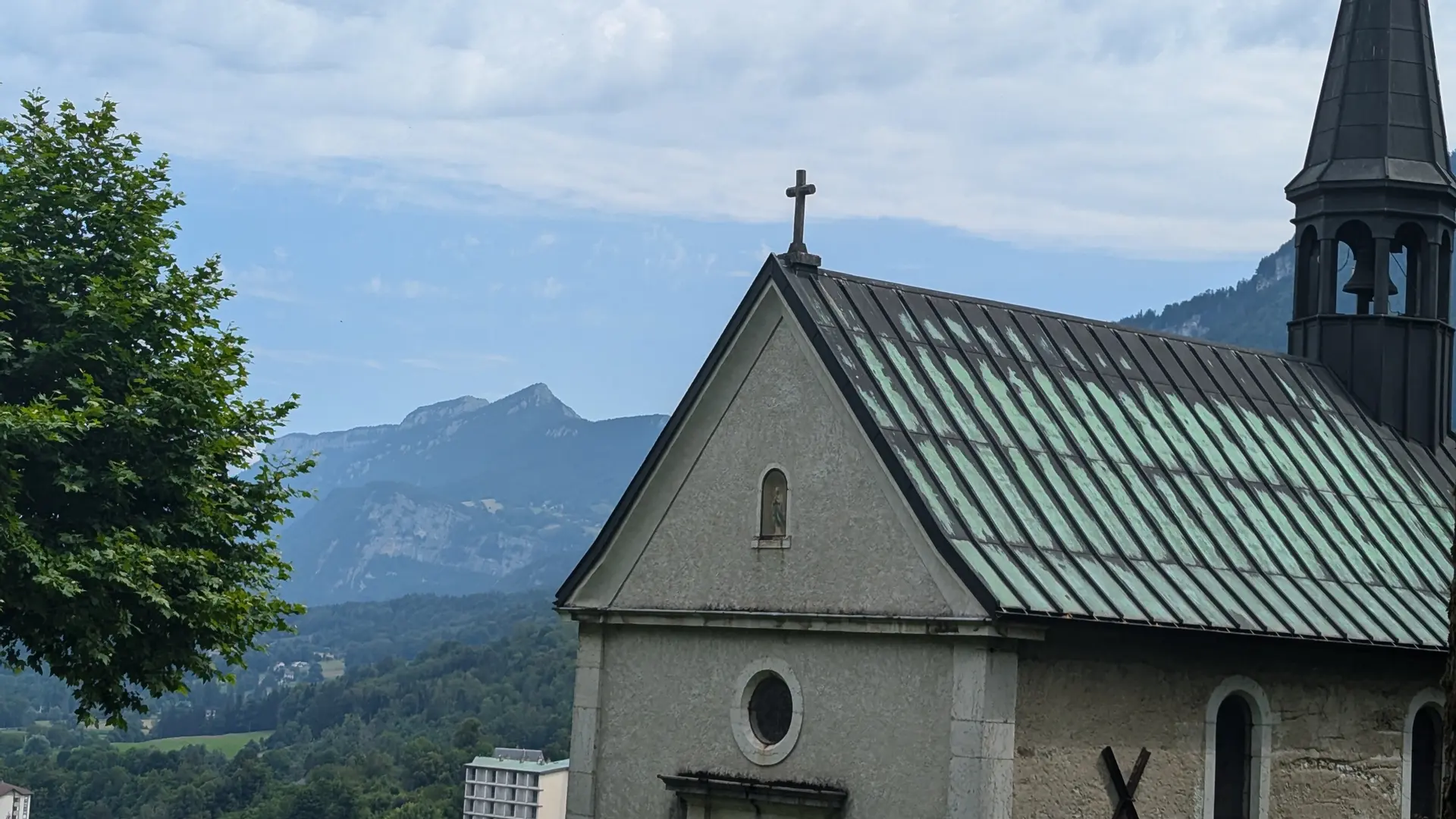
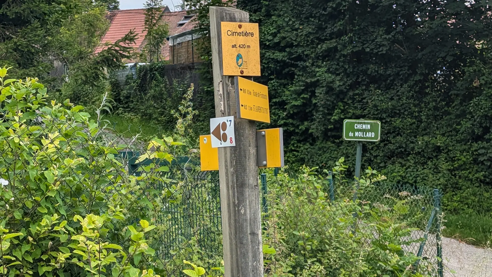
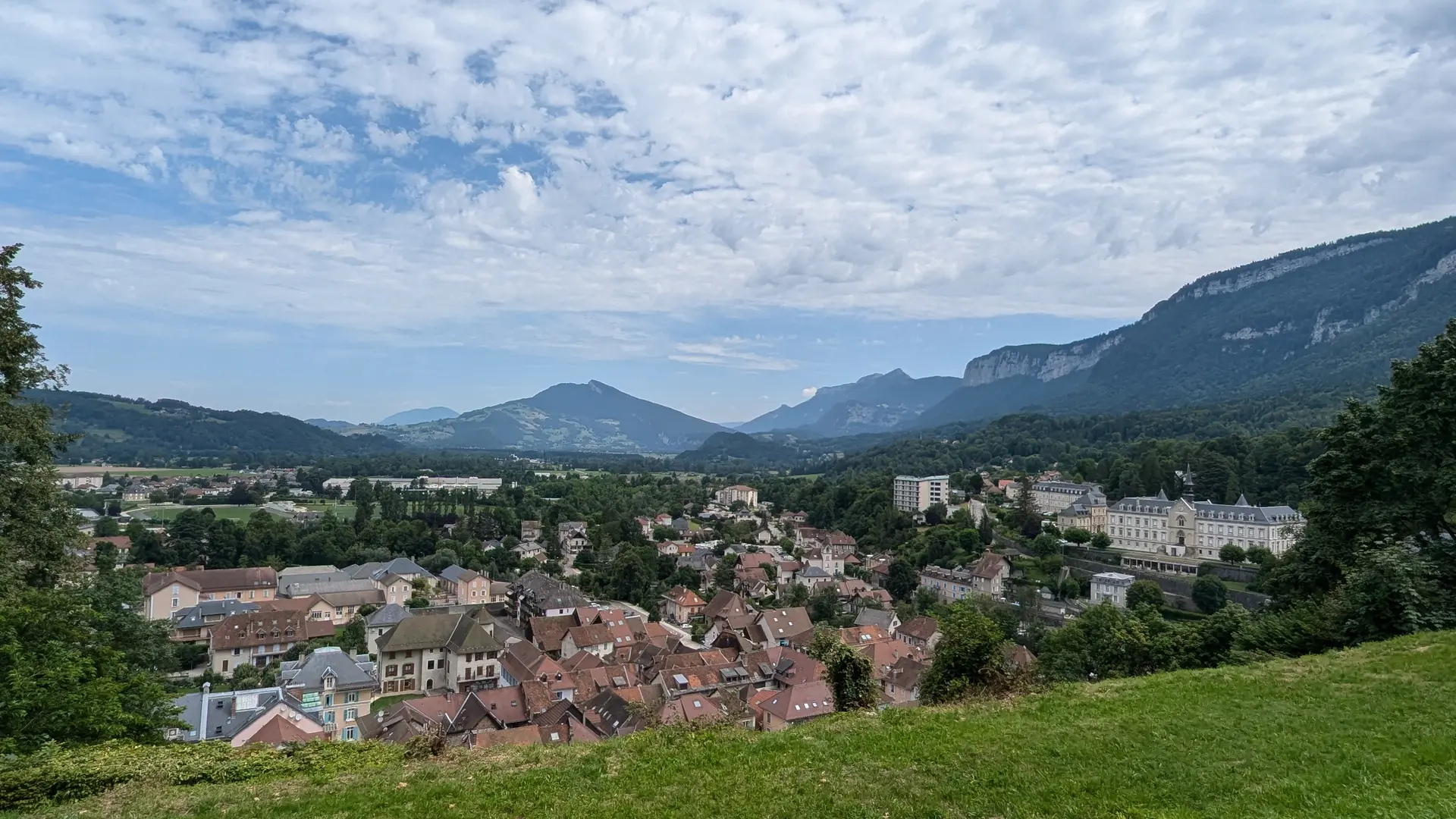
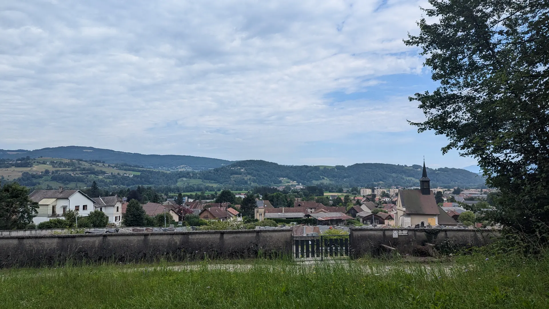
From here, prepare for a zigzag climb to the chapel Notre-Dame du Château, which offers a panoramic view of Saint Laurent du Pont and the valley. It is recommended to dismount your bike for this section. Follow the path, and at the "Route de Fontmartin" sign, the road descends to the right towards the cemetery parking. Turn left onto a paved path that turns into a trail.
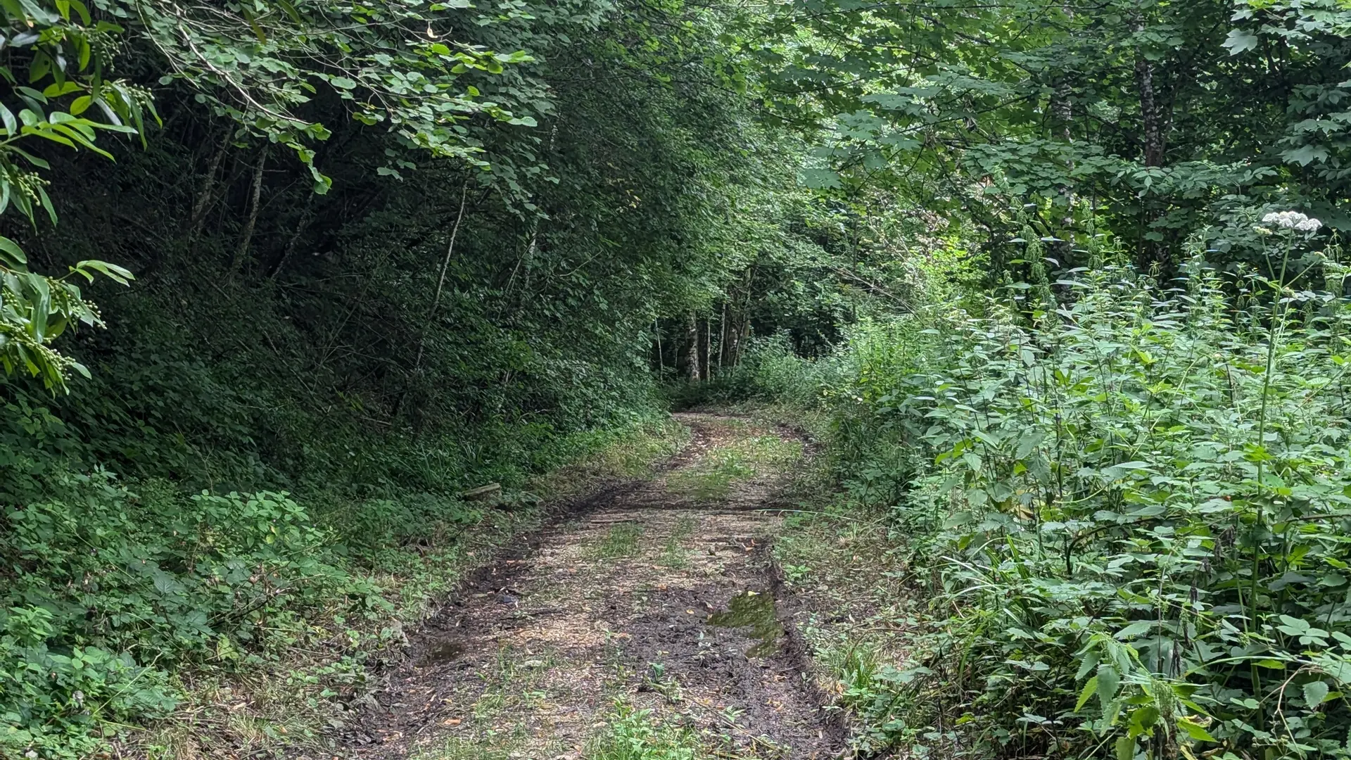
Upon reaching the road at the hamlet of Raviers, take the descending road to the right. Continue on the path to the left, beginning the final ascent to the "Le Morard" sign.
Follow the road towards the center of Saint-Joseph-de-Rivière. Cross the departmental road RD520, adhering to traffic rules. Before the washhouse, take the school road to the left, then turn right after the bridge onto the chemin de la tournerie. You will find the starting path on your left, leading back to the ponds.