
-
En live
1 - ski nordiqueMise à jour : 08 février 2025 - 12:54
- Col de Marcieu
- Col de Porte
- Le Désert d'Entremont
- Le Granier
- Le Sappey en Chartreuse
- St Hilaire du Touvet
- St Hugues / Les Egaux
- Le Planolet
WeatherTotal snow depth10cmSki lifts0/4Mise à jour : 08 février 2025 - 08:42 -
Book
online -
Shop
online

La Pointe du Frou
Sport, Winter sports, Snowshoe itinerary
in Saint-Christophe-sur-Guiers
4.1
km
-
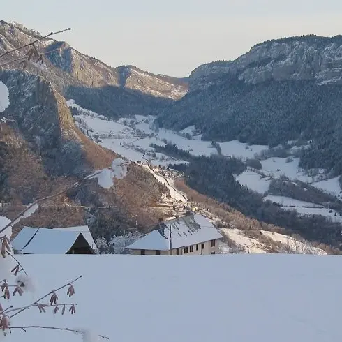
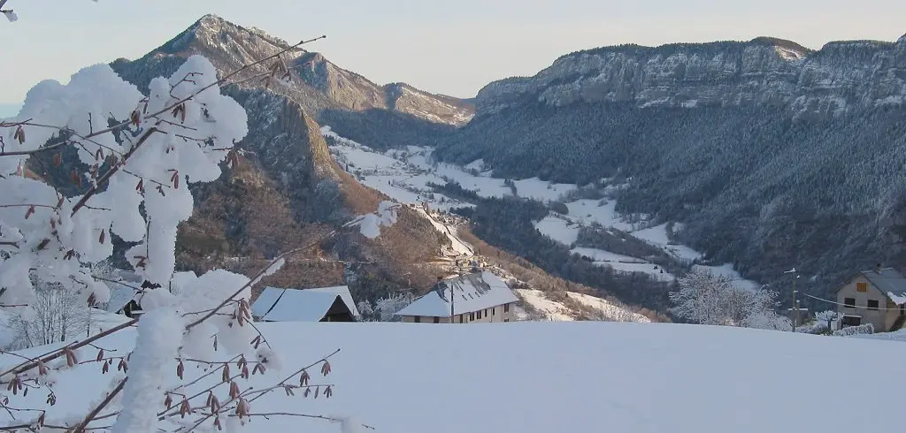
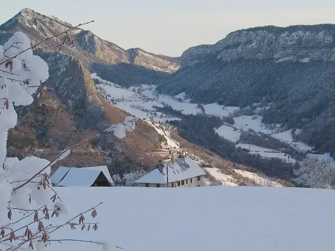
A short loop with the option of a round trip. Ideal for families, it offers a stroll through forests and meadows. The highlight: a breathtaking view of the Guiers valley from the pointe du Frou.
-
From the La Ruchère Nordic site, start your itinerary by taking the forest path to the right of the cross-country ski trail entrance. After a long descent, you'll make your way to the pointe du Frou (summer itinerary) and back, before taking the meadows back to the hostel. This entirely wooded route takes you to the pointe du Frou, where you can enjoy a spectacular panorama of the Guiers valley (take care around the cliff). On the way back, cross magnificent meadows offering breathtaking...
From the La Ruchère Nordic site, start your itinerary by taking the forest path to the right of the cross-country ski trail entrance. After a long descent, you'll make your way to the pointe du Frou (summer itinerary) and back, before taking the meadows back to the hostel. This entirely wooded route takes you to the pointe du Frou, where you can enjoy a spectacular panorama of the Guiers valley (take care around the cliff). On the way back, cross magnificent meadows offering breathtaking views of the Ruchère site.
- Departure
- Saint-Christophe-sur-Guiers
-
-
Difference in height
- 108.482 m
-
-
-
Plain text period
-
From 15/12 to 10/03.
Subject to favorable weather.
-
-
-
Environment
-
-
-
Spoken languages
-
-
-
Documentation
- GPX / KML files allow you to export the trail of your hike to your GPS (or other navigation tool)
-
- See all reviews
- 108 meters of difference in height
-
- Maximum altitude : 1191 m
- Minimum altitude : 1114 m
- Total positive elevation : 108 m
- Total negative elevation : -108 m
- Max positive elevation : 20 m
- Min positive elevation : -46 m
Services
-
-
Services
-