Guidebook with maps/step-by-step
Start from the church parking lot. Cross the road and at Sappey Eglise take the Rue de l'Eglise towards La Charmette.
Turn left towards the hamlet of Jaillières and continue towards Le Bruchet. Continue straight on towards Montjalat, Montjalat le Haut and Pied de Velouse. Continue straight on and start climbing towards Habert de Chamechaude.
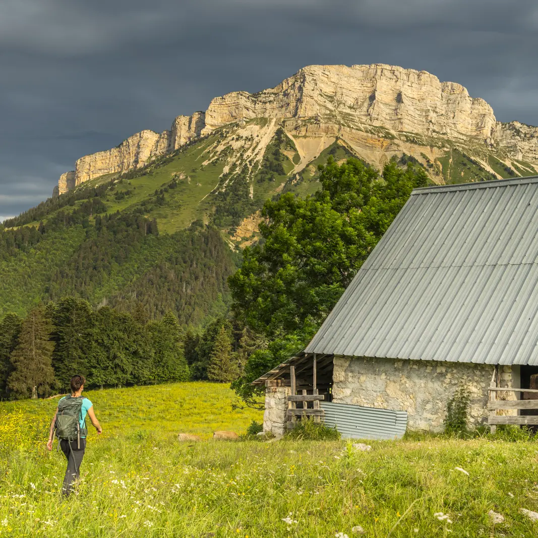
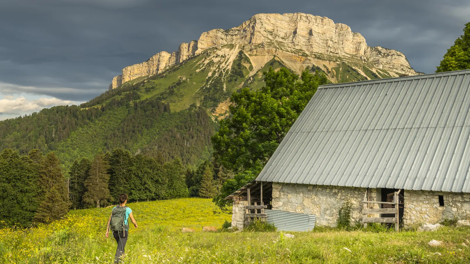
Pass the Habert and immediately turn right onto the path towards Col de L'Emeindras and L'Emeindras du Dessus. Then turn right along the edge of the meadow, leave the grazing area and follow the track back down to L'Emeindras du Dessous. Turn right towards Les Allières, where you'll need to be careful, and take the left-hand track all the way back down to the Ravin de Vence towards Les Combes. Then descend the track, continuing straight ahead at the foot of the Vallon des Emeindras and Combe Noire. At Les Combes, go straight on towards Croix du Rocher and turn right to return to Les Charmettes, then continue to Le Sappey Eglise.