See photos (4)

Défi Trail de la Bastille

Sport, Pedestrian sports, Trail route in Grenoble
2.1 km
  • Measure yourself against the laces of the Bastille climb! Go to Porte Saint Laurent to start your challenge and time your climb.

  • To participate and try to beat the record, simply download the Isère Outdoor application. Once you are near the starting point, don't forget to activate your bluethooth and to start your time by pressing GO.
    ATTENTION, to validate your time, it is necessary to follow the route !
  • Guidebook with maps/step-by-step
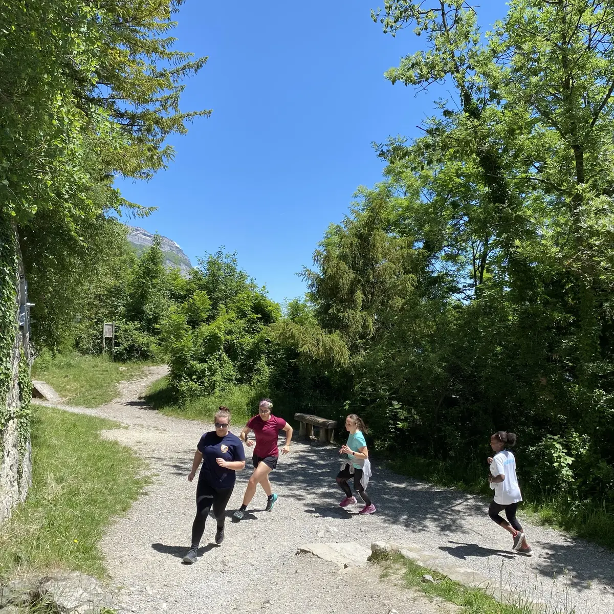
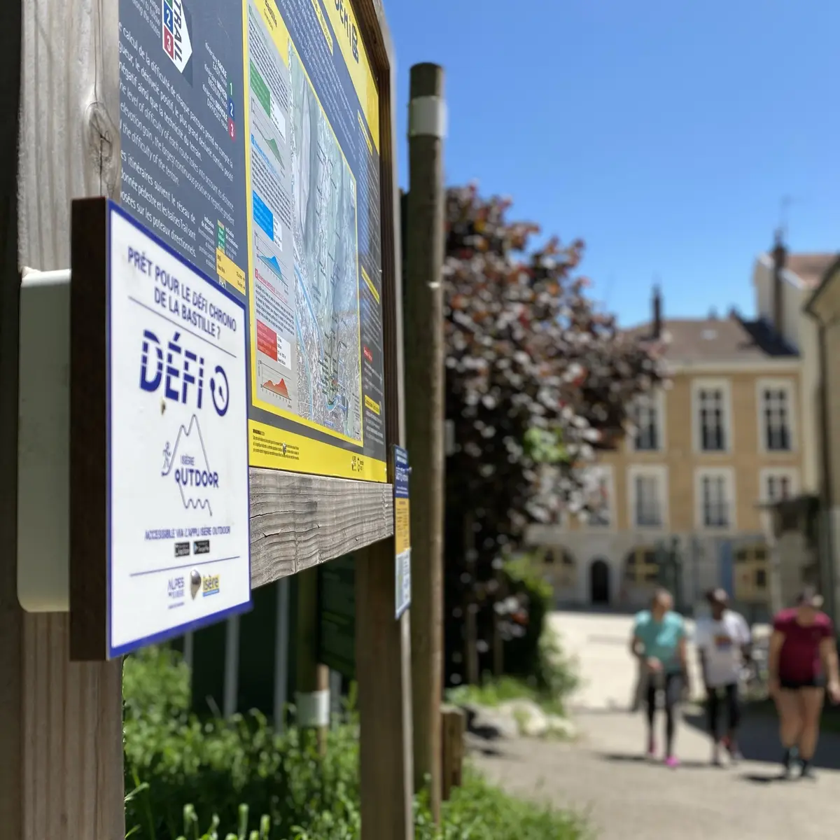
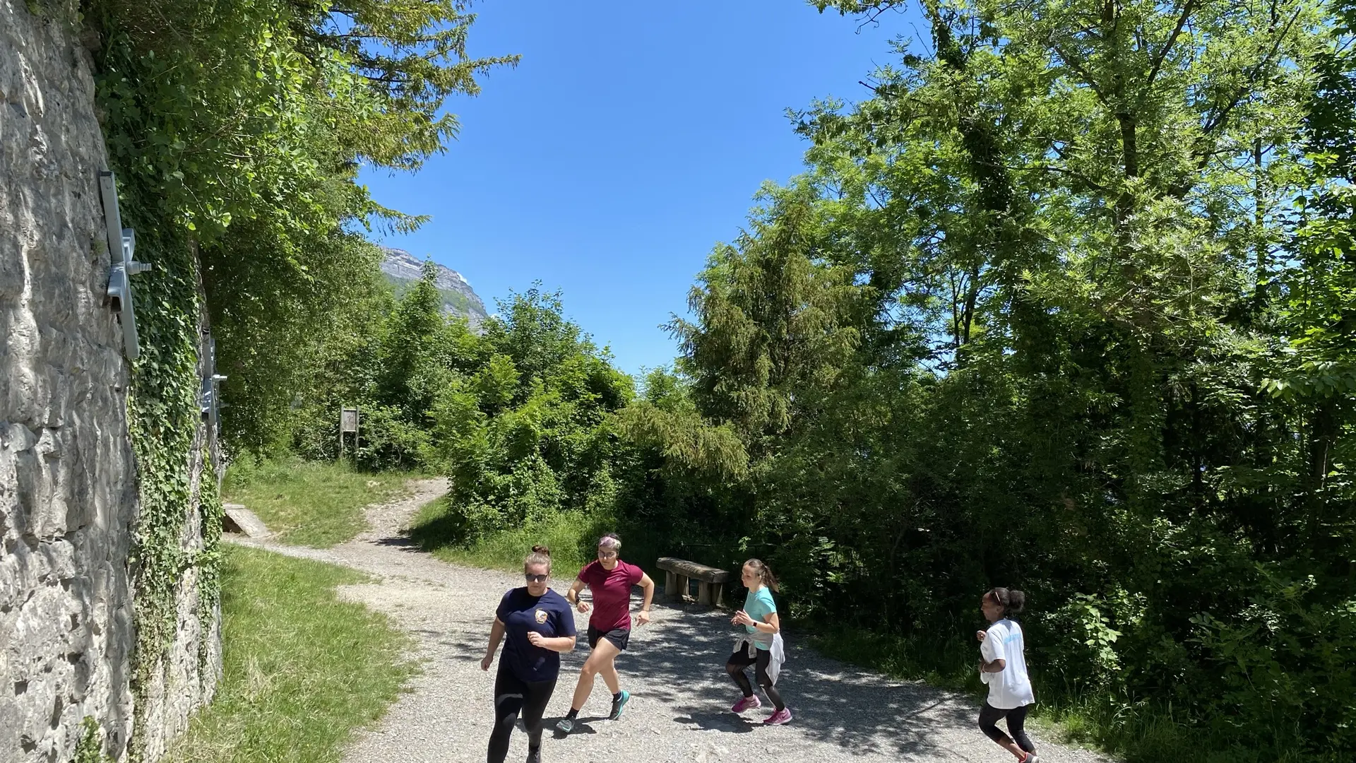
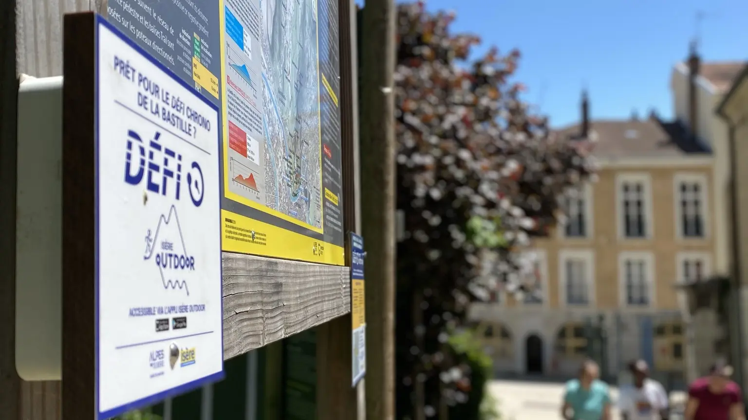
    To take part and try to beat the record, simply download the Isère Outdoor app. Once you're near the starting point, don't forget to activate your bluethooth and press GO to start your stopwatch.
    ATTENTION: to validate your stopwatch, you need to follow the route carefully!
  • Departure
    Grenoble
  • Difference in height
    249.667 m
  • Plain text period
    All year round.
  • Environment
    • Mountain view
    • Close to a public transportation
    • Bus stop < 500 m
  • Spoken languages
    • French
  • Documentation
    GPX / KML files allow you to export the trail of your hike to your GPS (or other navigation tool)
250 meters of difference in height
  • Maximum altitude : 459 m
  • Minimum altitude : 222 m
  • Total positive elevation : 250 m
  • Total negative elevation : -13 m
  • Max positive elevation : 83 m
  • Min positive elevation : -13 m