
- 
                                                                    
    
    En live
1 - ski nordiqueMise à jour : 25 février 2025 - 12:54
- Col de Marcieu
 - Col de Porte
 - Le Désert d'Entremont
 - Le Granier
 - Le Sappey en Chartreuse
 - St Hilaire du Touvet
 - St Hugues / Les Egaux
 - Le Planolet
 
WeatherTotal snow depthSki lifts0/4Mise à jour : 14 avril 2025 - 15:20 - 
                                                                    
                                                                                    
                                                                                                                            Book 
online - 
                                                                    
                                                                                    
                                                                                                                            Shop 
online 
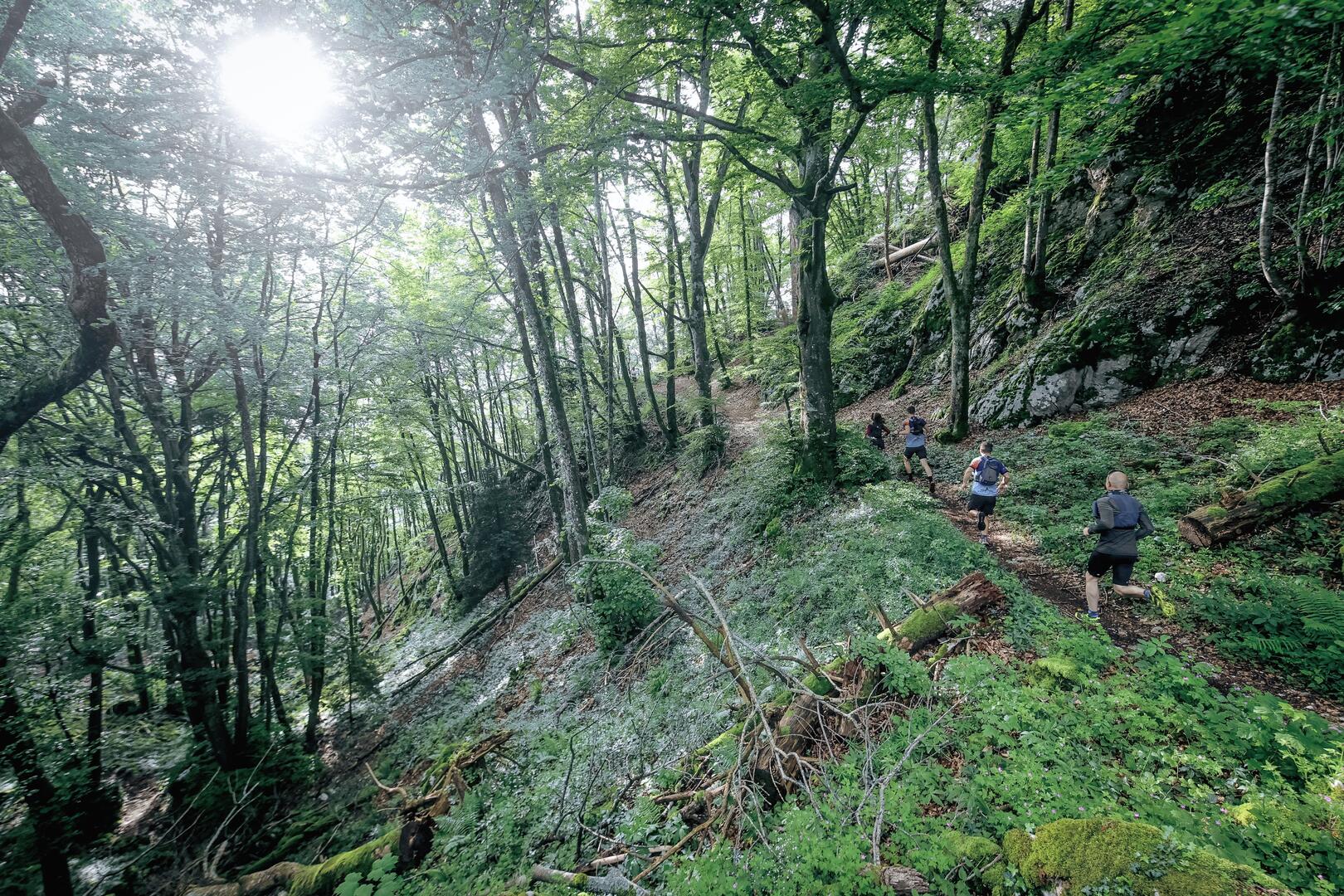
                            Circuit 9 - La grenouille agile


                    Pedestrian sports, Trail route                    
                
                                                    in Novalaise
                            
            10.2
                        km
                    
                - Departure
 - Novalaise
 
- 
    
- 
                                Difference in height
 - 301.333 m
 
 - 
                                
 - 
    
- 
                                Plain text period
 - All year round daily.
 
 - 
                                
 - 
    
- 
                                Spoken languages
 
 - 
                                
 - 
    
- 
                                Documentation
 - GPX / KML files allow you to export the trail of your hike to your GPS (or other navigation tool)
 
 - 
                                
 
- See all reviews
 
- 301 meters of difference in height
 - 
                
- Maximum altitude : 614 m
 - Minimum altitude : 428 m
 
- Total positive elevation : 301 m
 - Total negative elevation : -301 m
 - Max positive elevation : 111 m
 - Min positive elevation : -89 m


