Guidebook with maps/step-by-step
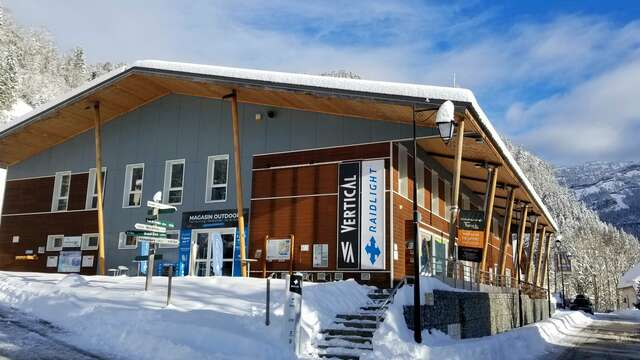
Starting in front of Raidlight, head toward the center of the village, then continue straight along the path between the fountain and the restaurant L’Auberge.
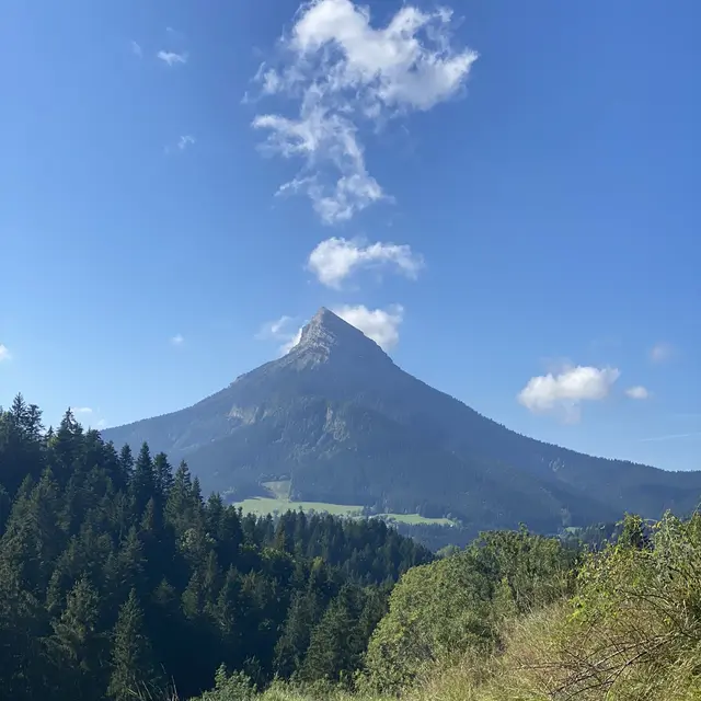
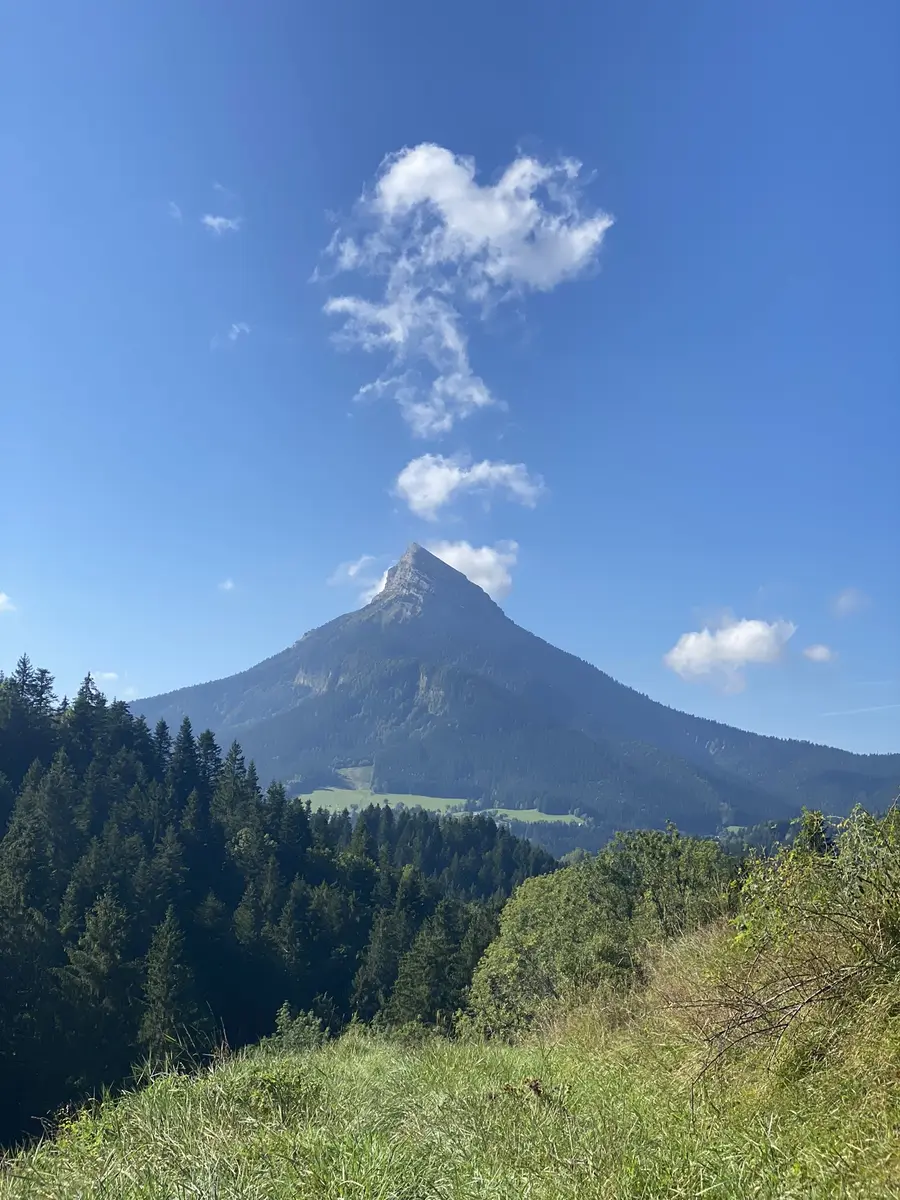
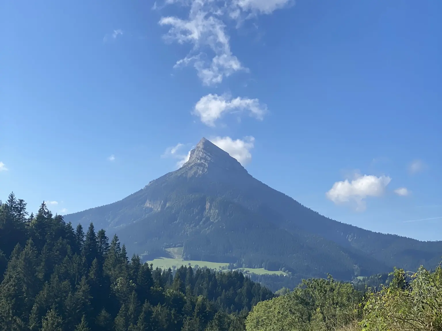
At the other end of this path, you’ll arrive at Plan de Ville square. Continue straight, passing between the two buildings in front of you. From there, take the Bois des Lièvres trail on the right for a narrow initial descent. Cross a footbridge over the Couzon River, then head left as the trail starts to climb. Continue along the same path, taking a moment to admire Chamechaude and Charmant Som to your left.
At the Patassière sign (where the trail rejoins the road), turn left onto a paved, descending section. At the bottom, the path continues on your right, crossing through a hedge and skirting around a traditional Carthusian barn. The end of this climb offers a beautiful view over La Diat below, a hamlet of Saint Pierre de Chartreuse and the starting point of the famous Chartreuse Terminorum race.
At the next junction, take the left onto a wide, low-difficulty track for an easy section.
At the bottom of this descent, a sharp left turn will take you onto a single track through the forest, which gradually widens before leading back to the main road. Turn left along the roadside, then cross at the junction to take the trail directly across from you.
At the next intersection, turn right along the road, following the signs that indicate the pedestrian crossing. Continue left along a relatively steep section. Cross the bridge on the main road, then take the path on your left just after the bridge. At the PDIPR Pont de la Laiterie post, continue toward the village. Skirt around the building in front of you on the left to reach the town hall square.