


Guidebook with maps/step-by-step
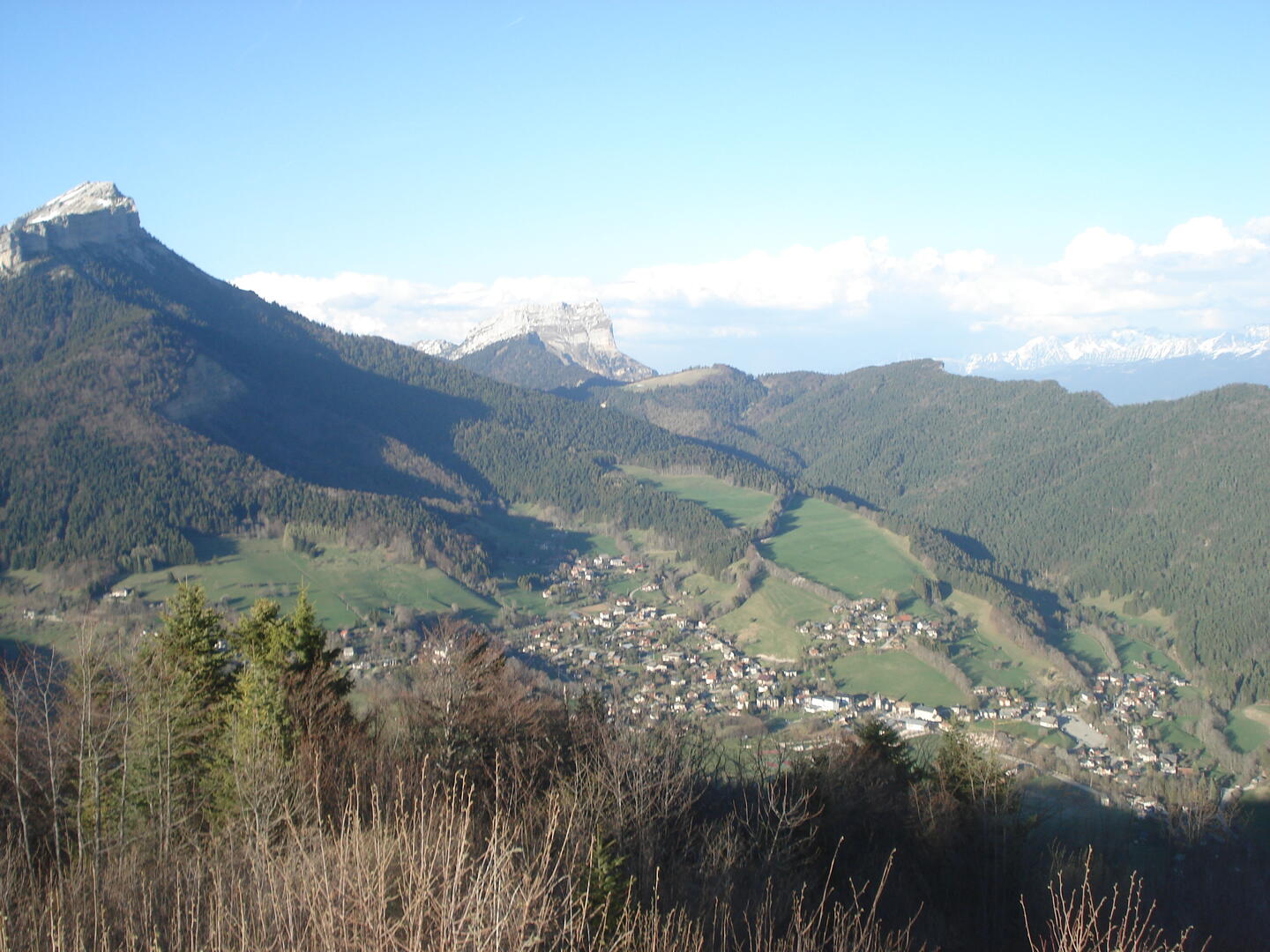
(1) Turn left over the square, following signs for the hamlet of BENS ("écurie du Sappey" indicated). (2) Continue along the Sagnes marsh, classified as a sensitive natural area. Once past the houses, the path crosses the embankment on the left, after the pond. It joins two houses, then continues to climb past the second. You then come to the hamlet
of Bens, where you'll find the riding school. Go straight on to the Col de Bens, then take the left-hand "Écoutoux" path (3). Climb to the summit and enjoy the 360° view, with Grenoble on one side and the Chartreuse massif on the other. Return by the same route.
Things to see and do nearby:
- Petits Jardiniers (10 km from the start): medicinal plant cultivation.
- Musée Arcabas en Chartreuse (13 km from the start): St Hugues church.
- Badiane Créations (14 km from the start): clothing creations.
- Musée de la Grande Chartreuse (15 km from the start): audio-guided tour.
For more information and other tour ideas, visit chartreuse-tourisme.com/rsf
Information / safety :
- to make the most of your walks and hikes in complete safety, it's a good idea to adopt a few rules and follow a few tips! Before setting off, follow our recommendations and advice on chartreuse-tourisme.com/conseils-rando-trail (or on request from tourist offices).
- A mountain leader is a specialist in mountain fauna and flora, off-trail hiking away from the crowds, local history, alpine and farming traditions, etc. in complete safety! Just ask! Detailed list on chartreuse-tourisme.com/accomp (or at tourist offices).
- You hike under your own responsibility. Chartreuse Tourisme and the tourist offices cannot be held responsible for the itineraries proposed.
Useful numbers :
- Meteo (please consult before setting off): 3250 or www.meteo.fr
- Mountain rescue: 112
