-
En live
WeatherTotal snow depth70cm10cm1 - ski nordiqueMise à jour : 09 mars 2026 - 17:52
- Col de Marcieu
- Col de Porte
- Le Désert d'Entremont
- Le Granier
- Le Sappey en Chartreuse
- St Hilaire du Touvet
- St Hugues / Les Egaux
- Le Planolet
WeatherTotal snow depth0cmSki lifts0/4Mise à jour : 02 mars 2026 - 13:30 -
Book
online -
Shop
online


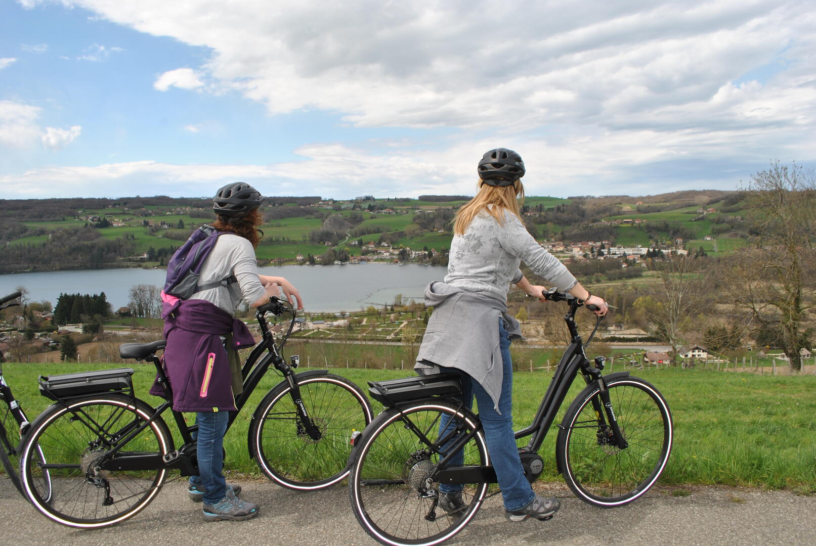
La Valdolac
Sport, Cycling sports, Routes for electrically assisted cycles
in Charavines
43.0
km
4h 30min
Hard
- Departure
- Charavines
-
-
Difference in height
- 838.576 m
-
-
-
Plain text period
- All year round.
-
-
-
Environment
-
-
-
Spoken languages
-
-
-
-
-
Documentation
- GPX / KML files allow you to export the trail of your hike to your GPS (or other navigation tool)
-
- See all reviews
- 839 meters of difference in height
-
- Maximum altitude : 654 m
- Minimum altitude : 407 m
- Total positive elevation : 839 m
- Total negative elevation : -839 m
- Max positive elevation : 165 m
- Min positive elevation : -106 m
Services
-
-
Equipment
-
