


![Saint Hilaire funicular [Currently closed]](https://api.cloudly.space/resize/cropratioresize/460/345/60/aHR0cHM6Ly9zdGF0aWMuYXBpZGFlLXRvdXJpc21lLmNvbS9maWxlc3RvcmUvb2JqZXRzLXRvdXJpc3RpcXVlcy9pbWFnZXMvMzgvNDAvMTY0ODY3OC5qcGc=/image.jpg "Saint Hilaire funicular [Currently closed]")
-
En live
WeatherTotal snow depth70cm10cmSlopes1 - ski nordiqueMise à jour : 09 mars 2026 - 17:52
- Col de Marcieu
- Col de Porte
- Le Désert d'Entremont
- Le Granier
- Le Sappey en Chartreuse
- St Hilaire du Touvet
- St Hugues / Les Egaux
- Le Planolet
WeatherTotal snow depth0cmSlopesSki lifts0/4Mise à jour : 02 mars 2026 - 13:30 -
Book
online -
Shop
online
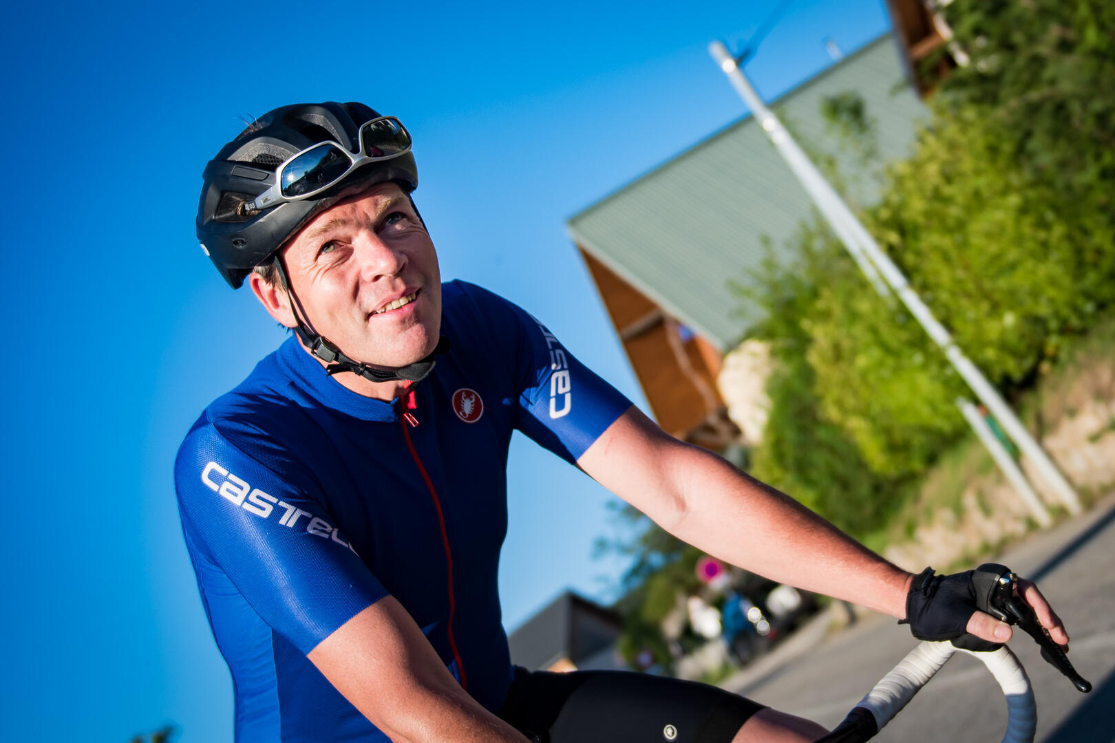
From Chartreuse to Belledonne
Sport, Cycling sports, Cycle tourism route
in La Terrasse
178.7
km
5h 30min
Very difficult
-
This is a route for climbers. The Col de Marcieu offers access to the beauty and tranquillity of the Chartreuse. There will then be 2 passes on the agenda, Barioz and les Ayes.
- Departure
- La Terrasse
-
-
Difference in height
- 4207.62 m
-
-
-
Plain text period
-
All year round.
Subject to favorable weather.
-
-
-
Spoken languages
-
-
-
-
-
Documentation
- GPX / KML files allow you to export the trail of your hike to your GPS (or other navigation tool)
-
- See all reviews
- 4208 meters of difference in height
-
- Maximum altitude : 1072 m
- Minimum altitude : 233 m
- Total positive elevation : 4208 m
- Total negative elevation : -4213 m
- Max positive elevation : 693 m
- Min positive elevation : -673 m


