En live
×
Ski nordique
Ski alpin
Le Désert d'Entremont
Domaine de Chamechaude
La Ruchère
Col de Marcieu
Webcams
See the webcams
Weather
0°C
Total snow depth
0
cm
0
/
11
0/72km
0
/
4
0
/
2
0
/
1
Bulletin neige complet
Nordique - la cluse
0/4
Slopes
Slopes
0/4
Piste bleue
Les pres
6 km
Closed
Piste bleue
Piste de liaison
1 km
Closed
Piste rouge
La pointiere
7 km
Closed
Eterlou
4 km
Closed
Nordique - le mollard
0/7
Slopes
Slopes
0/7
Piste bleue
Les plaines
3 km
Closed
Piste bleue
Les marots
3 km
Closed
Piste rouge
Outheran
8 km
Closed
Piste noire
Montfred
15 km
Closed
ChevÊchette
2 km
Closed
Ourson
Closed
Pipistrelle
1 km
Closed
Mise à jour : 24 mars 2026 - 11:10
Webcams
See the webcams
5
/
21
20/197km
1
/
4
1
/
9
1
/
2
Bulletin neige complet
Col de porte
5/7
Slopes
Slopes
5/7
Piste bleue
Bouquetin
3 km
Opened
Piste rouge
La bêcherie
9 km
Closed
Piste rouge
Liaison col de porte - st hugues
8 km
Closed
Piste rouge
Chamois
5 km
Opened
Piste noire
Route du charmant som
6 km
Opened
Lièvre
1 km
Opened
Lynx
1 km
Opened
Sappey en chartreuse
0/7
Slopes
Slopes
0/7
Piste bleue
Les combes
4 km
Closed
Piste bleue
Saint eynard
9 km
Closed
Piste rouge
Sire mouton
6 km
Closed
Piste rouge
Emeindras du dessus
8 km
Closed
Piste noire
Pale de fer
9 km
Closed
Planibert
2 km
Closed
Les sagnes
2 km
Closed
St hugues en chartreuse
0/7
Slopes
Slopes
0/7
Piste bleue
Cherlieu
6 km
Closed
Piste rouge
Le buissonnet
9 km
Closed
Piste rouge
Liaison st hugues - l'emeindras
16 km
Closed
Piste rouge
Liaison st hugues - col de porte
7 km
Closed
Piste rouge
La perelle
10 km
Closed
Le vivier
2 km
Closed
Stade de neige
1 km
Closed
Mise à jour : 26 mars 2026 - 15:55
Weather
6°C
Total snow depth
70
cm
10
cm
0
/
4
0/68km
0
/
1
0
/
2
0
/
1
1 - ski nordique
Slopes
0/4
Piste bleue
Piste bleue - prairie des riondettes
5 km
Closed
Piste rouge
Piste rouge
8 km
Closed
Piste rouge
Piste jaune
7 km
Closed
Piste noire
Piste noire - prairie d'arpison
15 km
Closed
Mise à jour : 09 mars 2026 - 17:52
Webcams
See the webcams
Weather
0°C
Total snow depth
20
cm
0
/
4
0/28km
0
/
1
0
/
1
0
/
1
Col de marcieu
Slopes
0/4
Piste bleue
Piste de la chapelle
3 km
Closed
Piste rouge
Liaison col de marcieu - st hilaire
13 km
Closed
Piste noire
Piste de la combe
5 km
Closed
Piste d'initiation
1 km
Closed
Mise à jour : 07 mai 2024 - 15:45
Col de Marcieu
Col de Porte
Le Désert d'Entremont
Le Granier
Le Sappey en Chartreuse
St Hilaire du Touvet
St Hugues / Les Egaux
Le Planolet
Webcams
See the webcams
0
/
6
Ski lifts
0
/6
Bulletin neige complet
Col de marcieu
0/6
Slopes
0/6
Ski lifts
Slopes
0/6
Ski lifts
0/6
Mise à jour : 25 mars 2026 - 12:34
Webcams
See the webcams
Weather
-3°C
Total snow depth
0
cm
0
/
3
Ski lifts
0
/3
Bulletin neige complet
Mise à jour : 17 mars 2026 - 15:49
Webcams
See the webcams
0
/
5
Ski lifts
0
/3
Bulletin neige complet
Mise à jour : 16 mars 2026 - 07:42
Webcams
See the webcams
0
/
4
Ski lifts
0
/4
Bulletin neige complet
Mise à jour : 20 mars 2026 - 03:46
Webcams
See the webcams
0
/
6
Ski lifts
0
/5
Bulletin neige complet
Mise à jour : 18 mars 2026 - 02:53
Webcams
See the webcams
Weather
1.4°C
Total snow depth
0
cm
0
/
10
Ski lifts
0
/5
Bulletin neige complet
Mise à jour : 04 mars 2026 - 16:24
Weather
-1.5°C
Total snow depth
0
cm
0
/
4
Ski lifts
0
/4
Bulletin neige complet
Mise à jour : 02 mars 2026 - 13:30
Webcams
See the webcams
Weather
-2°C
Total snow depth
0
cm
0
/
7
Ski lifts
0
/5
Bulletin neige complet
Mise à jour : 13 mars 2026 - 08:13
Les infos neiges sont fournies par Skiinfo.fr
Book
online
Shop
online
Voir les favoris
Rechercher
en
Official website of the Chartreuse in Savoie and Isère, in the heart of the Rhone Alpes: accommodation and ski holidays, hiking
The destinations
Get inspired
To see / to do
Icare Assael
©
Icare Assael
Agenda
Hiver Chartreuse
©
Hiver Chartreuse
Snow activities
Randonnee Chartreuse Grande Sure
©
Randonnee Chartreuse Grande Sure
Nature walks
Bains Nordiques Chartreuse
©
Bains Nordiques Chartreuse
Well-being and relaxation
Emeindras Du Dessus Sappey En Chartreuse
©
Emeindras Du Dessus Sappey En Chartreuse
Experience nature
Pcheur la mouche sur le Guiers, St Pierre de Chartreuse
©
Pcheur la mouche sur le Guiers, St Pierre de Chartreuse
Fishing
Vtt 56
©
Vtt 56
VTT & Cyclo
Eglise et Art Sacr St Hugues de Chartreuse
©
Eglise et Art Sacr St Hugues de Chartreuse
Immerse yourself in the heritage
Miel Apiculteur Chartreuse
©
Miel Apiculteur Chartreuse
Meet producers and craftsmen
Vol Parapente Chartreuse Hiver
©
Vol Parapente Chartreuse Hiver
Fill up with thrills
Randoanes 09
©
Randoanes 09
With animals
Lac Aiguebelette
©
Lac Aiguebelette
Swimming
Preparing your stay
Accommodation
Gites and rentals
Bed and Breakfast
Hotels and inns
Campsites
Motorhome
Unusual accommodation
Vacancy centres
All accommodation
Villa ge d'Entremont le Vieux
©
Entremont le Vieux
Adapted tourism
Restaurant 009
©
Restaurant 009
Taste
Wifi Chartreuse
©
Wifi Chartreuse
Practical information
Default Img
©
Default Img
Shops and services
Randonneuse Au Grand Som, Vue Sur Le Granier
©
Randonneuse Au Grand Som, Vue Sur Le Granier
All-inclusive stays
About us
Back to the list
Call
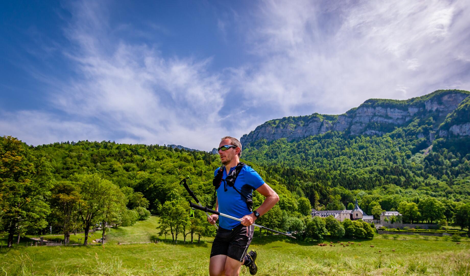
N°71 : Tour de la Cheminée du Lorzier
Sport,
Pedestrian sports,
Trail route
in Voreppe
Download
Difference in height
Services
Provider
Comments
Added to my selection
Add to my selection
Download
Difference in height
Services
Provider
Comments
Warning: Unsecured hours
15.9
km
Departure
Voreppe
Difference in height
1167.33 m
Plain text period
All year round daily.
Environment
Mountain view
Panoramic view
Forest location
Presence of livestock and guard dogs
Spoken languages
Documentation
Trail n°71 Tour de la cheminée de Lorzier
Trail n°71_GPX
Trail n°71_XML
GPX / KML files allow you to export the trail of your hike to your GPS (or other navigation tool)
See all reviews
1167 meters of difference in height
Maximum altitude :
1788 m
Minimum altitude :
911 m
Total positive elevation :
1167 m
Total negative elevation :
-1182 m
Max positive elevation :
710 m
Min positive elevation :
-594 m
Services
Equipment
Parking nearby
Public WC
From
1
January
until
31
December
Saint Dominique Biscuit Factory
Voreppe
"Belvédère" Nature Trail
Voreppe
×
Sélectionnez les options d'impression …
Imprimer le titre et la description
Imprimer les étapes
Imprimer les points d'intérêts
Imprimer les photos des points d'intérêts
Imprimer le graphique de dénivelé
Imprimer la carte
from
.
€
.
.
.
.
.
.
.
Close
English
Français
Close
×