


Guidebook with maps/step-by-step
(1) From the parking lot, you can reach the Croix du Rocher, which marks the start of the GR9 towards the Fort du Saint-Eynard. The marked trail (red and white) crosses a small torrent and then reaches the acrobatic park, where a path joins the downhill ski slopes. The ascent to the ridge is via these pistes. The GR leaves the piste and branches off to the left just before climbing the ridge. (2) End of difficulties: the rest of the route is relatively flat and straight.
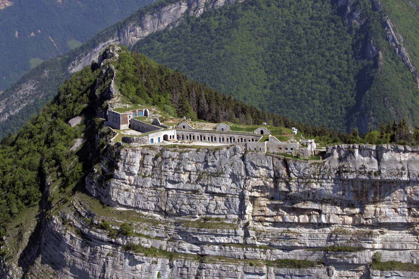
Past the Pas Guiguet, you reach the old batteries and then the fort. For the best view of Grenoble, continue on the GR around the ditch and up to a platform offering an unobstructed panorama (3). (4) To make a loop towards Le Sappey, return to the end of the old batteries and mark the start of the yellow-marked path, which descends through the woods, crossing the road several times and leading back to the hamlet of Pillonières. From here, the path leads to La Faurie and then back to the Parc Acrobatique.
Things to see and do nearby:
- Petits Jardiniers (10 km from the start): medicinal plant cultivation.
- Musée Arcabas en Chartreuse (13 km from the start): St Hugues church.
- Badiane Créations (14 km from the start): clothing creations.
- Musée de la Grande Chartreuse (15 km from the start): audio-guided tour.
Information / safety :
- It's a good idea to adopt a few rules and follow a few tips to make the most of your walks and hikes in complete safety! Before setting off, follow our recommendations and advice at chartreuse-tourisme.com/conseils-rando-trail (or on request at tourist offices).
- A mountain leader is a specialist in mountain fauna and flora, off-trail hiking away from the crowds, local history, alpine and farming traditions, etc. in complete safety! Just ask! Detailed list on chartreuse-tourisme.com/accomp (or at tourist offices).
- You hike under your own responsibility. Chartreuse Tourisme and the tourist offices cannot be held responsible for the itineraries proposed.
Useful numbers :
- Meteo (please consult before setting off): 3250 or www.meteo.fr
- Mountain rescue: 112
