Trail " Col de Porte "

Col de Porte - La Boucle des 3 Villages

Sport, Pedestrian sports, Trail route in Sarcenas
18.8 km
  • The itinerary starts on the same path as its easy and intermediate variants but, from Le Crêt, you'll descend to Maubuisson, then to the Château at Quaix-en-Chartreuse.

  • The calculation of the difficulty of each course takes into account the length, the positive vertical drop, the greatest continuous positive or negative vertical drop as well as the technicality of the terrain.
  • Guidebook with maps/step-by-step
    Enjoy a watering hole in the village before heading up the Pont de Vence. Save your breath to join the blue route at Le Fa.
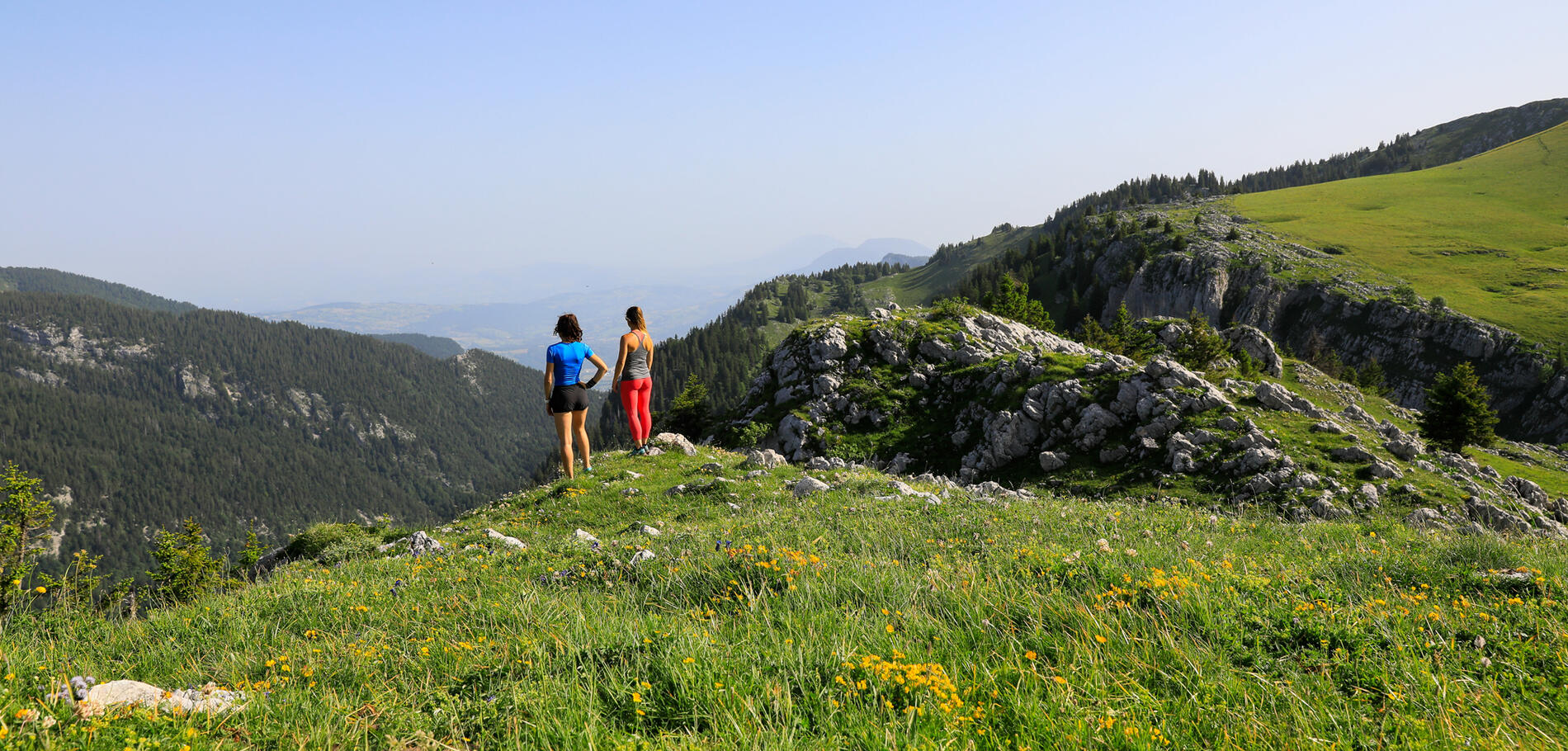
    Two variants are available: a round trip to La Pinéa and another round trip to L'Ecoutoux from the Col de Bens for a magnificent view from the summit.
  • Departure
    Sarcenas
  • Difference in height
    1214.67 m
  • The starting point is : from the Prairie du Col de Porte
    (signpost at the start of the Charmant Som road)
    Beaconing
  • Plain text period
    All year round.
  • Environment
    • Mountain location
    • Close to a public transportation
    • Bus stop < 500 m
  • Spoken languages
    • French
  • Documentation
    GPX / KML files allow you to export the trail of your hike to your GPS (or other navigation tool)
1215 meters of difference in height
  • Maximum altitude : 1534 m
  • Minimum altitude : 477 m
  • Total positive elevation : 1215 m
  • Total negative elevation : -1215 m
  • Max positive elevation : 508 m
  • Min positive elevation : -1019 m
Services
  • Services
    • Pets welcome