- 
                                                                    
    
    En live
1 - ski nordiqueMise à jour : 25 février 2025 - 12:54
- Col de Marcieu
 - Col de Porte
 - Le Désert d'Entremont
 - Le Granier
 - Le Sappey en Chartreuse
 - St Hilaire du Touvet
 - St Hugues / Les Egaux
 - Le Planolet
 
WeatherTotal snow depthSki lifts0/4Mise à jour : 14 avril 2025 - 15:20 - 
                                                                    
                                                                                    
                                                                                                                            Book 
online - 
                                                                    
                                                                                    
                                                                                                                            Shop 
online 
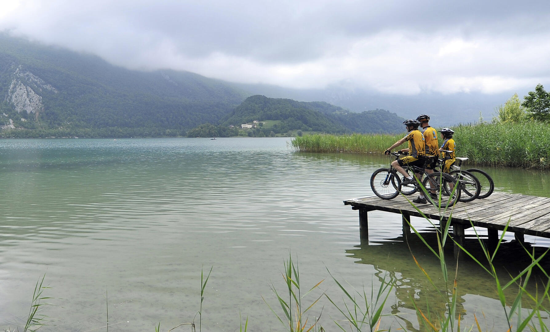
                            Circuit VTT n°2 - Boucle de Nances


                    Sport, Cycling sports, Mountain biking itinerary                    
                
                                                    in Nances
                            
            4.5
                        km
                    
                - Departure
 - Nances
 
- 
    
- 
                                Difference in height
 - 44.5841 m
 
 - 
                                
 - 
    
- 
                                Plain text period
 - 
                            All year round daily.
Subject to favorable weather. 
 - 
                                
 - 
    
- 
                                Environment
 
 - 
                                
 - 
    
- 
                                Spoken languages
 
 - 
                                
 - 
    
- 
                                Documentation
 - GPX / KML files allow you to export the trail of your hike to your GPS (or other navigation tool)
 
 - 
                                
 
- See all reviews
 
- 45 meters of difference in height
 - 
                
- Maximum altitude : 427 m
 - Minimum altitude : 377 m
 
- Total positive elevation : 45 m
 - Total negative elevation : -44 m
 - Max positive elevation : 25 m
 - Min positive elevation : -29 m
 
 
Services
        - 
    
- 
                                Equipment
 
 - 
                                
 - 
    
- 
                                Services
 
 - 


