
- 
                                                                    
    
    En live
1 - ski nordiqueMise à jour : 25 février 2025 - 12:54- Col de Marcieu
- Col de Porte
- Le Désert d'Entremont
- Le Granier
- Le Sappey en Chartreuse
- St Hilaire du Touvet
- St Hugues / Les Egaux
- Le Planolet
 WeatherTotal snow depthSki lifts0/4Mise à jour : 14 avril 2025 - 15:20
- 
                                                                    
                                                                                    
                                                                                                                            Book 
 online
- 
                                                                    
                                                                                    
                                                                                                                            Shop 
 online
 
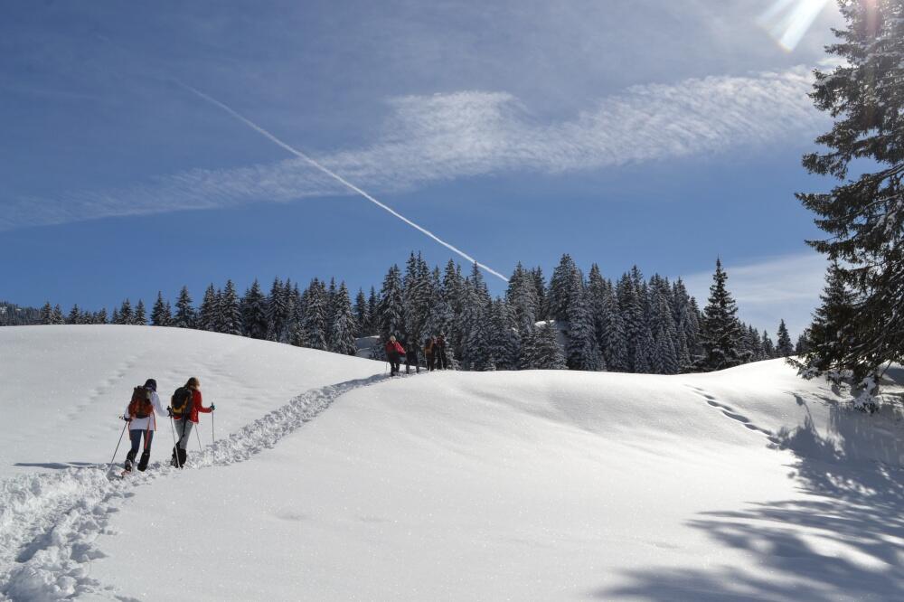
                            Circuit de la Ménardière - Itinéraire hiver


                    Sport, Winter sports, Snowshoe itinerary                    
                
                                                    in Entremont-le-Vieux
                            
            5.1
                        km
                    
                2h 30min
                Medium
                - 
                    An original route starting from the Col du Granier to reach the highest hamlets under the pass and the small family resort of the same name: nice viewpoints on the valley and on the Mont Granier. 
- Departure
- Entremont-le-Vieux
 
- 
    - 
                                Difference in height
- 153.926 m
 
- 
                                
- 
    - 
                                Plain text period
- 
                            From 15/12 to 10/03.
 
 Subject to favorable weather.
 
- 
                                
- 
    - 
                                Environment
 
- 
                                
- 
    - 
                                Documentation
- GPX / KML files allow you to export the trail of your hike to your GPS (or other navigation tool)
 
- 
                                
- See all reviews
- 154 meters of difference in height
- 
                - Maximum altitude : 1138 m
- Minimum altitude : 996 m
 - Total positive elevation : 154 m
- Total negative elevation : -155 m
- Max positive elevation : 93 m
- Min positive elevation : -122 m
 
Services
        - 
    - 
                                Services
 
- 


