Guidebook with maps/step-by-step
Starting from Raidlight, head towards Plan de Ville, then take the Bois des Lièvres trail on the right for a narrow initial descent. You will then cross the Couzon river via a footbridge before continuing your adventure through an alpine pasture to reach the road.
At the Patassière sign, continue left downhill to the end of the road before turning right, crossing a hedge and going around a Cartusian barn on the left.
At the end of the climb, you can admire Chamechaude and, at your feet, La Diat, a hamlet of Saint Pierre de Chartreuse and the starting point of the famous Chartreuse Terminorum.
At the next junction, turn left to continue down a wide, easy descent.
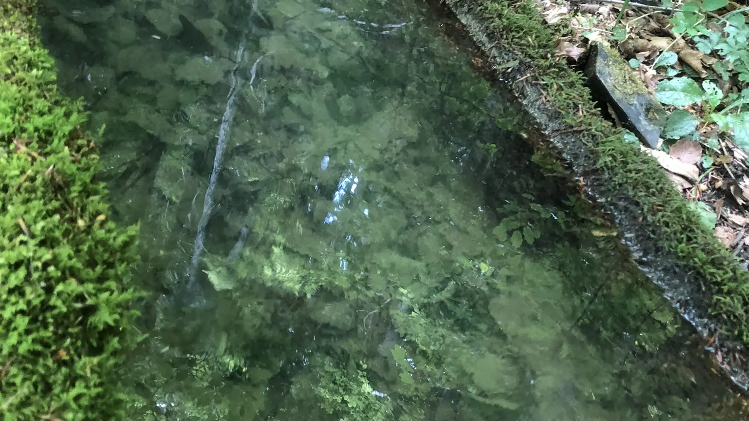
Cross a stream, which in spring can be surprising both for its flow and its temperature, and continue downhill. A little further on, turn right to take a path through the heart of the forest that would be a shame to miss.
On the way back, continue to the right to take the bridge over the Guiers Mort, where you can admire the sculpture of Saint Bruno by Guy Laffont.
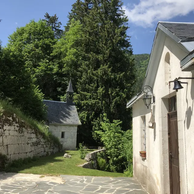
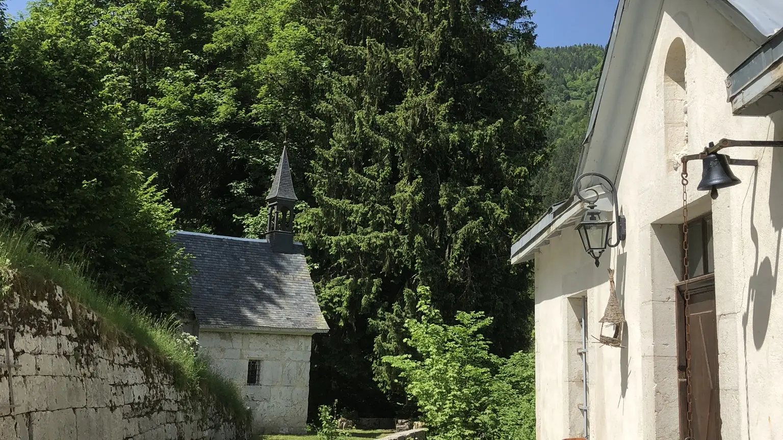
Continue straight ahead on the path to reach the road and then immediately take the path that climbs up to the right. You are now on Chemin du Grand Logis. At the top of the hill, you can admire the Saint Hugues Chapel on your right and the Grand Logis on your left, the residence of the armed men and women who, at the time, were not allowed to enter the grounds of the Grande Chartreuse Monastery.
Continue your adventure on the path to the right before joining the path slightly to the right that crosses the road and then opposite on the forest path.
At the Sur Chargeat signpost, turn right onto the path towards Pierre Mesure. You will enjoy the coolness of the forest on this undulating path.
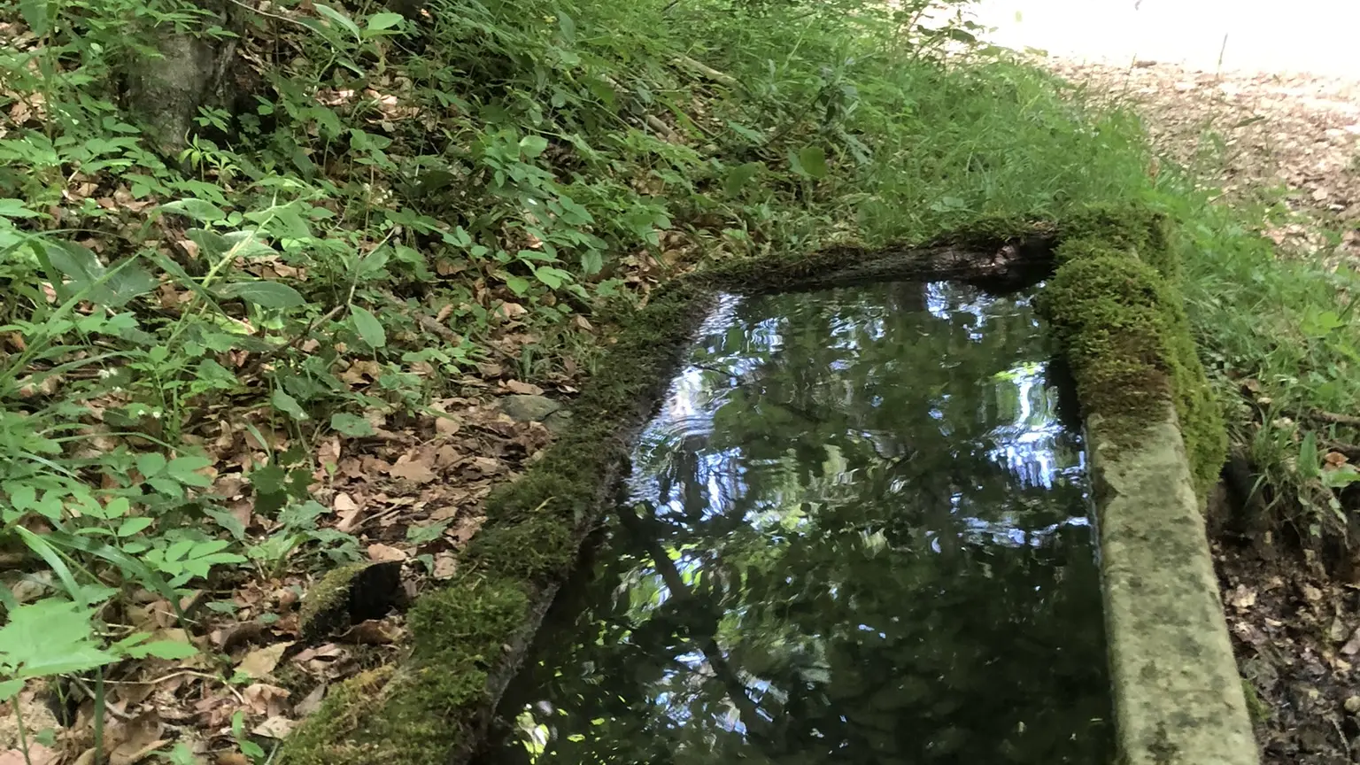
At the Fontaine de Fretteveille fountain, after admiring the still existing basin, continue on the path on your left, descending towards Mourinas.
Back on the road, continue straight ahead before taking the gravel path on the left at the signpost for La Martinière.
When you come out into the clearing, you can admire the view of the village and Chamechaude behind you before heading into the forest slightly to the left.
A fairly technical descent in wet weather takes you back to La Diat and its trial area, which you will go around to reach the Herretang footbridge.
Continue straight ahead between the tennis courts and the mini golf course to rejoin the road. Then cross the Pont Routier de la Dame bridge and continue straight ahead. Then turn right and immediately left onto the path after the bridge towards Pont de la Laiterie. The last 100 metres of elevation gain of the vertical kilometre take you to Place le Mairie, where you turn right to reach Raidlight.