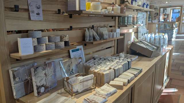
Le village de St Pierre d'Entremont

Tour du Grand Som en itinérance : étape 2

Pedestrian sports, Hiking itinerary in Saint-Pierre-d'Entremont
11.0 km
6h
Hard
  • Departure
    Saint-Pierre-d'Entremont
  • Difference in height
    754.145 m
  • Plain text period
    From 01/05 to 31/10 daily.

    Subject to favorable weather.
  • Spoken languages
    • French
  • Documentation
    GPX / KML files allow you to export the trail of your hike to your GPS (or other navigation tool)
754 meters of difference in height
  • Maximum altitude : 1188 m
  • Minimum altitude : 656 m
  • Total positive elevation : 754 m
  • Total negative elevation : -584 m
  • Max positive elevation : 362 m
  • Min positive elevation : -193 m