See photos (2)

La Bastille

Sport, Pedestrian sports, Trail route in Grenoble
4.7 km
  • The trail starts gently along the Isère riverside to Guy Pape Park before climbing to La Bastille on a shaded path.

  • The calculation of the difficulty of each course takes into account the length, the positive vertical drop, the greatest continuous positive or negative vertical drop as well as the technicality of the terrain.
  • Guidebook with maps/step-by-step
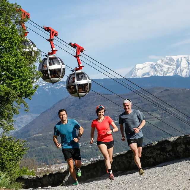
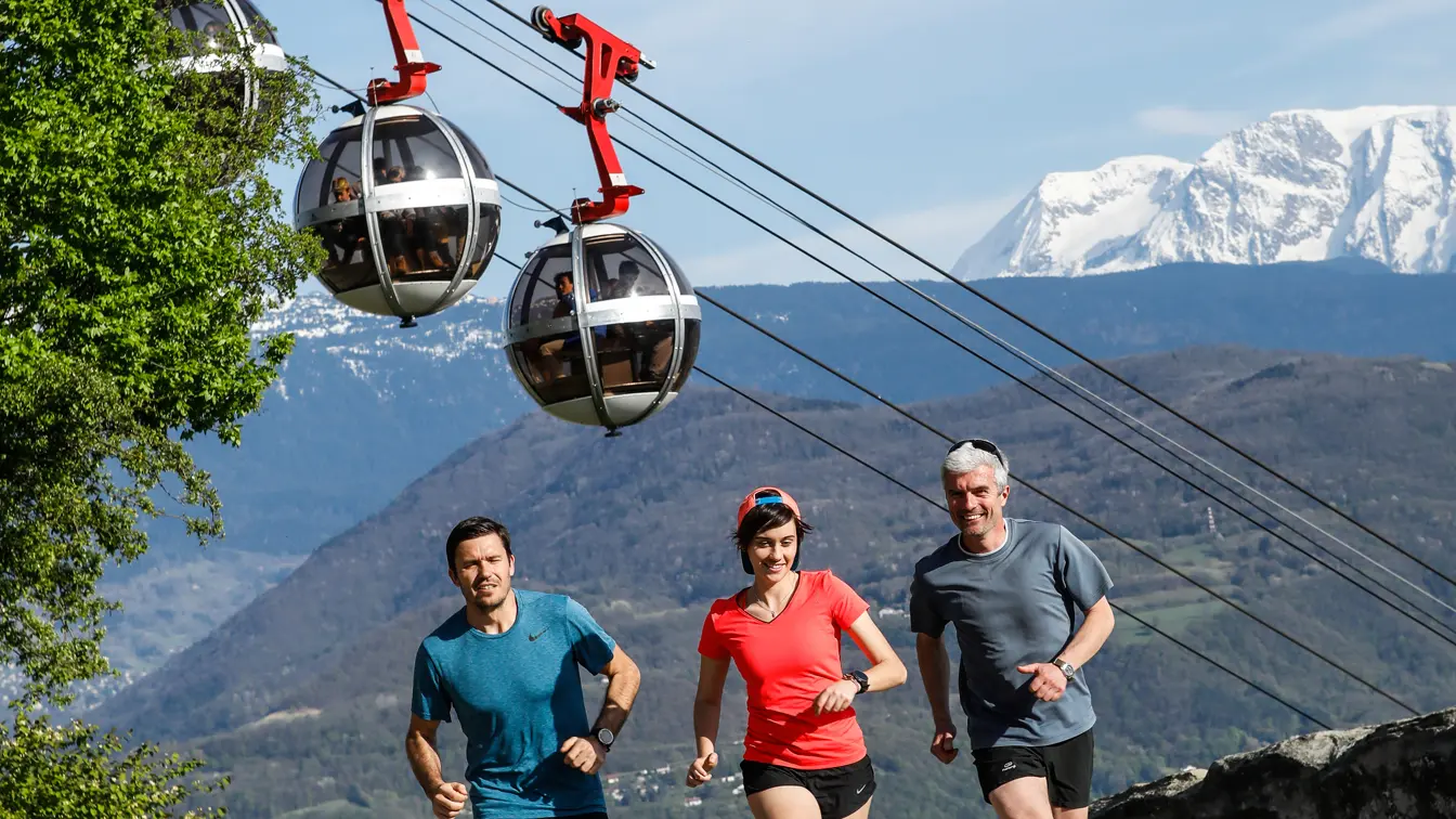
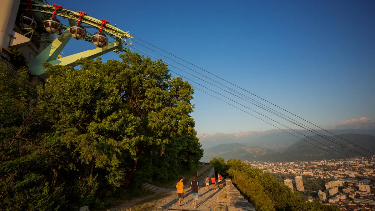
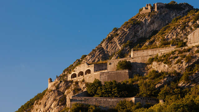
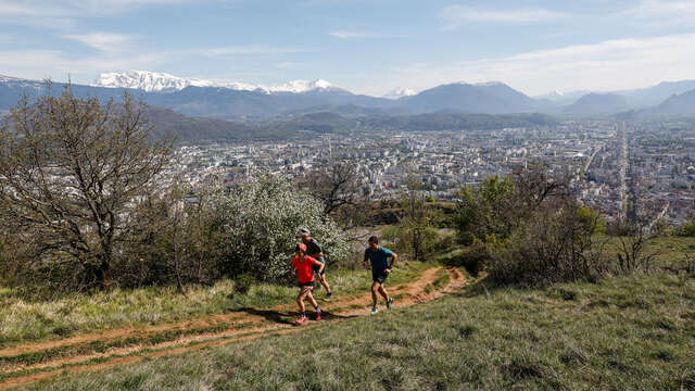
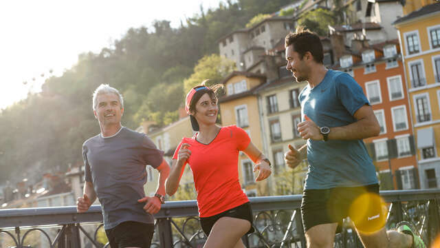
    After climbing a few steps to immerse yourself in the atmosphere of the fortifications, you come out onto the great surrounding rampart. Passing under the "Bulles" (Grenoble cable car) before reaching the quays via the Guy Pape park, the panoramic view of the city and surrounding mountains will reward your efforts.
    Water points: Porte Saint-Laurent, La rochette, Quai Saint Laurent
  • Departure
    Grenoble
  • Difference in height
    229.333 m
  • Sign at the beginning of the access road to the Archaeological Museum
  • Plain text period
    All year round.
  • Environment
    • Mountain location
    • Close to a public transportation
    • Bus stop < 500 m
  • Spoken languages
    • French
  • Documentation
    GPX / KML files allow you to export the trail of your hike to your GPS (or other navigation tool)
229 meters of difference in height
  • Maximum altitude : 431 m
  • Minimum altitude : 213 m
  • Total positive elevation : 229 m
  • Total negative elevation : -229 m
  • Max positive elevation : 208 m
  • Min positive elevation : -138 m
Services
  • Services
    • Pets welcome