


Guidebook with maps/step-by-step
From the Croix du rocher, above the cross-country ski hostel parking lot, take the path between the two houses and follow it. At the end, go through an opening in the fence and climb up through the meadow, following the signs. Once you're on the main track, take the opposite path up to the junction at Montjalat. Continue uphill to Montjalat le haut.
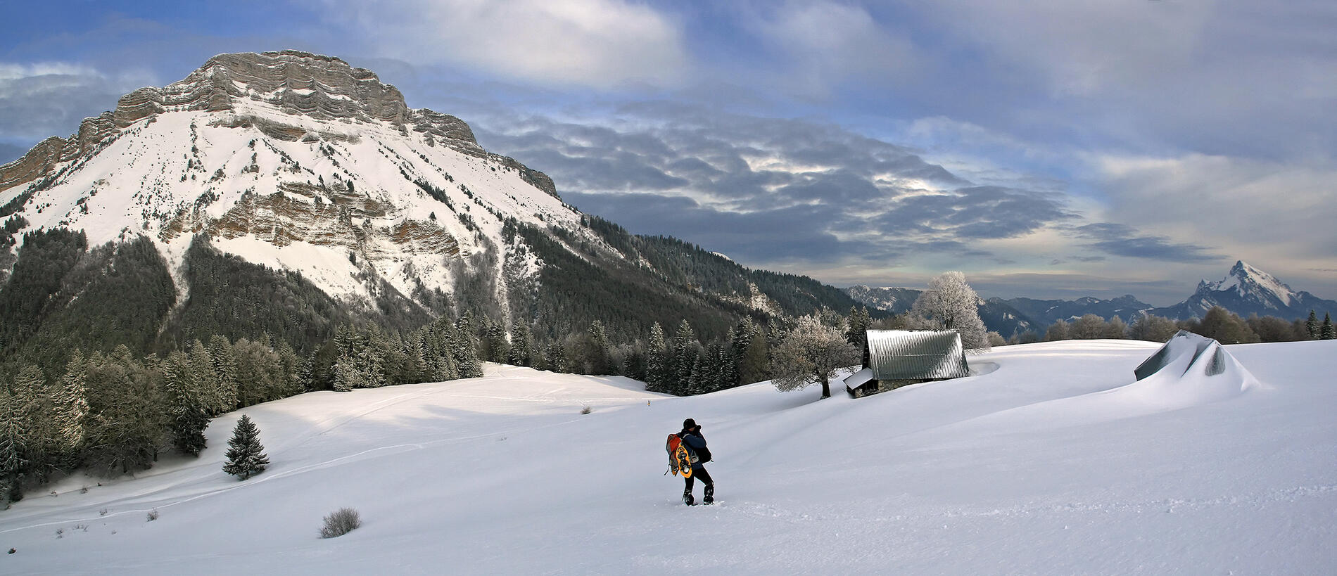
Turn right to follow an undergrowth path overlooking the cross-country ski trail (do not go down the trail, follow the signs). The circuit leads first to the ruin of Emeindras du dessous (ruin), then uphill to the Emeindras du Dessus mountain pasture. After enjoying the view, return along the same path.
Turn right to follow an undergrowth path overlooking the cross-country ski trail (do not go down the trail, follow the signs). The circuit leads first to the ruin of Emeindras du dessous (ruin), then uphill to the Emeindras du Dessus mountain pasture. After enjoying the view, return along the same path.
