Depuis le plateau de Rivoire

Echaillon walking loop

Sport, Pedestrian sports, Hiking itinerary in Saint-Christophe
3.7 km
2h
Easy
  • Rather easy hike, with beautiful views on the gorges of the Guiers river and the countryside. On the plateau of La Ravoire, many different species of birds live together in the splendid forest. Enjoy the song of the numerous wren and winter wren.

  • Guidebook with maps/step-by-step
    (1) From Pont Saint-Martin, take the Échaillon trail, which winds its way up to the Ravoire plateau. Follow the GR9 markings eastwards and take the trail overlooking the Échaillon gorges, where the Guiers Vif river flows.
    (2) The trail passes close to a viewpoint, where caution is advised (no barrier). Return to the GR9, then leave it about 500 m further on to turn north (yellow markings).
    (3) Cross the prehistoric site of La Fru to reach the Charmilles car park. Follow the GR9 for about 200 m before joining a yellow-marked path on the right. Cross the Ravoire plateau to the crossroads marked with a signpost.
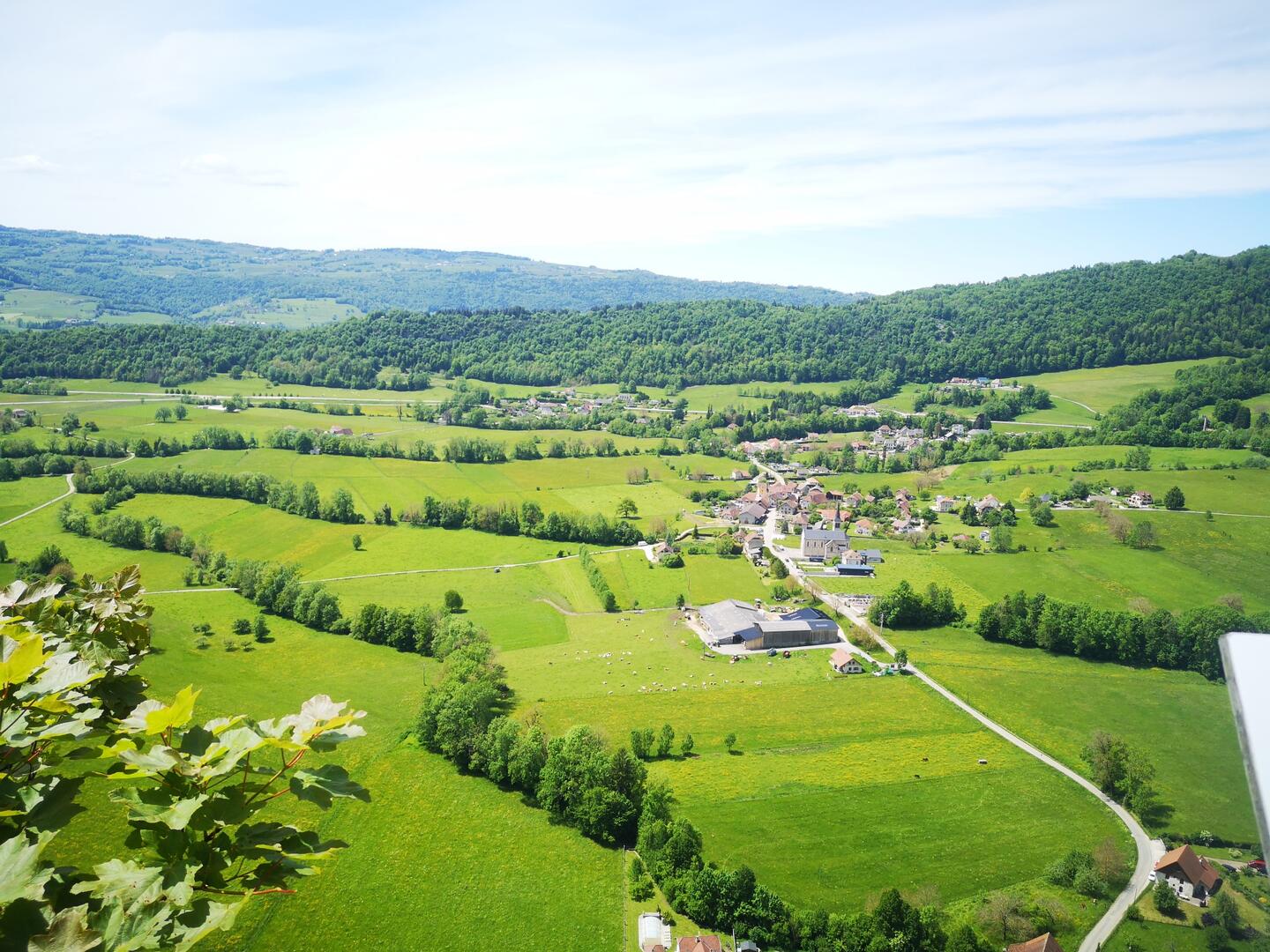
    (4) From here, you can make a round trip to a superb viewpoint overlooking the hamlet of La Grotte. Return to the crossroads and take the yellow-marked path southwards. After walking along the escarpments overlooking the valley, join the GR9 to return to the starting point.
    You can admire the gorge by crossing the Roman Bridge, but caution is advised with children.
  • Departure
    Saint-Christophe
  • Difference in height
    198.201 m
  • Carte 1/35000 - Massif de Chartreuse - Edition Didier Richard / Glénat / IGN / Carte IGN TOP 25 n°3334 OT Massif de la Chartreuse Sud / Saint-Pierre-de-Chartreuse / Villard-Bonnot et n°3333 OT Massif de la Chartreuse Nord
  • Plain text period
    From 01/01 to 31/12 daily.

    Subject to favorable weather.
  • Documentation
    GPX / KML files allow you to export the trail of your hike to your GPS (or other navigation tool)
198 meters of difference in height
  • Maximum altitude : 601 m
  • Minimum altitude : 427 m
  • Total positive elevation : 198 m
  • Total negative elevation : -198 m
  • Max positive elevation : 105 m
  • Min positive elevation : -13 m
Services
  • Services
    • Pets welcome