-
En live
WeatherTotal snow depth70cm40cm1 - ski nordiqueMise à jour : 13 décembre 2025 - 09:06
- Col de Marcieu
- Col de Porte
- Le Désert d'Entremont
- Le Granier
- Le Sappey en Chartreuse
- St Hilaire du Touvet
- St Hugues / Les Egaux
- Le Planolet
WeatherTotal snow depthSki lifts0/4Mise à jour : 14 avril 2025 - 15:20 -
Book
online -
Shop
online


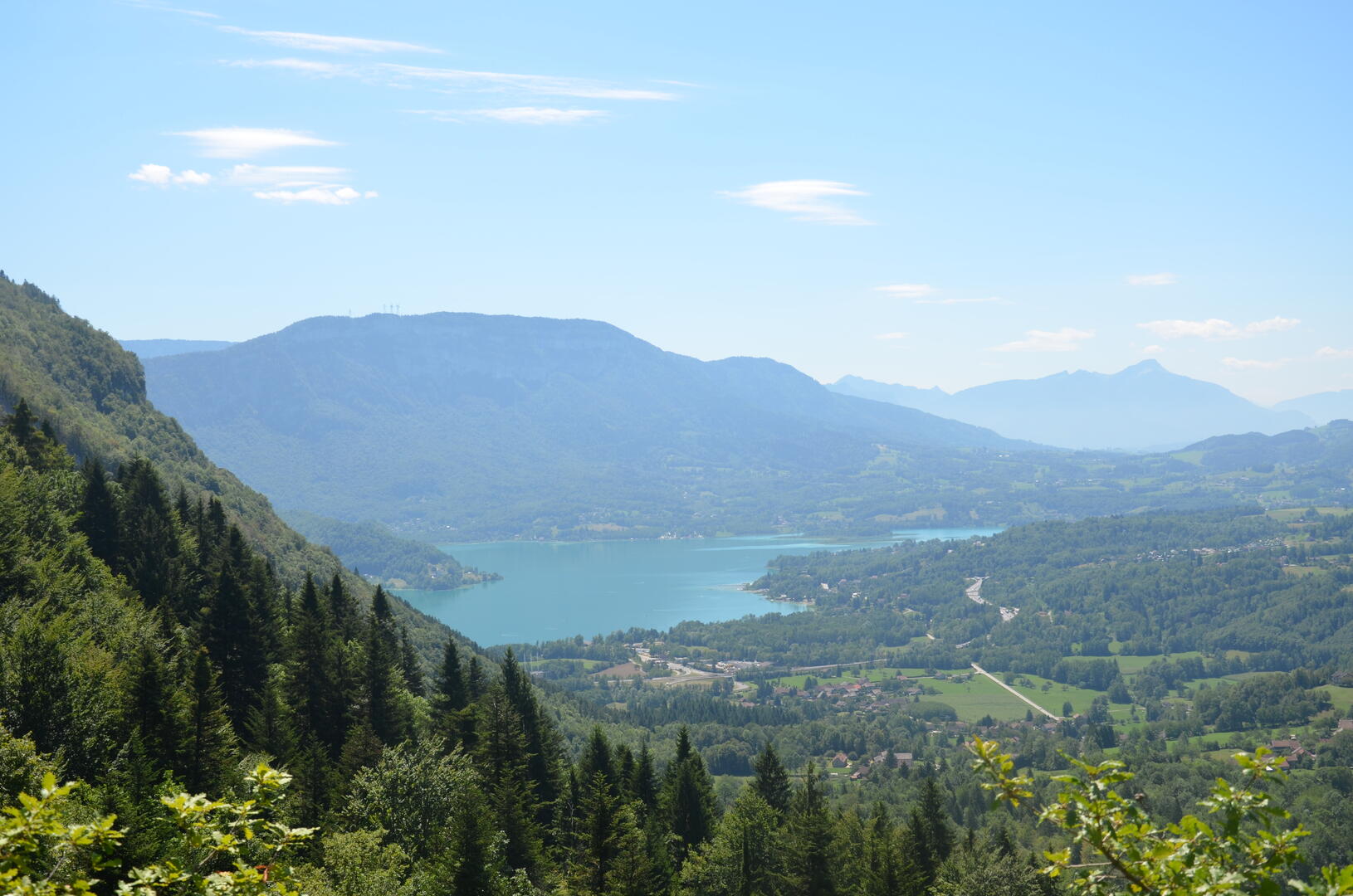
Château Richard through Provinces viewpoint
Sport, Pedestrian sports, Hiking itinerary
in Nances
7.8
km
2h 30min
Hard
-
Set off to discover the paragliding launch site at Provinces. Then, continue your route to the Château Richard viewpoint via the ladder passage or by taking the detour.
-
You will cross the forested area of the Aiguebelette Lake Nature Reserve — please respect the regulations.
- Departure
- Nances
-
-
Difference in height
- 482 m
-
-
-
Plain text period
- From 15/04 to 31/10 daily.
-
-
-
Environment
-
-
-
Spoken languages
-
-
-
-
-
Documentation
-
- Panneau d'informations randonnées des belvédères de l'Épine
- GPX Château Richard par le belvédère de Provinces
-
- See all reviews
- 482 meters of difference in height
-
- Maximum altitude : 1391 m
- Minimum altitude : 915 m
- Total positive elevation : 482 m
- Total negative elevation : -482 m
- Max positive elevation : 162 m
- Min positive elevation : -155 m
Services
-
-
Services
-
