See photos (4)

7 - Le Grand Som on trail

Sport, Pedestrian sports, Trail route in Saint-Pierre-de-Chartreuse
Temporarily closed
23.1 km
4h
Hard
  • A major challenge for experienced trail runners. You pass by the foot of the Grande Chartreuse Monastery and climb up to the Grand Som. Technical, demanding and resolutely Chartreuse.

  • Set off to explore trail no. 7 in Chartreuse, a harmonious route that will appeal to those who enjoy a measured challenge. Between gradual climbs and fun descents, the trail also has a few technical sections to raise the level of difficulty and stimulate your spirit of adventure. All this takes place in spectacular surroundings, punctuated by exceptional panoramic views of the Chartreuse mountains. An ideal route for reconnecting with nature, enjoying the trails and pushing your limits in...
    Set off to explore trail no. 7 in Chartreuse, a harmonious route that will appeal to those who enjoy a measured challenge. Between gradual climbs and fun descents, the trail also has a few technical sections to raise the level of difficulty and stimulate your spirit of adventure. All this takes place in spectacular surroundings, punctuated by exceptional panoramic views of the Chartreuse mountains. An ideal route for reconnecting with nature, enjoying the trails and pushing your limits in complete control.

    Download the Raidlight-Trail-Experience App
    Enjoy all the trail routes directly on your smartphone with several useful features:
    *Track your real-time location along the route
    *Access detailed trail descriptions during your outing and download the data for offline access
    *Benefit from detailed IGN maps and add your timing results to the routes.
  • Guidebook with maps/step-by-step
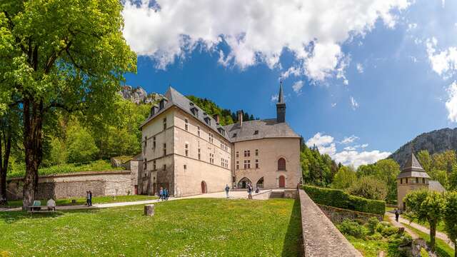
    After descending to the bottom of the station, you'll reach the Porte de l'Enclos (entrance to the Grande Chartreuse domain). You’ll embark on a long ascent of 1000m+ while passing by the Museum and the Monastery Convent (please respect the tranquility of the area!).

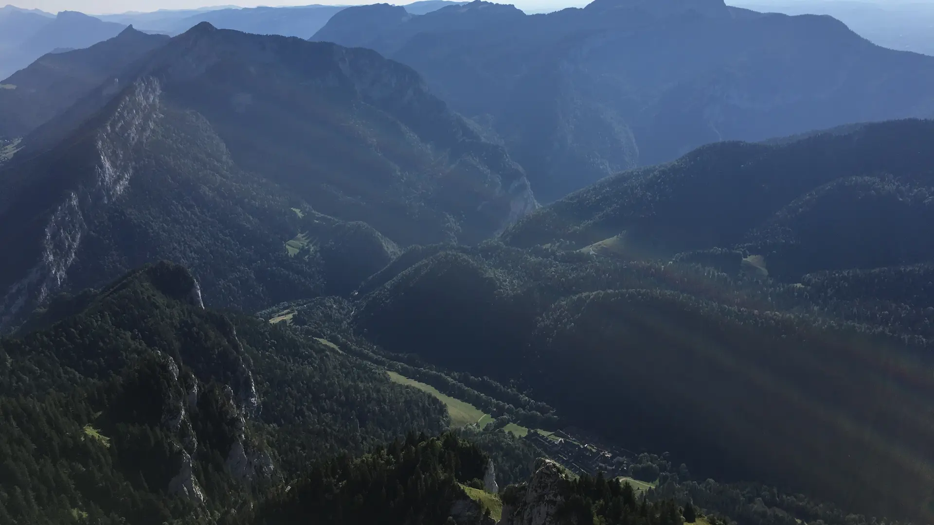
    After an initial forest section along the chapels of Saint-Bruno and Casalibus (without entering), you’ll cross the first meadows at the Col de la Ruchère before tackling more exposed sections at Petit Som.

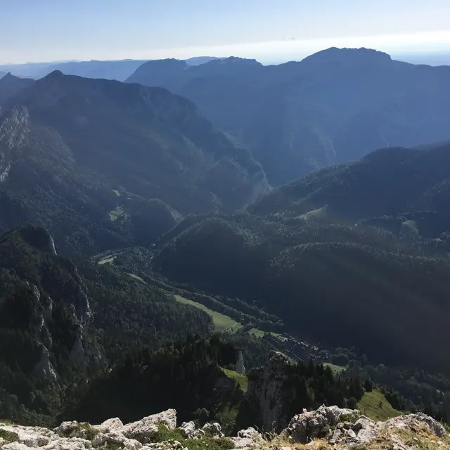
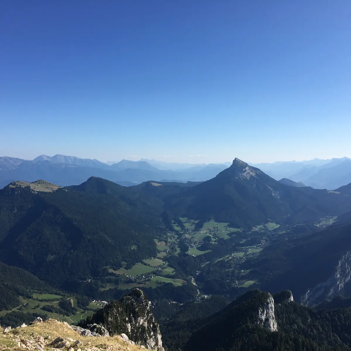
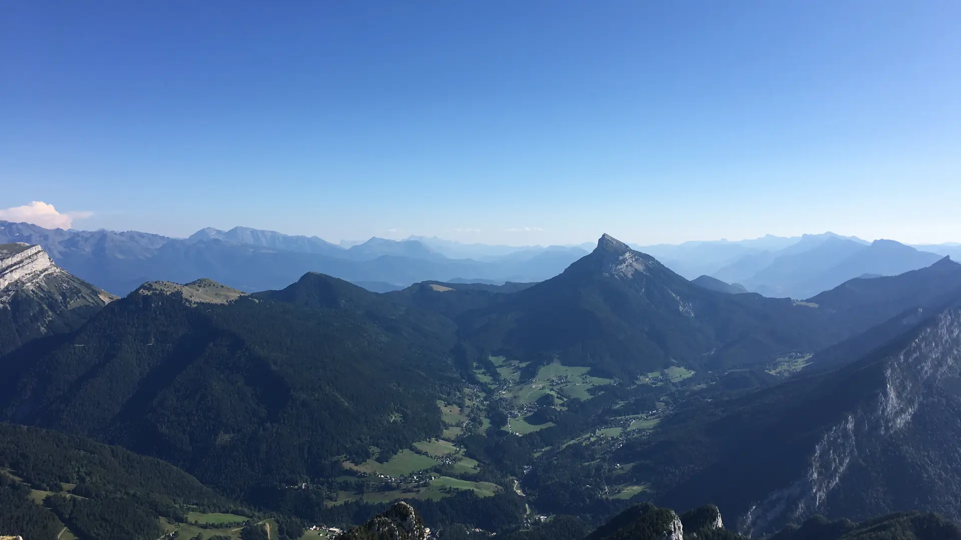
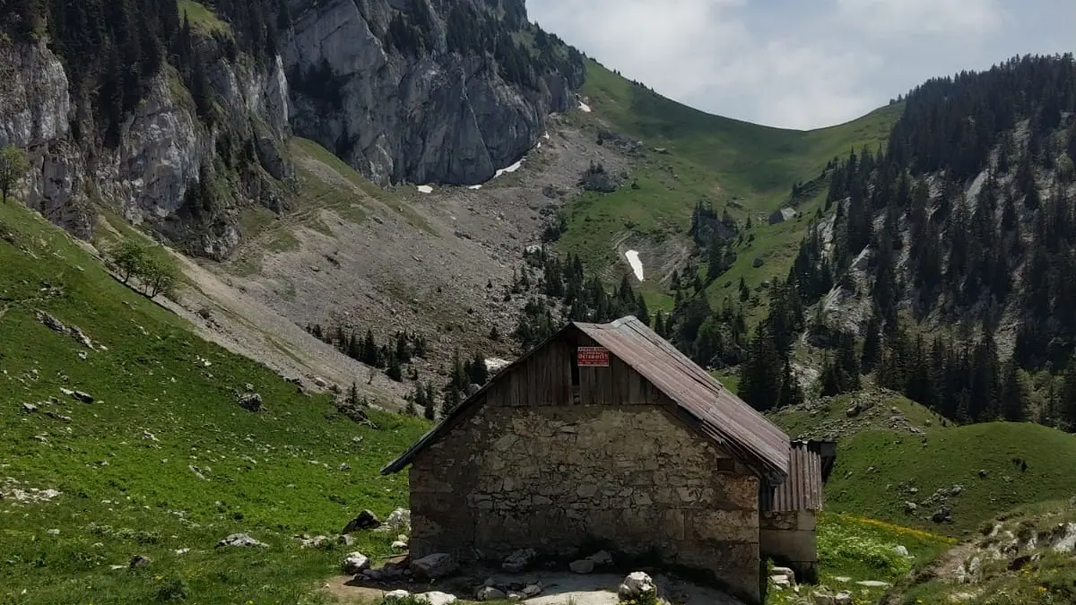
    Next, you’ll find yourself on the plateau of Habert de Bovinant before reaching the summit of Grand Som. The descent starts with some tricky sections at Racapé, followed by a pleasant sequence of switchbacks from the Col des Aures (optional detour to the col du Cucheron for a view of the Entremont valley).

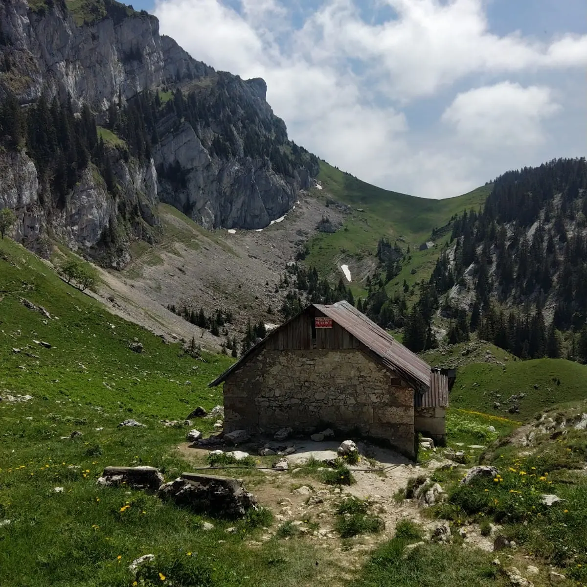
    At the foot of this trail, you’ll make a brief ascent before switching to the slope of La Scia and returning to the base area via a scenic path.
  • Departure
    Saint-Pierre-de-Chartreuse
  • Difference in height
    1671.47 m
  • Plain text period
    Closed temporarily.
  • Spoken languages
    • French
  • Documentation
    GPX / KML files allow you to export the trail of your hike to your GPS (or other navigation tool)
1671 meters of difference in height
  • Maximum altitude : 1948 m
  • Minimum altitude : 800 m
  • Total positive elevation : 1671 m
  • Total negative elevation : -1671 m
  • Max positive elevation : 435 m
  • Min positive elevation : -905 m